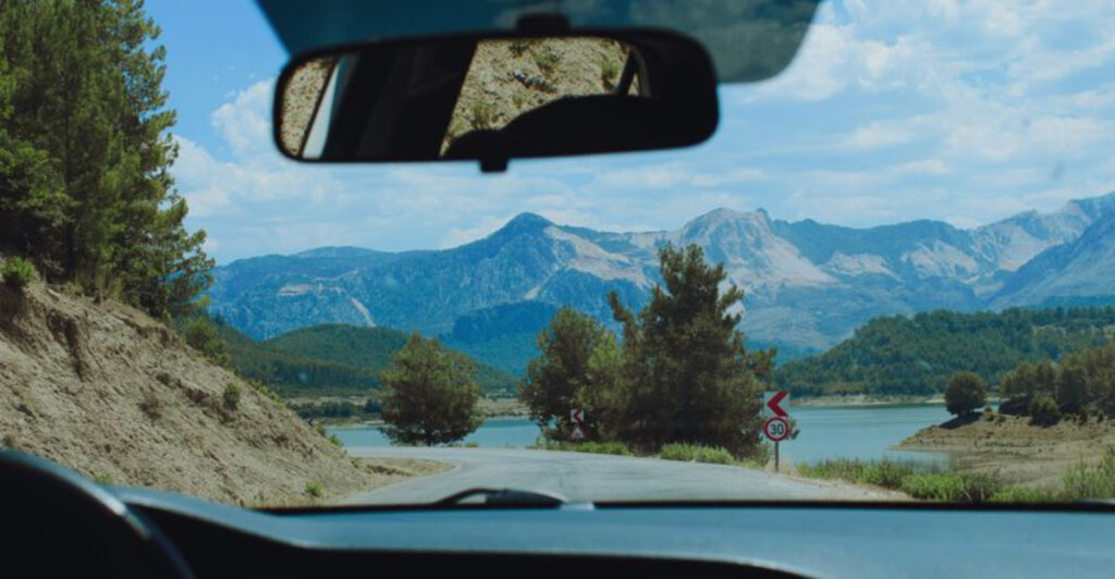
A stone wall slips past the passenger window while the Delaware River flashes through the trees, and suddenly 35 miles per hour feels perfectly reasonable. That is the pleasure of a proper Sunday drive: no aggressive itinerary, no race for the next exit, and no reason to complain when a tractor appears ahead.
New Jersey has more roads built for this mood than its turnpike reputation suggests. Some climb beside the Hudson atop sheer cliffs.
Others wander among horse farms, historic mills, cranberry bogs, salt marshes, and little towns where stopping for coffee can occupy an hour. The best routes also leave room for improvisation.
Pull over at an overlook, walk beside a canal, browse an antique shop, or keep driving until the scenery changes completely. These 13 roads reward curiosity more than speed, making them ideal for a quiet Sunday when the journey itself is the only plan you really need.
1. Old Mine Road through the Delaware Water Gap
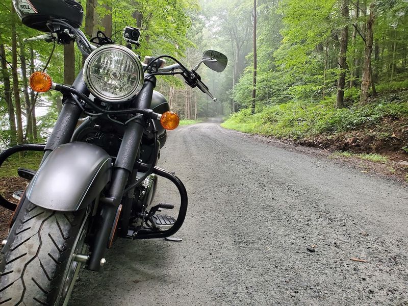
Rough pavement may be the best traffic-calming device ever invented. Along Old Mine Road, the uneven stretches encourage drivers to ease off the accelerator and notice the stone foundations, weathered farm buildings, forested slopes, and occasional views toward the Delaware River.
The road traces the New Jersey side of Delaware Water Gap National Recreation Area, carrying centuries of history beneath a canopy that changes from bright spring green to deep summer shade and blazing autumn color. This is not a polished boulevard with a scenic overlook every mile.
Its appeal comes from how removed it feels. Historic stops such as Millbrook Village, Peters Valley, and the remnants of former inns give the route a half-forgotten quality, while trailheads and picnic areas provide easy excuses to get out of the car.
A short walk can lead toward waterfalls, streams, old cemeteries, or river views before the drive continues. Bring water, snacks, and a downloaded map because mobile service can be unreliable in the park.
Road conditions and access can also change following storms, repairs, and seasonal work, so checking current conditions before choosing an entry point is worthwhile. Even when a detour is required, the open portions remain among New Jersey’s most convincing arguments for taking the long way.
2. Delaware River Scenic Byway
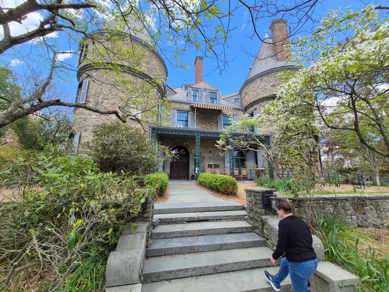
Let the river handle the navigation. For roughly 34 miles, this byway follows the western edge of New Jersey through a sequence of riverside communities that seem designed for unhurried wandering: Titusville, Lambertville, Stockton, Raven Rock, and Frenchtown.
The scenery shifts between wooded banks, canal-side stretches, historic houses, rocky hills, and glimpses of Pennsylvania across the water. Lambertville makes an obvious lunch stop, especially when Main Street’s shops, galleries, and restaurant patios are humming.
Stockton offers a quieter pause near Prallsville Mills, while Frenchtown rewards anyone who reaches the northern end with colorful storefronts and an easygoing river-town center. Between them, the Delaware and Raritan Canal towpath runs close to the roadway, creating plenty of opportunities to park and take a short walk beneath the trees.
History is never far away. The southern portion passes Washington Crossing State Park, where the landscape is tied to the Continental Army’s 1776 crossing and the events leading to the Battle of Trenton.
Farther north, mills, farmsteads, bridges, and old industrial buildings tell a less famous but equally interesting story about the river as a working transportation corridor. Traffic can build in Lambertville on pleasant weekends, so begin early or save the town for later in the afternoon.
The road becomes much calmer once the busy blocks fall behind.
3. Palisades Scenic Byway
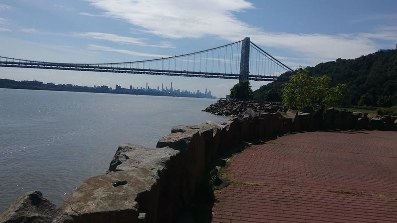
Manhattan appears almost without warning. One moment, the road is enclosed by woods; the next, a pull-off opens above the Hudson River with the skyline, George Washington Bridge, and New York shoreline spread across the distance.
That contrast makes the Palisades one of the rare drives where North Jersey density and genuine wilderness sit within the same frame. Begin near Fort Lee Historic Park, where reconstructed military features and exhibits recall the Revolutionary War defenses once positioned above the river.
From there, the Palisades Interstate Parkway runs north along the cliff tops, passing overlooks that make it easy to turn a simple drive into a string of small stops. Rockefeller Lookout provides broad river and city views, while State Line Lookout is especially rewarding during fall migration, when hawks ride the air currents above the cliffs.
Drivers with extra time can descend toward the riverfront picnic areas along Henry Hudson Drive. Ross Dock, Englewood, Undercliff, and Alpine offer tables, fishing access, playgrounds, and trail connections beneath the towering rock walls.
The lower road is narrower and more intimate than the parkway, with forest and exposed cliffs rising directly beside the pavement. Pack lunch rather than building the day around reservations.
A sandwich eaten beside the Hudson feels far more appropriate here, particularly when boats are moving below and the city remains visible but pleasantly out of reach.
4. Western Highlands Scenic Byway
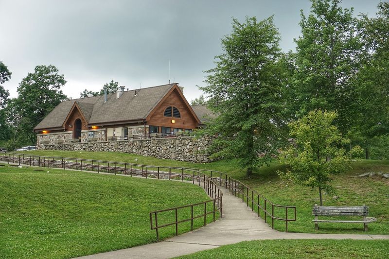
Sussex County begins to show off around Vernon. Farm fields roll toward dark mountain ridges, old barns appear beside stone walls, and the road repeatedly dips into hollows before climbing back into open country.
The approximately 23-mile Western Highlands Scenic Byway highlights a landscape that still feels distinctly rural despite being within reach of North Jersey’s suburbs. The route is especially satisfying when paired with one short outdoor stop.
The Pochuck Boardwalk section of the Appalachian Trail crosses wetlands on a long wooden walkway, giving visitors an easy leg stretch without committing to a major hike. More ambitious walkers can continue toward the Stairway to Heaven and Pinwheel Vista, where the reward is a sweeping look across farms and the Kittatinny Valley.
Wawayanda State Park adds another possible detour, with a mountain lake, forest trails, and remnants of the region’s ironworking past. Elsewhere, historic farms and small roadside markets make the drive feel connected to the working landscape rather than merely passing through it.
Depending on the season, a farm stand may provide apples, flowers, pumpkins, fresh vegetables, or baked goods for the ride home. This is a road best enjoyed before late-afternoon weekend traffic builds around Vernon’s busier attractions.
Start in the morning, keep the schedule loose, and allow time for any hand-painted farm-stand sign that catches your attention.
5. Warren Heritage Scenic Byway
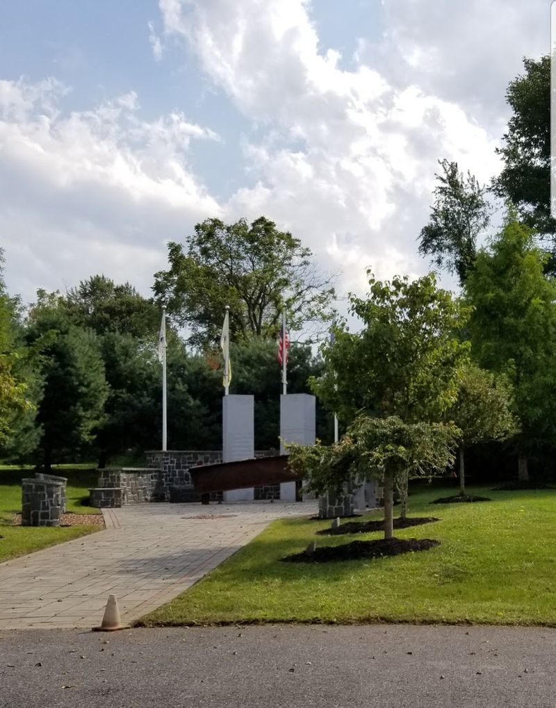
Route 57 does not rely on one dramatic viewpoint. Its charm accumulates gradually through 19 miles of ridges, farmland, old crossroads, river valleys, and small-town blocks between the Greenwich Township area and Hackettstown.
The road follows the shape of Warren County rather than cutting straight through it, creating the gentle bends and elevation changes that make a Sunday drive feel properly unscripted. Washington Borough provides the route’s liveliest intermission.
Its compact downtown has restaurants, shops, and historic buildings close enough together for a short walk before returning to the car. Beyond town, Route 57 passes broad fields and views of the surrounding ridgelines, with barns, silos, and church steeples punctuating the horizon.
In autumn, the hills provide plenty of color without the heavy traffic that gathers around New Jersey’s better-known foliage destinations. Several worthwhile detours sit just off the main road.
Merrill Creek Reservoir offers trails and water views near the western side of the county, while the Morris Canal Greenway preserves pieces of the transportation system that once moved coal across North Jersey. Hackettstown makes a useful finish, with enough choices for coffee, lunch, or an early dinner.
Do not expect every mile to be empty countryside; the route passes commercial and residential areas too. That variety is part of the appeal.
The road feels lived-in, linking farms, neighborhoods, and town centers rather than presenting scenery behind glass.
6. County Route 519 from Stockton to the New York State Line
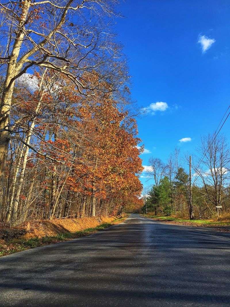
Few New Jersey roads change personality as often as County Route 519. It begins near the Delaware River outside Stockton, moves through Hunterdon County farm country, crosses the Musconetcong, winds through Warren County, passes Hope and Newton, and eventually reaches the New York line after nearly 90 miles.
Driving the full route is an all-day commitment, but even a carefully chosen portion delivers a remarkably varied slice of the state. The southern stretch moves among fields, woods, stone houses, and quiet communities such as Rosemont and Baptistown.
Farther north, Milford provides access to the Delaware River, while Hope supplies one of the drive’s most memorable townscapes. Its historic buildings reflect the community’s Moravian roots, and the surrounding roads quickly return to farmland and forest.
Beyond Newton, the route threads through Branchville and the rural landscape of Sussex County before climbing toward Wantage. Farms grow larger, traffic lights become less frequent, and the road feels increasingly remote as it approaches the Appalachian Trail and the state border.
This is not a sightseeing route with constant signs directing visitors toward attractions. Its pleasure comes from watching New Jersey change mile by mile.
Choose a manageable segment, avoid rushing through the town centers, and stop when something looks interesting. A farm market, old church, roadside diner, or wide valley view can easily become the best part of the day.
7. Millstone Valley Scenic Byway
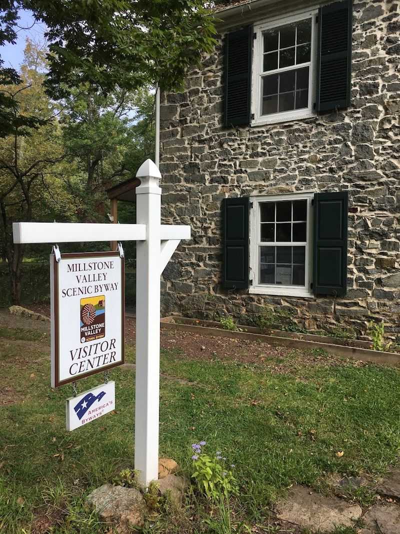
Canal Road narrows the world to water, trees, old houses, and the occasional cyclist moving along the towpath.
The approximately 25-mile Millstone Valley Scenic Byway passes through one of Central Jersey’s most quietly beautiful landscapes, where the Delaware and Raritan Canal, Millstone River, historic villages, and preserved farmland remain closely intertwined.
Griggstown is the route’s natural centerpiece. The old bridge, canal lock, bridgetender’s house, and village buildings create an unusually intact picture of the area’s transportation history.
On certain weekends, the bridgetender’s house operates as a visitor center, but the surrounding paths and canal views are worth the stop even when the door is closed. Blackwells Mills offers another peaceful canal-side pause, while East Millstone contains historic homes and the Franklin Inn, a structure dating to the 18th century.
Rockingham, where George Washington stayed during the closing months of the Revolutionary War, sits nearby and adds a nationally significant chapter to the drive. The road itself requires attention.
Some sections are narrow, cyclists are common, and the canal can sit close to the pavement. That naturally keeps speeds low, which suits the scenery perfectly.
Bring walking shoes and plan at least one towpath stroll, even if it lasts only 20 minutes. The water moves slowly, the trees lean over the canal, and rushing back to the car suddenly seems unnecessary.
8. Upper Freehold Historic Farmland Scenic Byway
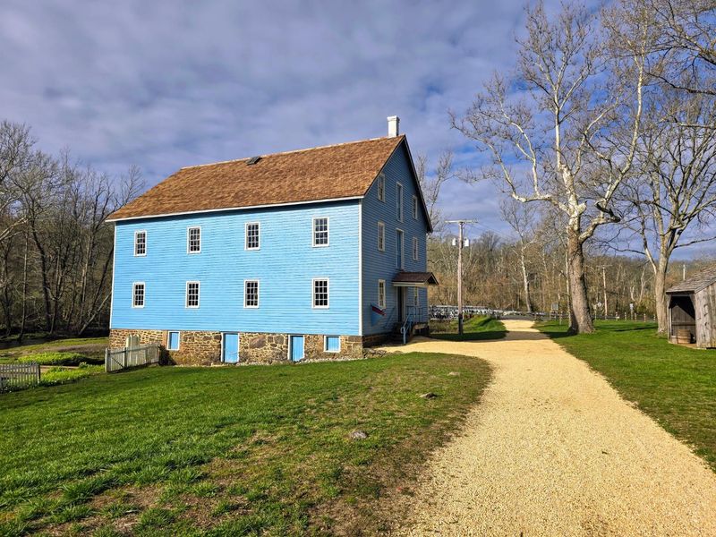
A horse trailer ahead is not an inconvenience here; it is confirmation that you chose the right road. The Upper Freehold Historic Farmland Scenic Byway loops through approximately 28 miles of preserved agricultural country, historic crossroads, old homes, equestrian properties, and villages that have resisted being absorbed by the surrounding suburbs.
Allentown makes a strong starting point. Its Main Street contains early American buildings, local shops, cafes, and the Old Mill beside Conines Mill Pond.
Once outside the borough, the landscape opens quickly into fields and long fence lines. Imlaystown, tiny enough to miss with one distracted glance, contributes an old mill and a cluster of historic buildings that look especially striking in the low afternoon light.
Historic Walnford deserves more than a drive-by. The preserved estate includes a large house, farm buildings, and a working gristmill beside Crosswicks Creek.
Nearby, the Old Yellow Meeting House and its cemetery offer another quiet look at Upper Freehold’s colonial past. Clayton Park and the Union Transportation Trail provide options for a short walk when too much time in the car begins to feel indulgent.
Spring brings green fields and flowering trees, while late summer adds roadside produce stands. Autumn may be the showiest season, but winter reveals the rolling shape of the land and the handsome bones of old farmhouses.
Every season gives this route a reason to slow down.
9. County Route 539 from Allentown to Tuckerton
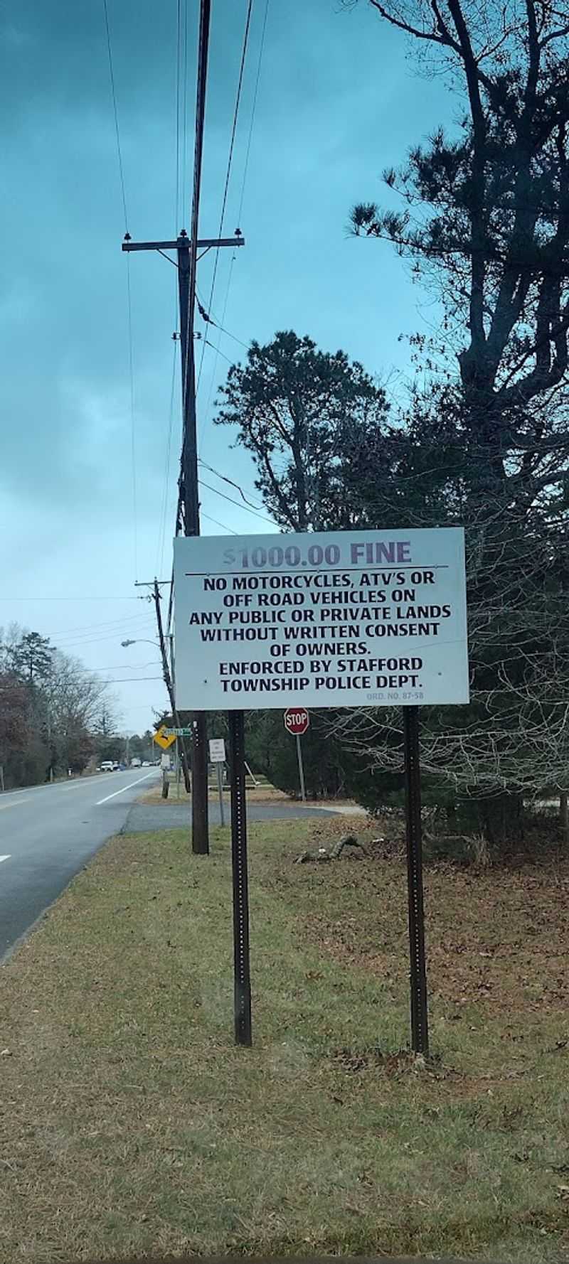
The scenery changes so gradually that the exact moment can be hard to identify. North of Route 70, County Route 539 feels like Monmouth County farm country.
Miles later, the fields have disappeared, pitch pines press closer to the road, and the landscape has become unmistakably Pine Barrens. That transition makes the drive from Allentown to Tuckerton one of the state’s most satisfying north-to-south journeys.
Begin with breakfast or coffee in Allentown, then follow 539 through Upper Freehold’s horse farms and open land. South of Interstate 195, development thins and the road enters the wooded interior of Ocean County.
Long, straight stretches pass through portions of Joint Base McGuire-Dix-Lakehurst and remote sections where intersections become scarce. Whiting offers a practical midpoint before the route pushes deeper into the pines.
Near Tuckerton, the landscape begins to flatten, and hints of the coast appear in the wider sky and saltier air. The borough’s historic center and Tuckerton Seaport provide an easy finish, while nearby Great Bay Boulevard can extend the drive into the marshes.
County Route 539 is not packed with conventional attractions, and that is exactly why it works. The empty stretches create room to notice the sandy shoulders, scrub oaks, utility cuts, and subtle changes in vegetation.
Fill the tank before the most isolated portion, choose a good playlist, and let the road’s slow transformation provide the entertainment.
10. Pine Barrens Scenic Byway
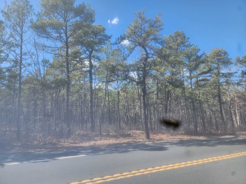
Silence feels different in the Pinelands. It is broken by wind in the pines, tires humming over a two-lane road, and perhaps the sudden cry of a hawk above a clearing.
The Pine Barrens Scenic Byway extends for roughly 130 miles through South Jersey, connecting forests, wetlands, rivers, historic villages, wildlife refuges, and communities shaped by cranberry farming, ironmaking, and maritime traditions. Attempting the entire route in one afternoon would miss the point.
Choose a section and build the day around two or three stops. Batsto Village is the essential introduction, with preserved buildings from a former iron- and glassmaking community inside Wharton State Forest.
Farther east, Bass River State Forest offers trails and lake views, while Tuckerton Seaport explores the culture of the Barnegat Bay. The southern stretches lead toward places such as Weymouth Furnace, Mays Landing, Dennisville, and Port Elizabeth.
In between, the road passes cedar swamps, sandy tracks, bogs, and broad stands of pitch pine that appear simple at first and increasingly intricate the longer you look. Pack food or plan meals carefully because services can be widely spaced.
Wildlife is most active near dawn and dusk, so reduce speed and watch the shoulders. The Pinelands rarely deliver one giant, postcard-ready reveal.
Their hold is quieter: mile after mile of unusual terrain that makes New Jersey feel much larger and wilder than expected.
11. Great Bay Boulevard, Better Known as Seven Bridges Road
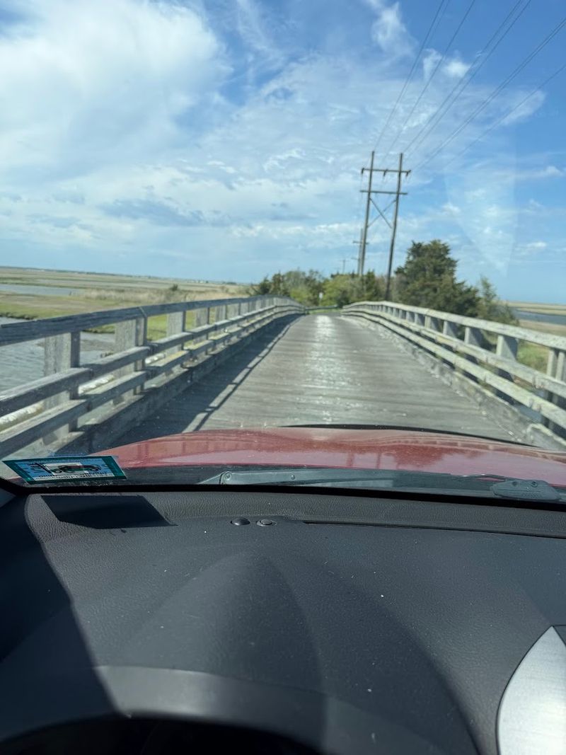
The pavement keeps narrowing while the horizon keeps widening. Great Bay Boulevard begins near Tuckerton and pushes several miles into an enormous salt marsh, crossing tidal creeks on its way toward a dead end near Great Bay.
Locals call it Seven Bridges Road, although counting the bridges has long been part of the route’s minor mythology. This road was once intended as the beginning of a causeway toward the barrier islands and Atlantic City.
The grander plan never materialized, leaving behind something much better for a Sunday afternoon: a quiet two-lane road surrounded by reeds, winding channels, mudflats, and sky. Ospreys perch on platforms, herons hunt beside the creeks, and shorebirds gather where the tide exposes feeding areas.
There are few reasons to hurry. Pull-offs provide room to watch birds, photograph the marsh, or simply stand where the only visible structures may be bridges, utility equipment, and distant navigation markers.
Bring binoculars and time the drive near golden hour when the grasses turn copper and the water reflects the changing sky. The road ends, so every visitor eventually returns the same way.
That is not repetitive. Tides shift, birds move, and the light falls from a new direction, making the drive back look entirely different from the drive out.
12. Ocean Drive from Cape May to Ocean City
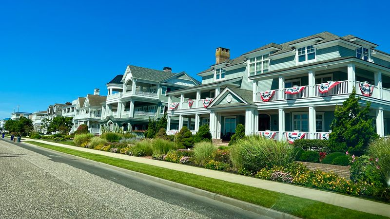
Ocean Drive from Cape May to Ocean City is the kind of route that makes even a casual outing feel like a proper coastal excursion. You get a lively mix of water views, bridge crossings, shore-town character, and those bright, breezy stretches where the air itself feels like part of the scenery.
It is playful, scenic, and very easy to enjoy.
What keeps this drive interesting is the variety packed into it. One section feels relaxed and residential, another opens up toward the water, and then suddenly you are in the orbit of boardwalk energy, marinas, or classic shore architecture.
I like that it never locks into one note for too long.
This is a great pick when you want a drive with built-in stop potential. You can keep it simple and cruise the whole route, or turn it into a full Sunday with coffee, seafood, a beach walk, or a few minutes parked near the bay.
For scenery with salt air, movement, and pure Shore personality, Ocean Drive absolutely delivers.
13. Bayshore Heritage Scenic Byway
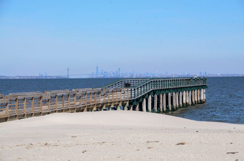
New Jersey’s Delaware Bay coast does not announce itself with amusement rides or high-rise hotels. It arrives through weathered fishing towns, marsh roads, old farmhouses, wildlife refuges, and views across water that can seem almost empty.
The Bayshore Heritage Scenic Byway strings those places together for approximately 122 miles through Salem, Cumberland, and Cape May counties. Fort Mott makes a memorable western starting point.
Its concrete fortifications once formed part of a Delaware River defense system, and visitors can walk among the structures before continuing through Salem County’s flat agricultural landscape.
Greenwich adds colonial history and a monument recalling the local tea-burning protest of 1774, while roads farther south lead toward the Maurice River and communities shaped by fishing, oystering, and shipbuilding.
Fortescue sits directly on the bay with a working-waterfront feel that has survived changing industries and repeated storms. Near the byway’s southern end, Cape May Point adds dunes, migratory bird habitat, and a lighthouse to the landscape.
Spring shorebird migration and autumn hawk season bring extraordinary wildlife, but even a quiet winter day has its rewards. The full byway requires serious time, so treat it as a menu rather than a checklist.
Choose a county, follow the route, and accept that some roads will end at marshes, boat ramps, or wide bay views. Those apparent dead ends are often the entire reason for coming.