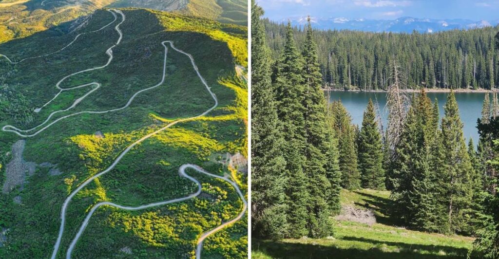
The road keeps climbing, and then Grand Mesa does something unexpected—it opens into an enormous high-country landscape dotted with forests, lakes, and sweeping views. Grand Mesa Scenic Byway follows CO-65 through this remarkable corner of western Colorado, giving road-trippers access to mountain scenery without requiring a strenuous hike to reach it.
Wildlife, changing elevations, and frequent opportunities to pull over make the journey feel different from one mile to the next. Even better, the drive itself delivers much of the adventure. For travelers who usually race past on the way elsewhere, Grand Mesa offers a spectacular reason to turn off the main highway.
A Road That Climbs Into a Different World
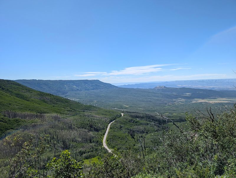
The change begins sooner than many drivers expect. One minute, the route near Cedaredge moves through lower country and orchard areas, and before long the road starts lifting into cooler air, thicker trees, and broader views. That quick shift is part of the fun, because Grand Mesa does not reveal itself all at once.
CO-65 rises toward one of the world’s largest flat-topped mountains, and the byway makes that unusual landscape easy to understand. Most mountain drives build toward a sharp peak, but this one leads to a high, wide top that stretches out with forests, lakes, and open sky.
The shape alone gives the trip a different rhythm, since the drama comes from contrast instead of a single summit moment.
Along the way, drivers can watch the scenery trade fruit-growing valleys for ponderosa pine, then spruce, fir, and patches of aspen. Pullouts become more tempting as the elevation changes, especially where the land drops away and the Uncompahgre Valley spreads out below.
A good plan is to avoid rushing the climb, because many of the best scenes happen between major stops, not only at the top.
Weather adds another layer to the experience. Warm conditions below can turn chilly higher up, and in shoulder seasons it is possible to see leftover snow near the roadside while lower elevations feel almost like a different month.
Packing a jacket, water, and a full tank makes the drive smoother, especially for travelers who decide to stop often for photos.
By the time the mesa opens up, the route has already done something memorable. It has shown how quickly Colorado can change, not over hundreds of miles, but over one mountain road that keeps unfolding in plain sight.
Lakes Scattered Across the Mesa Top
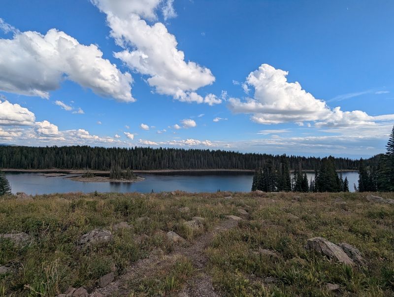
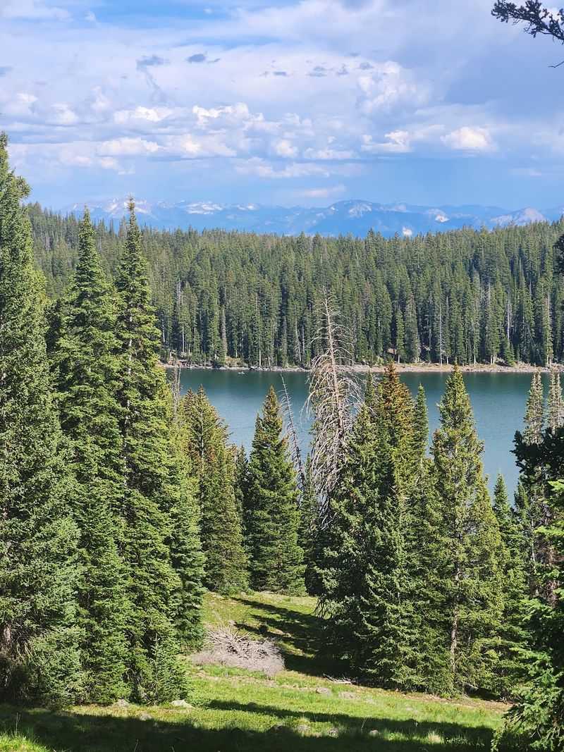
Up on the mesa, water seems to appear everywhere. Grand Mesa is known for its many lakes, and that feature gives the byway a personality that feels very different from a dry canyon drive or a steep alpine pass.
Instead of only chasing overlooks, travelers can pause beside still water, watch light move across the surface, and reset the pace of the day.
Some lakes are easy to see from the road, while others sit just beyond short pull-ins or trail access points. Island Lake often gets attention for good reason, and the Mesa Lakes area is another place where the byway starts to feel less like a simple drive and more like a chain of outdoor choices.
Fishing, gentle walks, picnic breaks, and boating all fit naturally into the route without turning the day into a major expedition.
That abundance of lakes also softens the landscape. The mesa top does not rely on bare rock drama alone, because the water adds shine, color, and movement.
On calm days, reflections of trees and clouds can make even a quick stop feel bigger than expected. During cooler months, frozen or partly frozen lakes create a completely different scene, with quiet shorelines and bright patches of snow nearby.
For families or travelers who do not want a nonstop drive, the lake stops are especially useful. Kids can stretch, photographers can hunt for reflections, and anyone who packed lunch can turn a scenic byway into a simple mountain picnic.
Bug spray, layers, and a little patience help, since the best stop may be the one that is not crowded and was not even on the original plan.
That is one reason the route stands apart. Grand Mesa Scenic Byway is not only about seeing a mountain. It is also about how many pieces of mountain life gather around its lakes.
Colorado Views That Keep Switching Channels
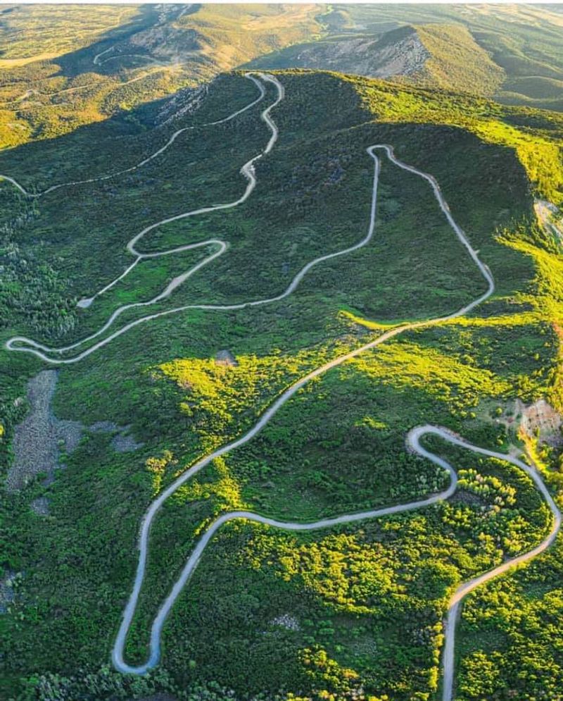
Some scenic roads offer one signature view and then repeat it for miles. Grand Mesa Scenic Byway works differently.
The outlook changes so often that the drive can feel like flipping channels between forests, open slopes, lake edges, distant valleys, and sudden clearings where the horizon stretches far beyond the guardrail.
Lower sections build anticipation with rising curves and glimpses back toward the land below. Higher up, broad overlooks reveal how elevated the mesa really is, and the flat-topped shape becomes easier to read from the road.
Instead of climbing toward a narrow point, drivers move across a lifted landscape that seems to hold whole neighborhoods of scenery on top of it.
That variety is especially strong in fall. Aspen stands turn bright yellow against dark evergreens, and the contrast gives the route a sharper, more graphic look than many leaf-peeping drives.
Even outside autumn, the visual mix stays lively. Summer brings wildflowers and rich green forest, while spring and early May can still show snowbanks and frozen water. A clear winter scene has its own clean, quiet power.
Photography is easier here than at places where every great angle requires a hike. Pullouts and roadside pauses let travelers capture mountain-top views without special gear or complicated timing.
Early morning offers softer light and a calmer road, while later in the day can brighten the valley views and wake up lake reflections. Cloud cover is not bad news either, because shifting shadows can make the mesa look bigger and more layered.
The best approach is simple. Keep the camera handy, but also leave room to just look. On this byway, the scenery does not come as one grand finale. It keeps arriving in fresh pieces, mile after mile, all across Colorado’s wide rooftop.
Wildlife on the Shoulder, in the Trees, and Near the Water
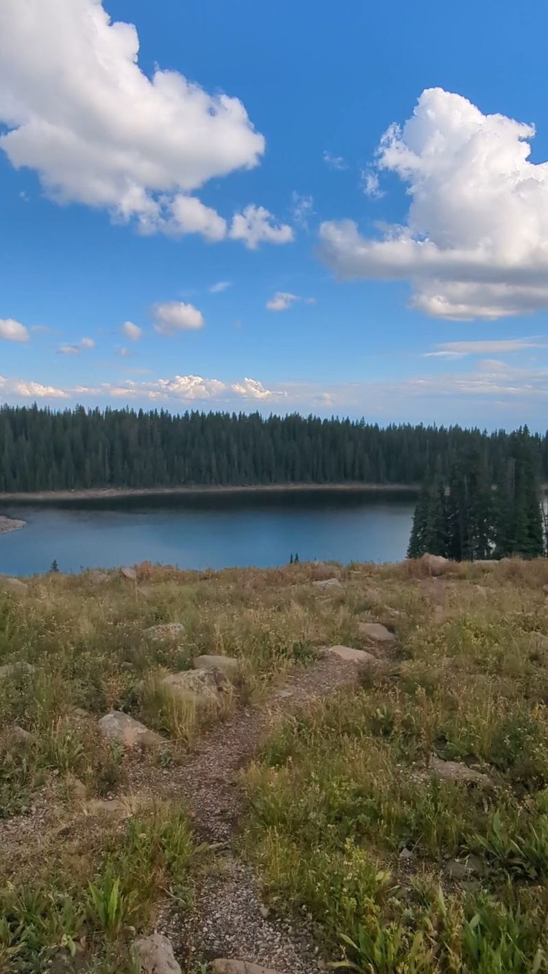
Not every mountain drive comes with a good chance of animal sightings, but Grand Mesa Scenic Byway has that extra spark. Deer, birds, and smaller mountain creatures can appear with little warning, and the setting around lakes, forests, and meadows gives wildlife plenty of room to move.
That means the road asks for alert driving even when traffic is light. Travelers have spotted deer, marmots, and even bears in the broader area, while open stretches may also include free-roaming cattle near the roadway. That last detail matters more than it sounds.
A scenic drive can make people relax too much, yet this is a route where the next bend might hold a photo chance or a reason to brake. Slow, steady driving fits the byway better than trying to cover it in a hurry.
Wildlife watching works best when the car becomes a quiet observation spot instead of a moving rush. Early and late hours can be especially rewarding, though animals can appear anytime.
Lakeshores, creeks, and meadow edges are useful places to scan with patient eyes. Even a short turnout stop can reveal birds crossing the water, deer near tree lines, or small mammals darting through brush.
Good habits help protect both people and animals. Keep a respectful distance, avoid feeding wildlife, and never block the road for a closer look.
If hiking near the byway, closed-toe shoes and simple tick awareness are smart additions to the day. A small pair of binoculars can also do more than a zoom lens when the goal is to watch without crowding the scene.
The payoff is not just seeing an animal. It is noticing how alive the mesa feels. Grand Mesa Scenic Byway is full of movement, and some of its best moments happen when the forest edge suddenly starts moving back.
More Than a Drive: Trails, Pullouts, and Easy Adventure
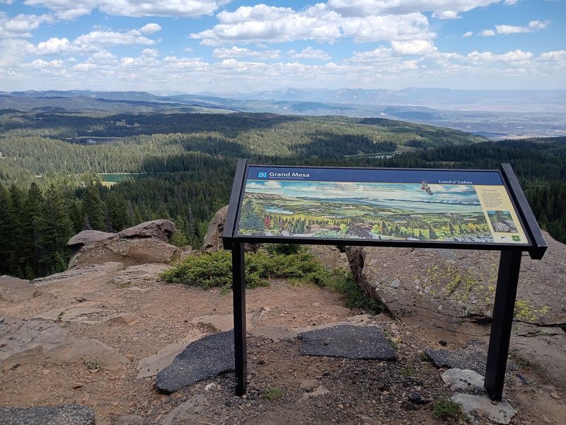
Here is where the byway starts acting like a full day outdoors instead of a simple route between points. Grand Mesa Scenic Byway has plenty of places to stop, stretch, and step into the landscape, which makes it a strong choice for travelers who want variety without committing to a hard backcountry trip.
The road invites short adventures in manageable pieces. Trail access near the Mesa Lakes area gives beginners and casual walkers a practical starting point.
A quick shoreline path, a stop at a visitor-focused area when open, or a longer leg-stretch between drives can break up the miles in a satisfying way.
For many travelers, that balance is the real strength of the byway. The mountain experience can stay gentle, flexible, and still feel rich.
Some side areas are rougher or slower than the main drive, including routes leading toward notable viewpoints such as Lands End. Dirt roads and potholes may lengthen travel time, so extra patience is useful if that kind of detour is part of the plan.
On the paved byway itself, though, the road is generally approachable, which helps families, older travelers, and anyone who wants scenery without white-knuckle driving.
Smart pacing makes a big difference. A route that looks short on a map can easily become a half-day outing once photo stops, wildlife pauses, and trail breaks begin stacking up.
Bringing snacks, water, layers, and a paper map or downloaded directions keeps the mood easy when cell service becomes less dependable. Comfortable shoes matter too, because the best roadside stop often turns into a short walk.
That built-in flexibility is a quiet advantage. Grand Mesa Scenic Byway lets people design their own mountain day, whether that means a few overlooks and lunch by a lake or a stop-and-go ramble with several short hikes.
Why Cedaredge and the Mesa Make a Strong Pair
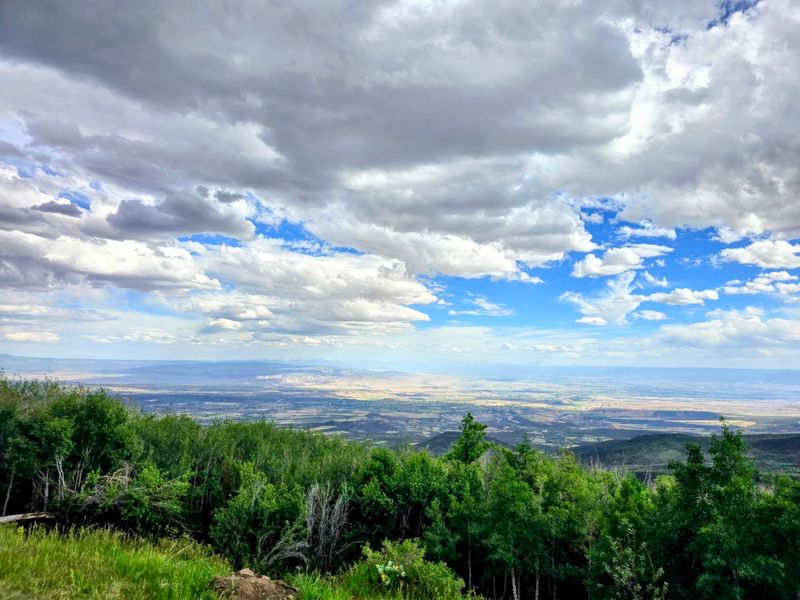
Grand Mesa Scenic Byway does not sit in isolation, and that local connection makes the route more interesting. Cedaredge serves as a natural launch point, giving the drive a grounded beginning before the road climbs into cool forest and high-country scenery.
Starting near a working town rather than a remote gate makes the transition more dramatic and easier to appreciate.
The byway’s relationship with the surrounding communities also helps explain why the road is practical as well as beautiful. Travelers can begin the day with everyday needs handled below, then head upward for lakes, overlooks, and trails without losing a full day to logistics.
That close connection between town life and mountain access is part of what keeps the route approachable for repeat visits in different seasons.
There is also a strong sense of regional contrast built into the drive. Orchard country and valley floors feel far removed from the spruce-fir world on top of the mesa, yet they sit within the same outing.
That kind of geographic jump gives the byway extra depth. It is not only a mountain road. It is a lesson in western Colorado elevation, climate shifts, and how local landscapes stack together.
For road trippers, Cedaredge works best as the calm before the climb. Fuel up, check the weather, and do not assume the conditions above will match the temperature in town.
A sunny afternoon below can turn crisp or even snowy higher up, especially in spring and fall. That mismatch is common on Grand Mesa and worth planning for before the first curves begin.
By linking a friendly town approach with an unexpectedly vast mountain top, the route gains a stronger story. Grand Mesa Scenic Byway is not just scenery dropped on a map. It rises directly out of everyday Colorado and then changes the whole scale of the day.
When to Go and How to Make the Most of the Miles
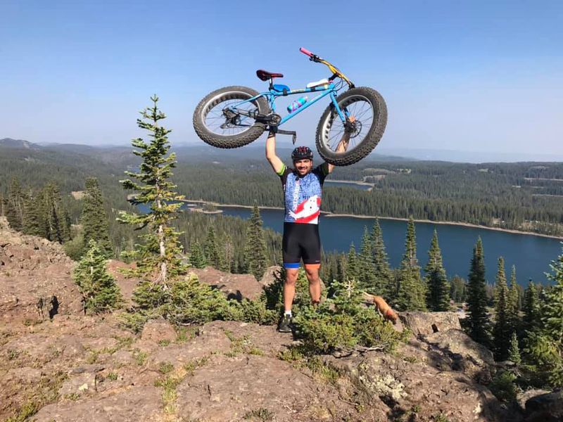
Timing shapes this drive more than many first-timers expect. Grand Mesa Scenic Byway is open around the clock, but the best experience depends on weather, season, and how much stopping you want to do.
A fast pass-through can still be pretty, yet the road shows its real range when there is enough time for overlooks, lakes, and a few unplanned pauses.
Fall is the headline season for many travelers, thanks to bright aspen color and crisp mountain air. Summer brings easier access to lakes, boating areas, trailheads, and longer daylight for a slow scenic loop.
Spring can be beautiful too, though snow may linger and some facilities may not be open yet. Early May conditions can look more like late winter on top, with frozen lakes and snow piled near the roadside.
That seasonal swing means packing for layers is not optional. Water, snacks, sunglasses, and a warmer jacket belong in the car even on mild days below.
If hiking is part of the plan, sturdy shoes and simple tick awareness are smart. Since the drive encourages frequent stops, it also helps to start with a full tank and not rely on a tight schedule. The route is better when it can breathe.
Morning often offers quieter roads, softer light, and a better chance to enjoy pullouts before the day gets busier. Afternoon works well for people who like brighter lake scenes and a more leisurely pace, but afternoon weather can also shift quickly in the mountains.
Keep an eye on the sky, especially during changeable seasons. The biggest planning tip is wonderfully ordinary. Slow down.
A trip that might look like a short scenic connector on a map often turns into an hour and a half or more once the mesa begins handing out reasons to stop.
The Flat-Top Surprise That Outshines the Usual Scenic Detour
Grand Mesa Scenic Byway wins people over because it refuses to act like a minor side trip. On paper, it might seem like just another scenic road in a state full of famous mountain routes.
In practice, the mesa’s scale, shape, and changing scenery give it a personality that stands apart from the sharper, more expected alpine drives many travelers already know.
The flat-topped mountain setting is the key difference. Instead of racing to a single dramatic crest and then dropping away, the road reaches a lifted world that keeps extending.
Lakes, forests, wildlife, and wide views all share the stage. That makes the trip feel fuller and less one-note. There is always one more turnout, one more patch of color, one more stretch where the landscape changes its mind.
Another strength is accessibility. You do not need advanced outdoor skills to enjoy it well. Families, casual sightseers, photographers, and hikers can all build satisfying days here because the byway mixes easy scenic rewards with optional deeper exploration.
It works for a quick mountain sampler, but it also supports a slower style of travel where lunch by a lake and a short walk become enough.
Even the contrast with nearby lower country adds power to the story. The climb from Cedaredge into cold air, high trees, and broad mesa-top country makes the drive feel larger than its map line suggests.
That dramatic shift happens without long-distance wilderness logistics, which is part of why the route can surprise people who have somehow missed it.
Seen as a whole, the byway offers more than pretty scenery. It explains a piece of Colorado geography in real time through road curves, temperature changes, water, forest, and light.
Grand Mesa Scenic Byway hides in plain sight only until the first climb begins. After that, it becomes the kind of road trip people start measuring others against.