An old railroad route can become a wonderful place to spend an afternoon, especially when the tracks give way to a smooth path through woods, small towns, and open fields. Across Ohio, rail trails let you ride farther without facing steep hills at every turn, while walkers can enjoy birdsong, river views, and quiet stretches away from busy roads.
Some routes make an easy outing with children, others connect several communities for a longer bike trip, and a few lead past bridges, train displays, or rock walls that turn an ordinary break into something memorable. The trails below offer different ways to enjoy that slower pace, whether you want to pedal for hours or simply walk until you find a pleasant spot to rest; before leaving, check the local trail website for closures, parking rules, surface conditions, and available restrooms, since those details can change with weather and repairs, then choose a starting point that fits your time and energy, bring water even on cool days, carry a snack for longer outings, and remember that a flat trail can still feel challenging when wind picks up or the miles begin to add up, especially on the return trip, when tired legs appreciate a shorter route and a nearby place to sit, so leave room in your plans for breaks, watch for other trail users, and enjoy the small details that make Ohio’s outdoor paths worth exploring in every season, from fresh spring leaves to bright fall colors and peaceful summer evenings.
1. Heart of Ohio Trail: A Country Ride With Room to Roam
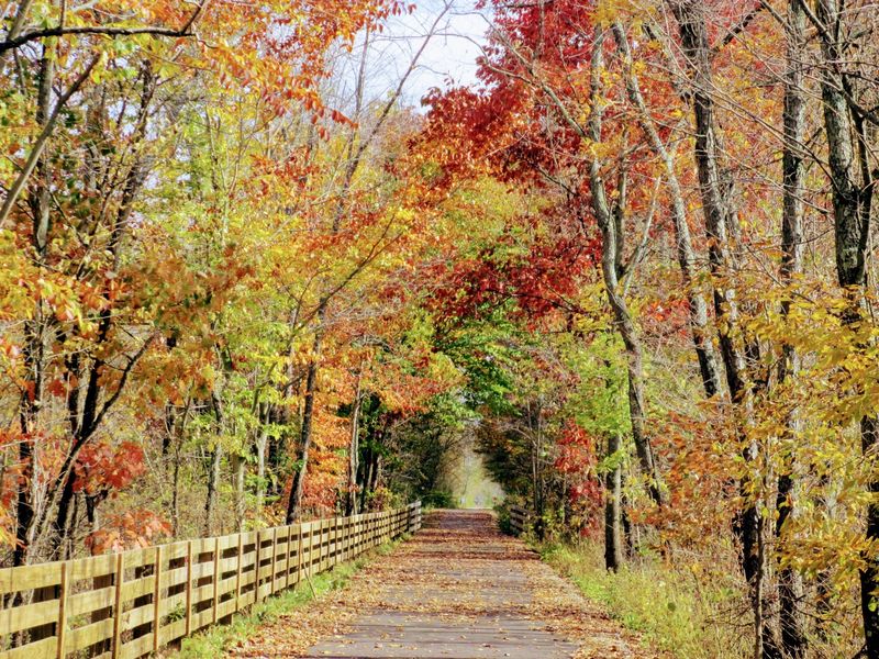
Open fields and a long ribbon of pavement make it easy to settle into a comfortable rhythm here. The Heart of Ohio Trail follows a former railroad corridor through Knox County, linking the Mount Vernon area with Centerburg and the countryside beyond.
Its mostly gentle grades suit riders who want steady miles rather than a hill workout. Walkers can choose a town access point, stroll into the trees, and turn around whenever the afternoon calls for a snack or a seat.
Centerburg makes a handy starting place because the village gives your outing a clear destination and a chance to explore nearby streets. Before parking, check the current trail map for designated lots, restroom locations, and any construction notices affecting your chosen section.
The scenery changes between shaded stretches, small communities, and farmland, so the ride rarely feels stuck on repeat. In warmer months, exposed sections can become sunny and breezy.
Bring sunscreen and more water than you expect to need, especially if you plan to cover several towns.
For a longer adventure, look into connections with the wider Ohio to Erie Trail route. Those links can extend your mileage, but they also require closer attention to signs and possible road crossings.
Download a map rather than assuming every turn will be obvious from the saddle.
A relaxed out and back works just as well as a big cycling day. Start with a distance you know feels comfortable, then save enough energy for the return against a possible headwind.
Keep right, announce your approach before passing, and slow near families or busy access points. The real reward is not speed.
It is the chance to watch Ohio’s rural landscape unfold at a pace that lets you notice fence lines, birds, and changing light along the way without feeling rushed to reach the next stop.
2. Great Guernsey Trail: An Easy Escape Near Cambridge
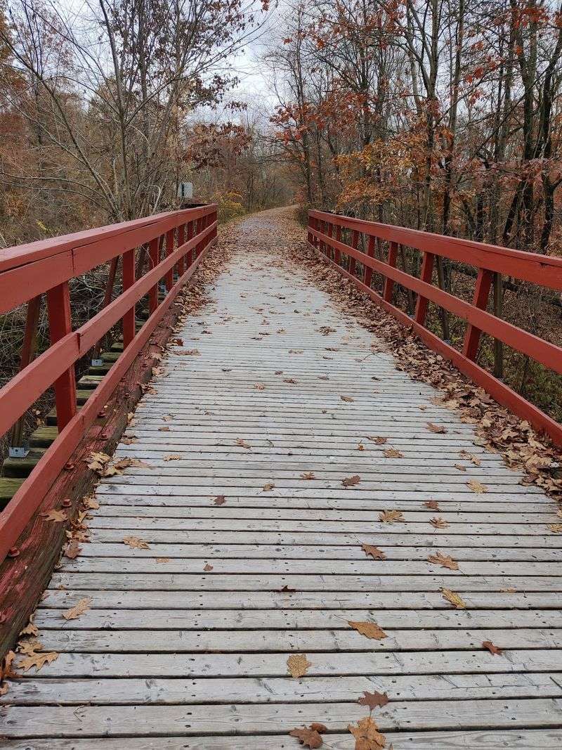
Sometimes a trail does not need to stretch across half the state to feel like a proper getaway. Near Cambridge, the Great Guernsey Trail offers roughly seven miles of paved travel along a former rail line, making it a practical choice for an unhurried afternoon.
The route runs between the Cambridge area and Lore City, with wooded sections and rural scenery along the way. Its manageable length gives cyclists an easy planning advantage.
Riding the full route and returning creates a longer outing without needing a complicated shuttle arrangement.
Walkers can enjoy the same corridor in smaller pieces. Pick an established access point, set a turnaround time, and let your pace follow the weather rather than a mileage goal.
A short walk can still provide plenty of fresh air and a welcome break from errands.
Pavement helps make the trail approachable for many bicycles, although leaves, fallen branches, and damp patches deserve attention after storms. Check local updates before leaving home.
A path that normally feels simple can require extra care when maintenance work or rough weather changes conditions.
Pack drinking water instead of counting on services appearing exactly when you need them. Restroom availability can vary by access point and season, so confirm those details if you are bringing children.
A small repair kit is also useful, even when your route stays fairly close to town.
There is a friendly, everyday quality to this trail that suits people who want outdoor time without turning it into a major expedition. Ride at a talking pace, stop when a bird catches your eye, and leave space for others to pass.
If you finish with energy left, explore Cambridge afterward rather than squeezing in unnecessary miles. A comfortable outing often becomes the one you are most likely to repeat on another free afternoon with friends or family.
3. Little Miami Scenic Trail: Follow the River for Miles
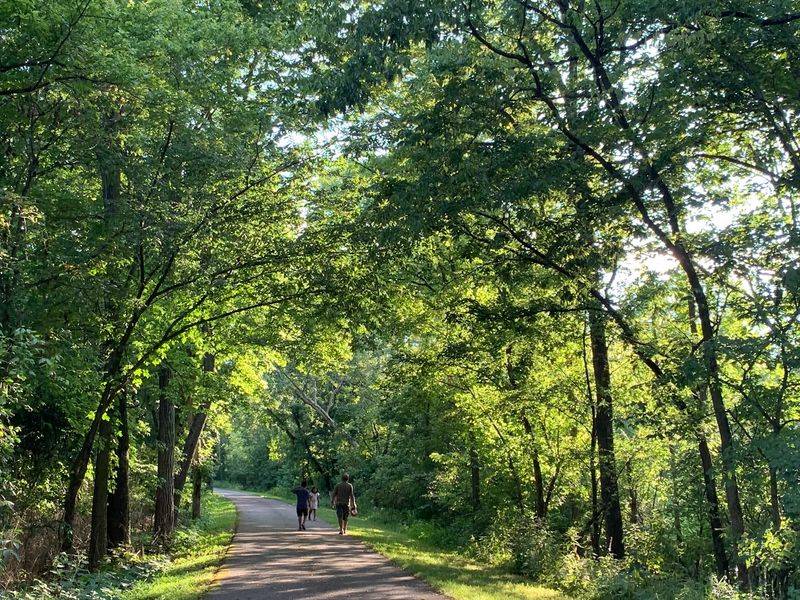
A river, a shady path, and towns spaced along the route give this outing the feel of a small vacation. The Little Miami Scenic Trail is one of Ohio’s best known rail trails, offering many miles of paved riding through southwestern Ohio.
Popular starting places include Loveland, Milford, and other communities along the corridor. Each creates a different kind of day, from a short walk near town to a long ride through quieter stretches.
Choose your access point around the distance and scenery you actually want.
Much of the appeal comes from the Little Miami River landscape, although the water is not visible around every bend. Trees often provide welcome shade, while bridges and openings offer changing views.
Listen for birds, but keep your eyes on the path when traffic increases.
Busy weekends call for patient riding, especially near restaurants, parking areas, and popular gathering spots. Families, runners, and faster cyclists share the same space.
Pass only when there is room, give a clear warning, and avoid stopping across the pavement to check your phone.
For a longer ride, build your plan around reliable stops rather than simply aiming for the largest number of miles. Some towns offer food and other services nearby, but hours vary.
Carry water, a snack, and basic bike tools even when the route appears well supplied.
Rain can leave debris or muddy patches near the corridor, and temporary closures sometimes affect travel. Review the current trail map before setting out and note the last practical turnaround point for your group.
Walkers should feel no pressure to match the trail’s grand scale. A gentle hour beneath the trees can be just as satisfying as a full cycling day, especially when you finish near a town where lunch and a comfortable chair are easy to find after your outing.
4. Holmes County Trail: Share the Path With Amish Country
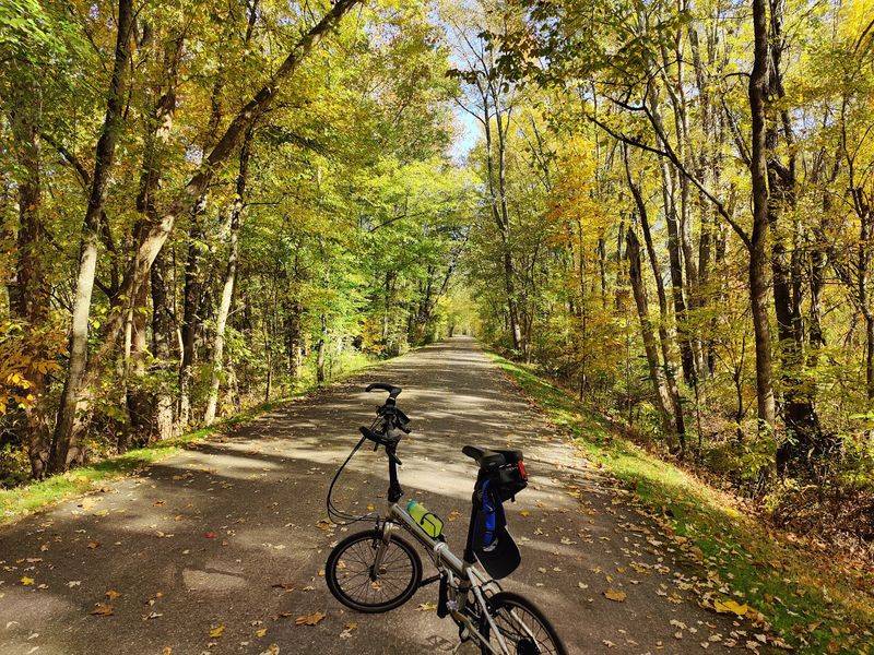
The sound of hoofbeats may become part of your afternoon here. Portions of the Holmes County Trail include separate lanes for recreational users and horse drawn vehicles, creating a distinctive travel corridor through Ohio’s Amish country.
Millersburg is a useful base for exploring the trail and the surrounding area. The route follows former railroad grades, offering easier travel than many nearby country roads.
Still, consult a current map because completed sections and connections should not be mistaken for one uninterrupted ride.
The shared setting is part of the attraction, but it also asks visitors to use good manners. Stay in the appropriate lane, give horses plenty of space, and avoid sudden noises when approaching a buggy.
Follow posted directions rather than treating the entire corridor as a cycling lane.
Farm views and wooded stretches make the journey feel rooted in everyday local life. You may see people using the trail for transportation as well as exercise.
Respect their space, and do not assume that every person or buggy you encounter welcomes a close photograph.
A town based walk can be a pleasant choice if you would rather enjoy the atmosphere than cover a large distance. Cyclists planning a longer trip should identify parking, services, and turnaround points in advance.
Nearby businesses may keep hours that differ from what visitors expect, particularly on Sundays.
Bring water and check the surface for debris, especially around crossings and areas used by horses. Slow down when visibility narrows, and make your passing intentions clear without startling anyone.
The best approach is curious but considerate: enjoy the fields, notice the different ways people move through the landscape, and let the route set a calmer pace. You will leave with more than exercise miles.
You will have seen a working part of Ohio where a former railroad serves several kinds of travel each day.
5. Camp Chase Trail: Find a Quieter Side of Columbus
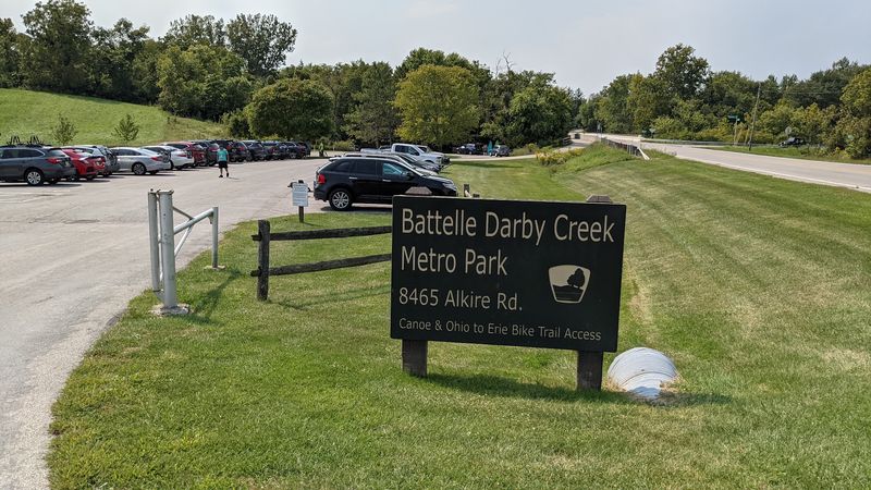
City outings can include more birdsong and fewer traffic lights than you might expect. The Camp Chase Trail gives western Franklin County a paved route for recreation and transportation, linking the Columbus area with communities toward Madison County.
As part of the Ohio to Erie Trail network, it can serve either a local afternoon plan or a piece of a much longer journey. That flexibility is useful, but it makes route checking worthwhile.
Connections, crossings, and nearby streets require more attention than a simple park loop.
Some stretches follow an active railroad corridor, so the setting differs from trails where trains have vanished completely. Remain on the designated path and never enter railroad property.
A passing train can be interesting to watch from a safe place, but tracks are not a photo location.
For walkers, an established neighborhood access point can turn a spare hour into a refreshing break. Choose a section away from your least favorite road crossings if quiet is the goal.
Cyclists can link several sections while allowing extra time for intersections and slower travel near other users.
The mix of developed areas and open surroundings means shade and services are not evenly spaced. Bring a bottle, wear sun protection, and confirm restroom options before starting.
A map saved on your phone helps when signs point toward a connection rather than your original parking area.
Think of this as a practical trail with room for discovery, not a wilderness escape. You may notice how neighborhoods, rail lines, and green corridors fit together on the edge of Columbus.
Use lights when visibility is low, obey crossing signals, and stay alert instead of relying on headphones. With a little planning, the route offers a satisfying way to stretch your legs while seeing familiar parts of central Ohio from a fresh and quieter angle during an ordinary afternoon.
6. Kokosing Gap Trail: Pedal Past a Railroad Landmark
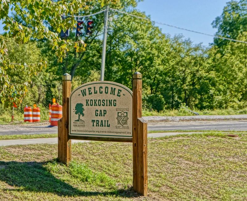
A retired steam locomotive makes a memorable trail stop, especially for anyone who loves the story behind an old rail line. On the Kokosing Gap Trail, the train display at Gambier adds a playful touch to a scenic ride through Knox County.
The paved route runs about fourteen miles between Mount Vernon and Danville, passing through Gambier and Howard. That length works well for a substantial ride without requiring a full day.
An out and back doubles the distance, so choose your turnaround with tired legs in mind.
Wooded sections, river crossings, and rural views keep the scenery changing. Former railroad grades help limit steep climbing, although wind and distance still affect effort.
Beginners can start with a shorter section instead of feeling they need to travel from one end to the other.
Gambier is a natural place to pause, with the railroad display offering a clear landmark and a chance to stretch. Follow any posted rules around the equipment.
The nearby village and Kenyon College setting give this stop a different feel from the trail’s more secluded stretches.
For a peaceful walk, enter from a designated parking area and head toward a shaded section. Keep your dog leashed if one joins you, and avoid blocking the path while taking pictures.
On pleasant weekends, the trail can attract a mix of walkers, families, and cyclists moving at different speeds.
Carry water and check which access points have restrooms available before leaving home. After rain, watch for slippery leaves on bridges or under thick tree cover.
Riders should bring basic tools because even a smooth path cannot prevent a puncture. What makes this trail especially enjoyable is the balance: enough distance for a real workout, enough scenery for frequent pauses, and enough railroad history to remind you why the route feels so easy to follow through the countryside today.
7. Mohican Valley Trail: Cross a Bridge of Dreams
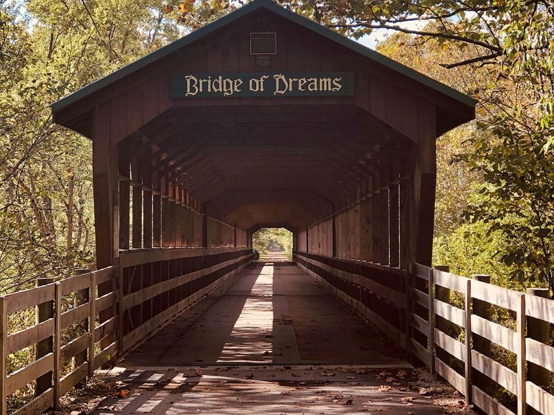
A long covered bridge can turn a simple walk into the highlight of the week. The Mohican Valley Trail leads across the Bridge of Dreams near Brinkhaven, where the former railroad crossing now offers a striking passage over the Mohican River.
The trail stretches roughly five miles between the Danville area and Brinkhaven. Its modest length makes it approachable for a relaxed ride, while connections with nearby trails can support a larger cycling plan.
Check the map carefully before adding distance beyond the main corridor.
The bridge is the star, but the approach deserves attention too. Rural surroundings and wooded views give the outing a slower mood than a city path.
Walkers can choose access near the bridge for a focused visit rather than trying to cover the entire route.
Expect mixed use, including the possibility of horse drawn traffic. Give horses room, avoid sudden movements, and follow posted guidance about where to travel.
Inside the covered bridge, changes in light can make it harder to spot other users, so reduce speed before entering.
Bring a camera, but step aside safely before taking pictures. Looking along the wooden structure creates a different view from looking out toward the river.
Never climb barriers or approach an edge just to improve a photograph; the designated crossing already provides plenty to enjoy.
Services are limited compared with trails that run through larger towns, so arrive with water and a snack. Confirm parking and restroom arrangements beforehand, and consider the return distance when choosing your starting point.
A breezy day can feel cooler near the river than in an open parking lot. The best visit leaves time to linger, listen, and notice the bridge’s shape rather than rushing straight through.
Whether your afternoon includes five miles or fifteen, this crossing gives the journey a landmark you are likely to remember long afterward.
8. Sippo Valley Trail: Enjoy the Backroad Feeling
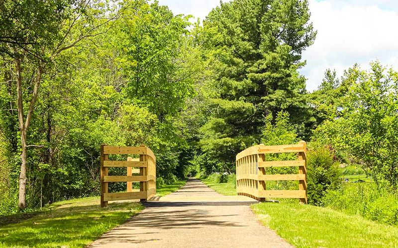
Leave the rush behind and settle into a route that feels closer to a country lane than a busy recreation hub. The Sippo Valley Trail connects Dalton and Massillon across roughly ten miles of northeastern Ohio countryside.
Its former railroad corridor passes wooded areas, farmland, and small community edges. The changing surroundings suit a steady ride with time to look around.
Walkers can use local access points for a shorter outing without needing to arrange transportation between the two ends.
Surface conditions matter here because the route includes crushed limestone as well as paved portions. A bicycle with moderately wide tires is generally a more comfortable choice than one built only for smooth roads.
After rain, softer spots may slow your pace or leave shoes muddy.
Check recent local trail information before setting out, especially if your plans depend on an easy rolling surface. Accessibility can vary with weather and the exact section you choose.
People using mobility devices or pushing strollers should confirm conditions rather than relying only on the trail’s gentle grade.
Dalton and Massillon provide useful anchors for planning, but do not assume food, water, or restrooms sit beside every stretch. Carry what you need and note your parking location.
If you connect toward other routes around Massillon, allow time to study signs and navigate changes in the corridor.
The appeal is wonderfully ordinary: trees moving in the breeze, fields opening beside the path, and a route that encourages conversation instead of competition. Ride slowly near walkers and be especially careful where loose material gathers along the edges.
For an afternoon walk, sturdy shoes can make uneven patches less distracting. Give yourself permission to turn back early if the ground feels wetter than expected.
A flexible plan lets the country setting remain the pleasure it should be, rather than becoming a test of endurance or equipment.
9. Slippery Elm Trail: Straightforward Miles Through Farm Country
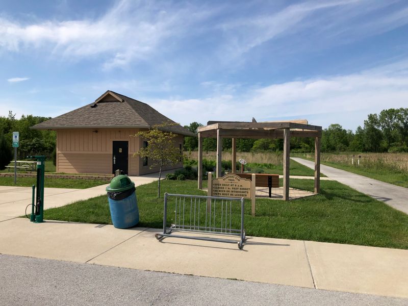
Big skies can make a bike ride feel wonderfully open, even when the path itself is easy to follow. The Slippery Elm Trail runs about thirteen miles between Bowling Green and North Baltimore, with Rudolph along the way.
Set in Wood County, the paved corridor crosses a landscape shaped by farms and small communities. The railroad grade keeps the route mostly level, which suits steady cycling and casual walking.
Without many hills to interrupt you, it is easy to find a comfortable pace.
That same open setting makes wind a real part of the experience. A friendly breeze behind you at the start can become a stubborn headwind on the return.
Check the forecast and consider beginning into the wind so the later miles are less demanding.
Bowling Green offers a convenient starting area for visitors who want to pair outdoor time with a meal in town. Other access points allow shorter walks or rides farther along the corridor.
Use designated parking and check the current map for restrooms rather than expecting facilities at every crossing.
Sun protection matters on exposed stretches, even when the temperature feels comfortable. Bring water and avoid measuring your needs only by how hard you expect to pedal.
A flat ride can still last several hours, especially if you pause often or travel with children.
There is no need to invent a complicated goal here. Pick a distance, watch the fields change, and enjoy a route whose simple layout leaves room for conversation.
Road crossings still require your full attention, so slow down and look carefully before proceeding. Walkers should keep to one side when bikes approach, while riders should give clear passing warnings.
On a calm afternoon, the trail’s combination of smooth pavement and wide views makes it a fine place to practice longer distances without adding the challenge of repeated steep climbs.
10. Ohio & Erie Canal Towpath Trail: Walk Through Canal History
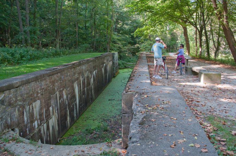
Before bicycles arrived, mules helped move boats along this historic corridor. The Ohio & Erie Canal Towpath Trail follows the old canal route, making it a close companion to Ohio’s rail trails rather than a railroad conversion itself.
Its long north to south course offers many choices for walking and cycling, including popular sections through Cuyahoga Valley National Park. Canal remains, wooded landscapes, and nearby communities give the route a strong sense of place.
You can enjoy history without spending the afternoon inside a museum.
Do not treat the entire Towpath as one identical surface. Many sections use crushed stone, while others are paved, and weather can affect how easily they roll.
Check conditions for your specific destination, especially after heavy rain or when using narrow tires, a stroller, or mobility equipment.
Historic locks and visitor areas make useful targets for shorter outings. Choose one or two landmarks and allow time to read signs or watch wildlife.
The trail is long enough to reward ambitious riders, but a small section can offer a complete and satisfying afternoon.
Popular access points may become crowded on mild weekends. Arrive earlier if you want easier parking, and slow near gathering spots where people step on and off the path.
Keep stops clear of through traffic, particularly when your group gathers around a map or takes photographs.
Carry water, check restroom locations, and review alerts from the agency managing your chosen section. Flooding, repairs, and seasonal changes can affect access.
For longer cycling days, plan your turnaround around both distance and surface, since crushed stone may take more effort than pavement. What stays with many visitors is the quiet link between past and present: an old transport route still guiding people through Ohio, now at a pace that leaves room for birds, trees, and a closer look at the water beside the path.
11. Simon Kenton Trail: Let Small Town Stops Shape the Day
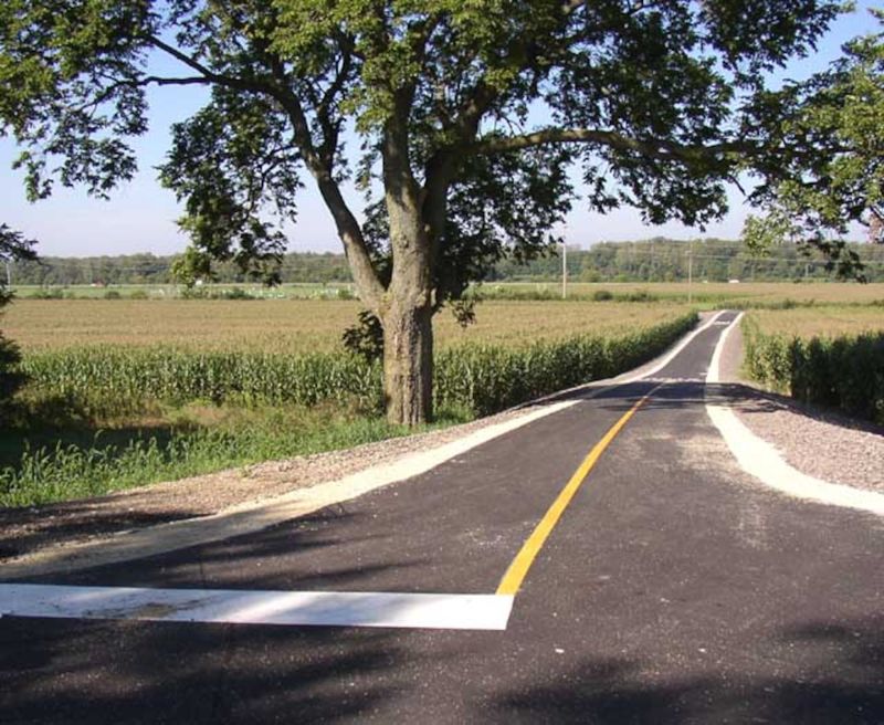
A good ride sometimes begins with choosing where you want to stop for lunch. The Simon Kenton Trail connects the Springfield, Urbana, and Bellefontaine areas, giving cyclists a corridor where small town visits can become part of the day’s plan.
The route covers roughly thirty miles, though surfaces differ between sections. Southern portions are paved, while the northern extension includes crushed stone.
Look closely at the current map so your bicycle, time estimate, and comfort expectations match the part you intend to explore.
Urbana makes a useful center for a shorter outing or a longer ride in either direction. Starting near town can simplify plans for food and a break afterward.
Confirm designated trail parking first, since a convenient looking business lot may not be available for trail users.
Former railroad grades make much of the travel gradual, but the distance still deserves respect. Newer riders can pick a modest turnaround point and build up on later visits.
Walkers may prefer a nearby section with shade rather than aiming for the next town.
Fields, trees, and community edges provide a changing backdrop without demanding constant sightseeing stops. On open stretches, watch the wind and bring sun protection.
On crushed stone, reduce speed around loose spots and allow extra time after wet weather, when rolling conditions may become more difficult.
The trail’s length invites ambitious plans, but a relaxed approach often works better. Carry water, snacks, and repair supplies, then treat any cafe stop as a bonus rather than your only source of fuel.
Check alerts before departure and keep track of how far you have traveled from the car. With sensible pacing, the corridor offers both practical exercise and the pleasure of arriving somewhere under your own power, then turning around with a fresh view of the same Ohio landscape as the afternoon light begins to change.
12. Hockhocking Adena Bikeway: Ride Between Campus and Woodland
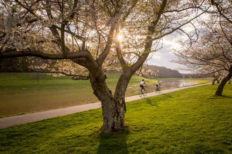
College town energy gradually gives way to quieter scenery along this southeastern Ohio favorite. The Hockhocking Adena Bikeway connects Athens and Nelsonville, offering roughly twenty miles of paved travel through the Hocking River valley.
Near Athens, the route serves everyday trips as well as recreation, with access to the Ohio University area and local destinations. Farther along, wooded stretches and river valley views create a more tucked away feeling.
That contrast keeps a longer ride interesting without requiring difficult climbing.
Athens is a convenient place to begin if you want food and other services before or after your outing. Nelsonville offers another useful anchor at the opposite end.
Choose your start based on parking and intended mileage rather than assuming a full ride between towns is necessary.
Walkers can enjoy short sections near town or head toward quieter areas from designated access points. Cyclists should expect a mix of students, runners, families, and people traveling at different speeds.
Slow down where the path becomes busy, and make passing polite rather than hurried.
The name reflects the region’s Native history, adding another layer to a landscape often associated with college life and forested hills. Let that history encourage curiosity, but rely on local interpretive sources for details.
The trail itself provides a welcoming route for seeing how communities fit within the valley.
Water, snacks, and a basic repair kit belong in your bag for longer rides. Review current trail notices after storms, and watch for leaves or debris in shaded areas.
Summer humidity can make even an easy grade feel tiring, so plan breaks before you need them. An out and back lets you control the distance, while a one way trip requires arranged transportation.
Either approach leaves room for the simple pleasure of following a smooth path through a part of Ohio where hills frame the view rather than dominate the ride.
13. Blackhand Gorge Trail: Take the Scenic Route Slowly
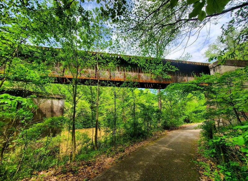
Rock walls and river scenery give this short route a bigger personality than its mileage suggests. At Blackhand Gorge State Nature Preserve near Toboso, a paved former railroad corridor travels through a striking section of the Licking River landscape.
The main paved trail is about four miles long, making it better suited to a scenic outing than an all day cycling challenge. Riders wanting more distance can enjoy an out and back.
Walkers have plenty of reason to move slowly and notice the gorge around them.
Sandstone formations, wooded slopes, and reminders of earlier transportation routes make the setting especially interesting. The gorge has a layered history involving canal and railroad travel.
Stay with official signs and designated paths when exploring that story rather than entering closed areas or old structures.
Bicycle access applies to the designated paved trail, not every hiking path in the preserve. Check posted rules before leaving the main corridor.
Pets are not permitted in Ohio state nature preserves, so plan this visit without your dog and verify current visitor guidance before departure.
Shade can help on a warm day, but damp leaves and slick patches may remain where sunlight is limited. Wear shoes with reliable grip, and ride cautiously around bends.
After strong storms or high water, check for closures instead of assuming the gorge is ready for normal travel.
Bring drinking water and treat the preserve as a place to enjoy carefully, not a playground for climbing rock faces. A short route can still fill an afternoon when you pause to watch the river, study the cliffs, or listen to birds.
Arrive with modest mileage expectations and a willingness to linger. The reward is a concentrated dose of Ohio scenery, where an old transportation corridor now gives visitors a comfortable way to enter a landscape that feels far removed from everyday roads and errands.
14. North Coast Inland Trail: Build Your Own Northern Ohio Ride
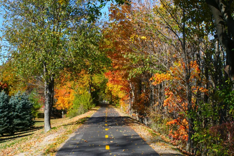
Think of this route as a collection of possibilities rather than one simple line on a map. The North Coast Inland Trail includes developed sections across northern Ohio, offering rides through communities, farmland, and quieter stretches of former railroad corridor.
Areas around places such as Elyria, Oberlin, Norwalk, Bellevue, Fremont, and farther west provide different starting options. The wider trail vision links many communities, but gaps remain.
Do not assume every named section connects by an uninterrupted path suitable for a casual family ride.
That patchwork can actually help with planning when you choose one completed section and explore it well. Find a designated trailhead, check the surface, and identify a sensible turnaround.
A focused outing is often more enjoyable than trying to solve unfamiliar road connections while everyone grows tired.
Many stretches offer relatively level travel, with open farm views balanced by tree lined portions. Wind can matter more than hills, especially during longer rides across exposed countryside.
Check its direction before setting your distance, and carry enough water for sections without nearby services.
Town access points make it possible to pair exercise with lunch or a short look around local streets. Walkers can stay close to those starting areas or seek a quieter rural segment.
Review parking and restroom information from the organization responsible for that particular section, since management varies along the corridor.
For ambitious cyclists, the trail rewards careful homework. Download maps, separate dedicated path miles from road travel, and check recent closure notices before leaving.
For everyone else, there is no need to complete a grand route to enjoy the experience. Pick a welcoming stretch, ride or walk at your own speed, and watch northern Ohio pass in fields, rooftops, and trees.
The freedom to shape the afternoon around your own comfort is what makes this evolving trail network such a useful choice for repeat visits throughout the year.
Share this story