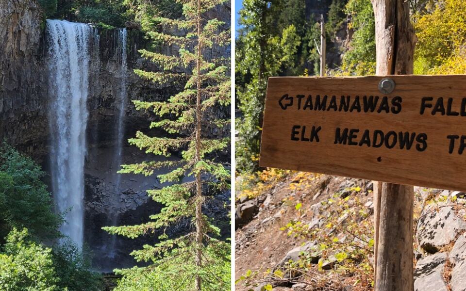
Some hikes ask for steep climbs, early alarms, and a sore back the next morning. This one mostly asks for a pair of decent shoes and a free afternoon on the east side of Mount Hood. The path follows a creek through the forest, stays mellow for most of the way, and ends at a wide curtain of water pouring over a rock ledge.
It is the kind of place Oregon families return to year after year, partly because it feels like a shared tradition. Ahead are the trail’s name and location, how it unfolds step by step, what makes the finale special, who it suits best, and the practical details that help a visit go smoothly. Keep reading, because the payoff at the end is worth every one of those easy steps.
A Trail Number Worth Remembering
Every great outing starts with a name, and this one comes with a number attached: Tamanawas Falls Trail #650A.
The trail is listed at Oregon 97041, USA, on the eastern flank of Mount Hood in the state of Oregon. That ZIP code covers the Mount Hood area along the Hood River side of the mountain.
The route is a well-loved hike that follows a creek through forest and finishes at Tamanawas Falls. The one-way distance in the headline is about 1.5 miles, which makes for roughly a three-mile round trip.
That number matters for planning. It is long enough to feel like a real outing and short enough to fit into a half day.
The trail sits inside national forest land, so it is managed as public space rather than a private attraction. That status is part of why it has stayed a familiar stop for Oregon hikers across generations.
Write the number down, save the location in a map app, and the rest of the plan starts to fall into place.
The Story Inside the Name
Names on Oregon maps often carry history, and Tamanawas is no exception.
The word comes from Chinook Jargon, the trade language used across the Pacific Northwest. It is generally linked to the idea of a spiritual guardian or friendly spirit.
That background gives the hike a quiet layer of meaning. The waterfall has carried this name for a long time, and it connects the trail to the people who knew this land long before signposts arrived.
Plenty of hikers walk the path without ever thinking about the name. Knowing it adds a little depth to the trip, the way a good backstory makes a familiar movie better.
It also serves as a reminder that places like this are shared. Respecting the trail, packing out trash, and staying on the path help keep it in good shape for the next group.
Mount Hood’s Quieter East Side
Most Mount Hood traffic heads toward the ski lodges and the busier western approach. The east side tends to feel calmer.
The trail sits off Oregon Highway 35, the road that connects the Mount Hood area with the Hood River Valley. That makes it a handy stop for anyone driving between the mountain and the orchards to the north.
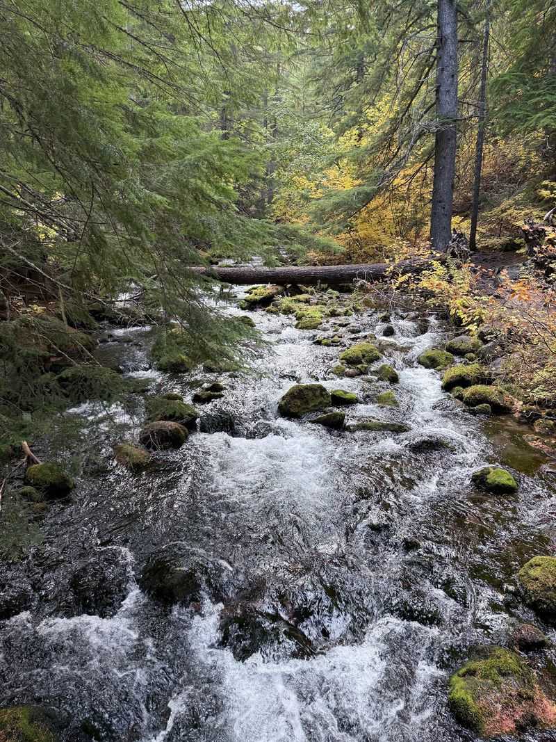
The setting is classic Cascade forest. Tall conifers, a rushing creek, and rocky slopes frame much of the walk.
Because the hike is short, it pairs easily with other plans in the region. A morning on the trail can lead into an afternoon exploring Hood River or the scenic loop around the mountain.
That flexibility is a big part of the appeal. The trail does not demand a whole weekend, yet it delivers the feeling of a real mountain escape.
Crossing Over to Cold Spring Creek
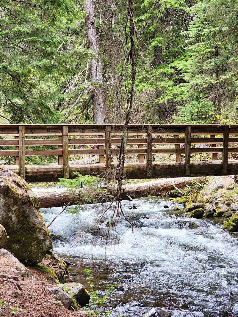
First things first: the hike opens with a bridge.
Right near the start, a footbridge carries hikers across the East Fork of the Hood River. It is a fun little kickoff that signals the outing has officially begun.
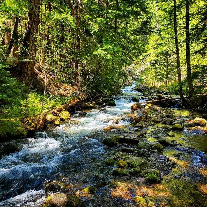
After the crossing, the trail joins up with Cold Spring Creek. That creek becomes the main companion for the rest of the route.
The path follows the water upstream toward the falls. The creek stays close for long stretches, which keeps the walk interesting without any big climbs.
Kids tend to love this part. A bridge, a creek, and a clear destination ahead turn a simple hike into something that feels like a mini adventure.
Keep an eye on footing near the water. Rocks along creek edges can be slick, especially after rain or snowmelt.
Gentle Grades, Honest Effort
Flat is a relative word on a mountain, so here is the honest version.
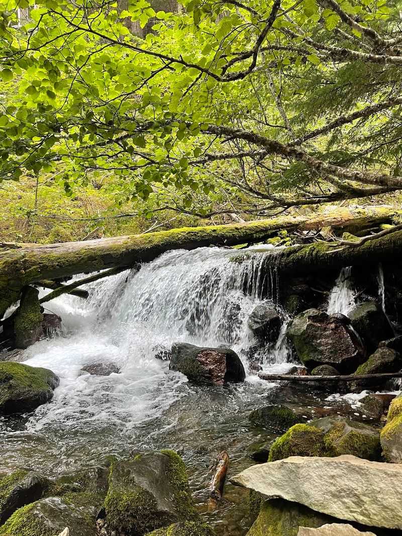
Most of the route follows the creek with modest elevation gain. It rises a few hundred feet over the course of the walk, which is easy for most active people.
There are short rocky sections, and some spots ask for a bit more attention. Nothing about it requires technical skills or climbing gear.
Families, casual walkers, and people easing back into hiking often find it a comfortable fit. Seasoned hikers like it too, as a quick leg stretch with a strong finish.
Plan for a relaxed pace of around two hours round trip, including time at the falls. Faster groups can do it in less, but rushing defeats the purpose.
It is a trail that rewards strolling more than sprinting.
The Grand Finale at the Ledge
Saving the best for last is the whole strategy here.
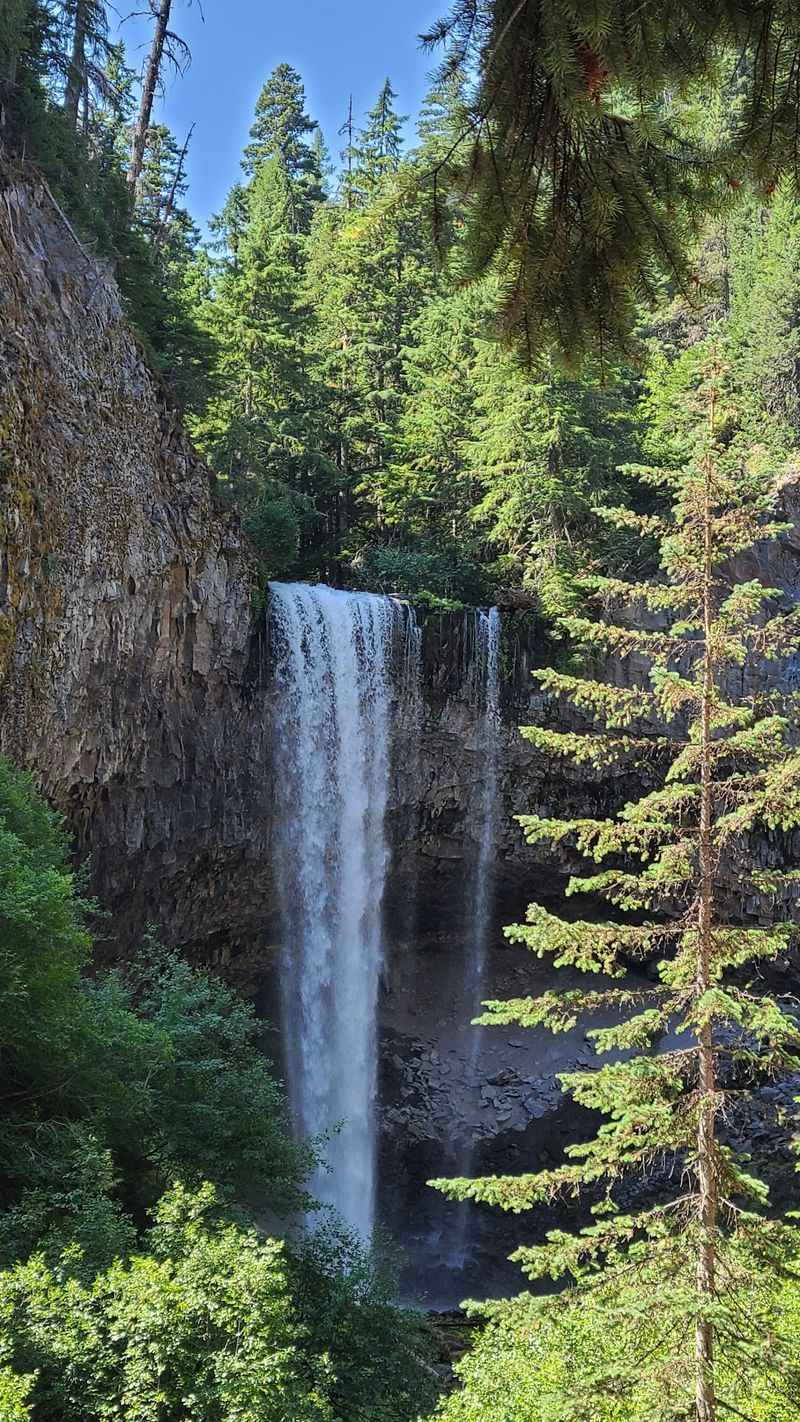
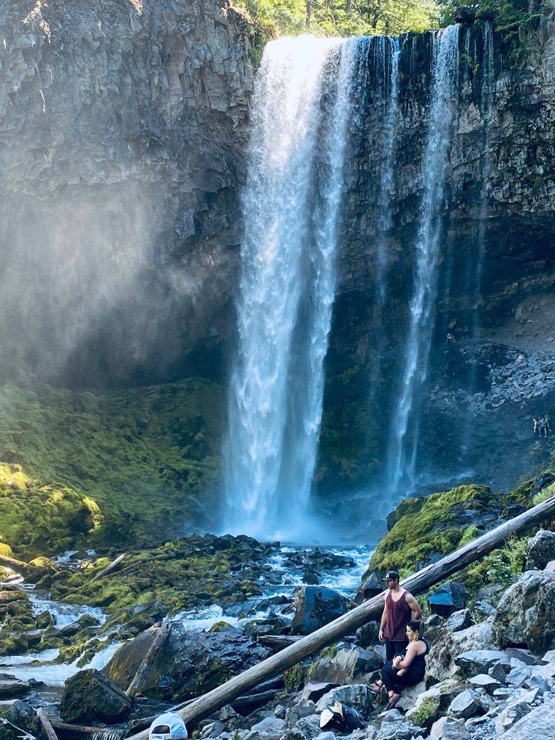
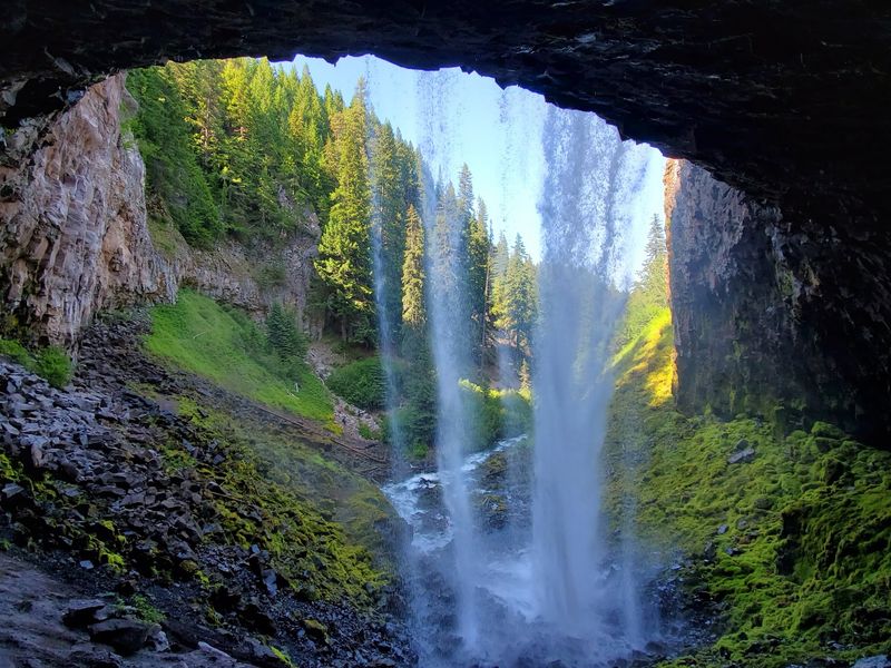
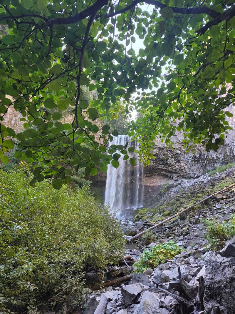
Tamanawas Falls drops roughly 100 feet over a wide basalt ledge. It is broad rather than skinny, so the water spreads out like a curtain across the rock.
The falls lands in a rocky area below, surrounded by forest and boulders. Hikers often linger here longer than planned.
Many people consider it one of the most impressive waterfalls on the Mount Hood side of the state. For such a short hike, the reward feels a little unfair to longer trails.
Bring a camera or phone with room for photos. Most people take far more pictures here than anywhere else on the route.
It is the kind of finish that sticks with people long after the drive home.
Behind the Curtain of Water
Here is a fun bonus that many first-timers do not expect.
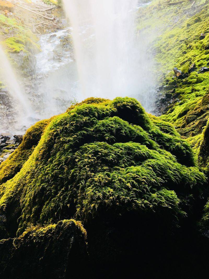
A shallow recess sits behind Tamanawas Falls. In some conditions, hikers carefully scramble up for a view from behind the falling water.
That spot is rocky and often wet. Good shoes and caution are a must, and it is fine to skip it entirely.
Spray from the falls can reach a fair distance. A light rain jacket helps keep gear and clothing drier near the base.
For families, admiring from the main viewing area works perfectly well. The falls looks great from the trail’s end without any extra climbing.
Treat the back of the falls as optional extra credit, not the main assignment.
Seasons That Change the Show
The same waterfall can feel like a different place depending on the month.
Late spring and early summer bring stronger flow from snowmelt. The falls tends to look its fullest during that stretch.
Summer and early fall are popular for comfortable hiking conditions. The trail is usually clear, and the creek stays lively.
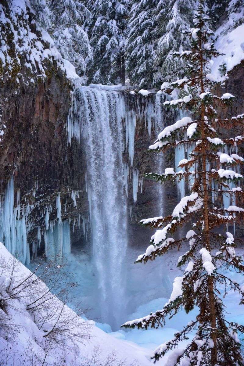
Winter is a different story. Snow and ice can cover the route, and the falls sometimes partly freezes, which draws photographers and snowshoers.
Winter conditions call for traction devices and extra care. Road conditions on Highway 35 can also change quickly in cold weather.
Checking current conditions before leaving home is the smartest move any time of year.
Who Will Love This Walk
Few trails please this many types of people at once.
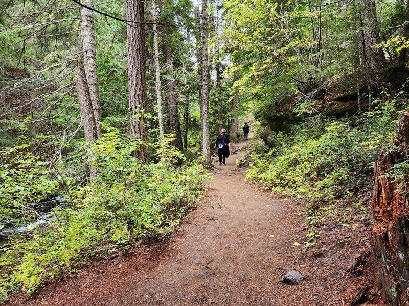
Families with school-age kids get a manageable distance and a clear goal. The creek and bridge keep young hikers busy along the way.
Photographers get a dramatic subject without hauling gear up a steep climb. Couples get a relaxed outing with an easy conversation pace.
Visitors from out of state get a taste of Mount Hood without committing to a full-day trek. Locals get a dependable favorite they can share with guests.
Dogs are commonly seen on national forest trails like this one, though leashes keep everyone happier on a narrow, busy path.
The common thread is simple. Almost anyone in reasonable shape can reach the falls and feel like they earned it.
Getting There and Parking
Directions are refreshingly simple.
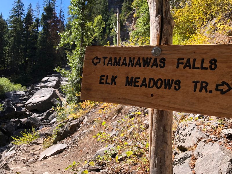
The trailhead sits along Oregon Highway 35 on the east side of Mount Hood. It is reachable from Hood River to the north or from the Government Camp area to the west and south.
Parking is in a roadside lot near the trail’s start. The lot can fill up on sunny weekends, so earlier arrivals have an easier time.
Areas like this in Mount Hood National Forest may require a recreation pass for parking. Fees and pass rules can change, so confirm current requirements with the U.S. Forest Service before the trip.
Cell service may be spotty in parts of the mountain. Downloading a map ahead of time saves headaches later.
A little planning at the start means more time enjoying the falls at the end.
Smart Packing for a Short Hike
Short does not mean careless, and a few basics make the day better.
Sturdy shoes with good grip help on rocky and damp sections. Sandals and slick soles are not the best match near the falls.
Water is a must, even for a three-mile walk. A small snack keeps kids and adults cheerful for the return trip.
Layers matter on the mountain. Weather can shift quickly, and a light rain shell handles both showers and waterfall spray.
A trash bag for packing out wrappers helps protect the trail. Keeping beloved places clean is one way Oregonians make sure they stay open and enjoyable.
In colder months, add traction devices and warm layers to the list.
A Low-Cost Oregon Classic Worth Keeping
Some of the best Oregon days cost little more than gas and a parking pass.
Tamanawas Falls Trail #650A proves it. A creekside walk, a bridge, modest effort, and a broad waterfall add up to a memorable outing at a budget-friendly price.
It also fits easily into a bigger day around Mount Hood or Hood River. That makes it a practical choice when budgets and schedules are tight.
Places like this stay great because people care for them. Staying on the trail and packing out trash keeps this familiar favorite ready for the next generation.
Go once, and the falls has a way of turning into an annual habit.
Share this story