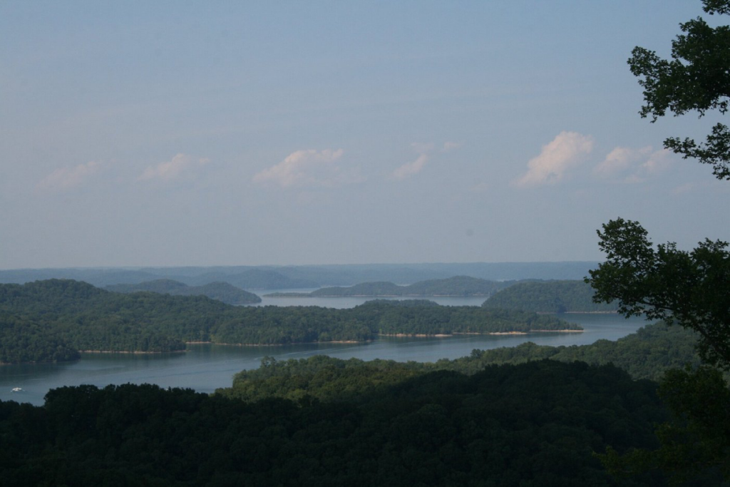
Summer in Tennessee usually means packed boat ramps, buzzing marinas, and crystal-clear water lapping against familiar shorelines. But this year, many of the state’s favorite reservoirs are telling a different story.
From the Smoky Mountain foothills to the rolling hills around Nashville, popular lakes are sitting well below their normal summer levels, exposing mudflats, rocky coves, and docks that now dangle above the waterline.
1. Douglas Lake
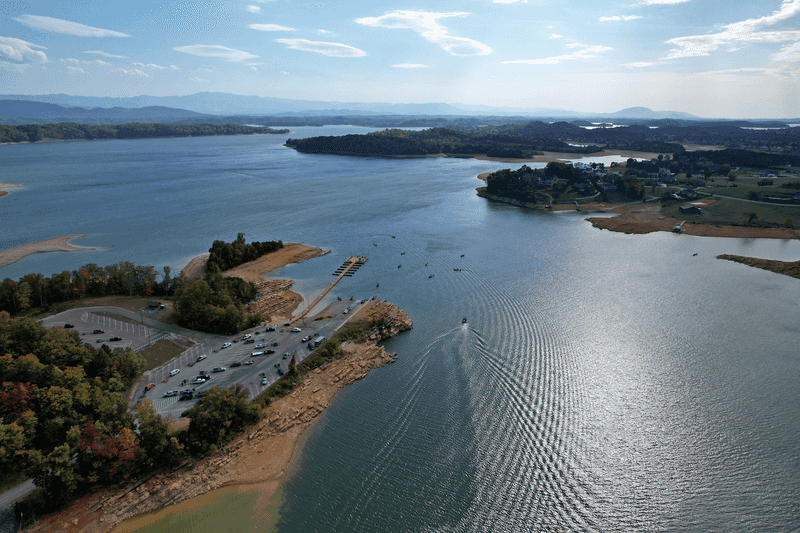
Douglas Lake has always been that workhorse reservoir everyone in East Tennessee knows by name. Stretching across parts of Sevier, Jefferson, and Cocke counties, it’s fed by the French Broad River and managed by the Tennessee Valley Authority. Fishermen chase striped bass and crappie here year-round, while families tow pontoons and ski boats to sandy coves on holiday weekends.
But this summer, the usual buzz at the boat ramps comes with a side of concern.
TVA reports show Douglas sitting well below its target elevation throughout the spring and into early summer. That’s not just a number on a chart. It means shoreline you’ve never seen before, gravel bars popping up in the middle of channels, and marina slips that suddenly look a lot shallower.
If you’ve been putting your boat in at the same ramp for years, you might need to scout a new lane or risk scraping your trailer on rocks that weren’t there last season.
The drop isn’t random. East Tennessee has been dealing with a stubborn dry pattern that started last fall and stretched into spring. Rainfall totals came in below average month after month, and the reservoirs that depend on consistent upstream flow felt it fast.
Douglas is one of the older TVA lakes, built back in the 1940s, and it’s always been sensitive to drought because of how much water gets pulled downstream to support other reservoirs and power generation.
For boaters, the advice is simple: slow down and pay attention. Hazards that were safely submerged a year ago might now be waiting just under the surface. Check updated lake maps, talk to marina staff, and don’t assume your favorite cove is deep enough just because it was last July.
Fishermen might actually benefit from the lower levels, since structure like submerged trees and rock piles become easier to target. But everyone needs to adjust expectations.
Douglas Lake isn’t going dry anytime soon, but it’s a visible reminder that even big reservoirs can shift fast when the rain doesn’t come. If you’re planning a trip this summer, call ahead to confirm ramp conditions and dock availability. The lake is still beautiful and fishable, but it’s wearing a different face this year.
Pack patience along with your cooler, and you’ll still have a great day on the water.
2. Cherokee Lake
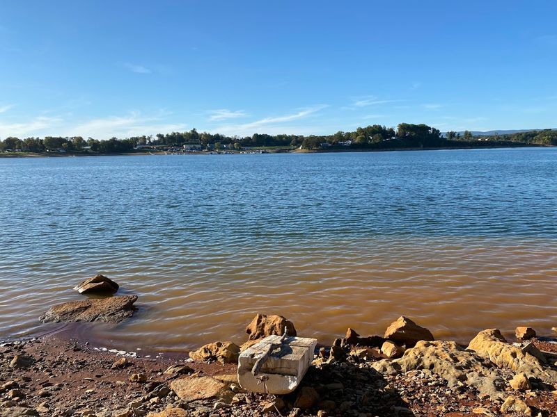
Cherokee Lake sprawls across the counties of Grainger, Hamblen, Hawkins, and Jefferson, fed by the Holston River and held back by a TVA dam near Jefferson City. It’s one of those lakes that doesn’t get quite as much tourist hype as Norris or Douglas, but locals know it as a serious fishing destination and a quiet escape for camping and paddling.
Largemouth bass, catfish, and sauger keep anglers coming back, and the wooded coves offer plenty of spots to drop anchor and float the afternoon away.
But Cherokee has been trending in the wrong direction this year. TVA data shows the lake sitting below its target elevation through much of the spring, with water levels dipping lower than they should be for this time of year. That’s a problem for boaters who rely on deeper channels and for campgrounds that depend on shoreline access.
What was once a gentle slope down to the water might now be a long, muddy walk across exposed lakebed.
The culprit is the same drought pattern hitting much of East Tennessee. Cherokee’s watershed didn’t get the winter and spring rains it needed to recharge, and TVA has been managing releases carefully to balance power generation, downstream needs, and recreation. That means Cherokee often takes the hit when tough choices have to be made.
It’s a working reservoir, not a playground first, and that reality shows up fast during dry years.
If you’re planning to visit Cherokee this summer, check the TVA lake levels website before you hitch up the trailer. Some boat ramps may be unusable or require four-wheel drive to reach the water. Marinas might have moved their docks or closed certain slips entirely.
And if you’re renting a cabin or camping near the shore, don’t expect the waterline to be where it was in photos from previous summers.
The good news is that Cherokee’s fish populations are healthy, and the lower water can actually concentrate them in predictable areas. Creek channels, old roadbeds, and rocky points become easier to find and target. Just bring a detailed map and keep your eyes open for new hazards.
Cherokee Lake is still worth the drive, but it’s going to look and feel different this year. Adjust your plans, respect the conditions, and you’ll still find plenty of reasons to love this underrated East Tennessee gem.
3. Norris Lake
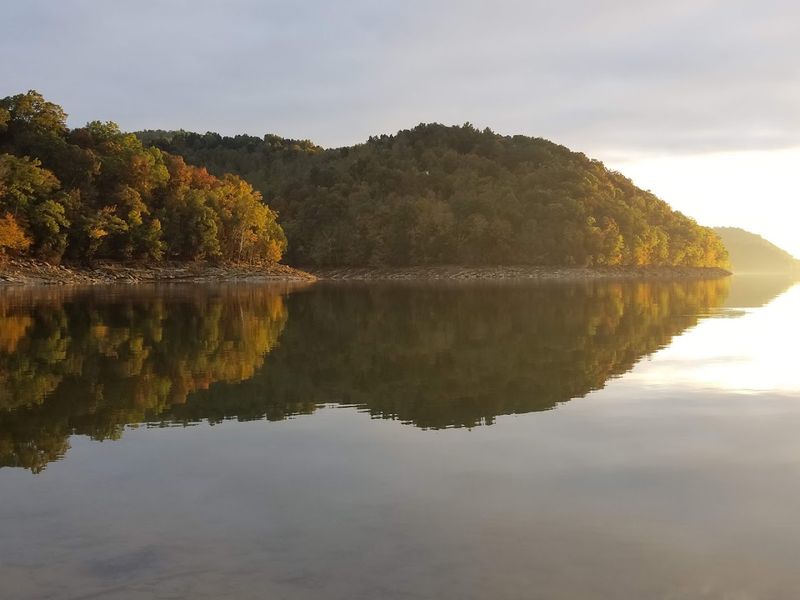
Norris Lake is the crown jewel of East Tennessee’s reservoir system. Built in 1936 as the first major TVA project, it’s famous for its gin-clear water, towering limestone cliffs, and endless coves that feel more like a mountain retreat than a man-made lake. Houseboats, wakeboard boats, and kayaks share the water here, and the marinas stay busy from Memorial Day through Labor Day.
It’s the kind of place where families book the same houseboat week every summer and wouldn’t dream of going anywhere else.
So when Norris shows up on the list of lakes running below target levels, people notice. TVA reports confirm that Norris has been sitting lower than desired through much of the spring and early summer, a direct result of reduced rainfall across its watershed. The Clinch and Powell rivers feed Norris, and both have been running thin.
That means less water coming in, and TVA has had to carefully manage outflows to avoid dropping the lake even further.
For houseboat renters, the lower levels mean some coves that were deep enough last year might now be too shallow to anchor safely. Marina operators have been shifting dock configurations and warning boaters to stick to marked channels. If you’re used to cruising into a favorite cove without a second thought, this is the year to slow down and use your depth finder.
Rocks and submerged trees that were safely hidden at normal pool are now lurking just under the surface.
The good news is that Norris is still one of the cleanest, most beautiful lakes in the state. The water clarity hasn’t changed, and the scenery is just as dramatic. But the shoreline looks different.
You’ll see more exposed rock, more beach, and more of the old creek beds that were flooded decades ago. For history buffs and photographers, it’s actually a rare chance to see features that are usually underwater.
Fishermen targeting smallmouth bass, walleye, and striped bass should find the bite just fine. Lower water often pushes fish into predictable holding spots, and Norris has plenty of deep channels and structure to keep them comfortable. Just be ready to adjust your launch plans and double-check ramp conditions before you leave home.
Norris Lake isn’t going anywhere, but this summer it’s showing a side of itself that most visitors haven’t seen in years. Respect the conditions, plan ahead, and you’ll still have an unforgettable trip on one of Tennessee’s most iconic lakes.
4. Boone Lake
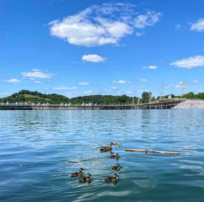
Boone Lake sits tucked into the northeastern corner of Tennessee, straddling Sullivan and Washington counties. It’s smaller and quieter than some of the state’s big-name reservoirs, but that’s exactly why locals love it. Managed by TVA and fed by the South Fork Holston River, Boone offers great crappie and bass fishing, easy paddling, and a laid-back vibe that feels worlds away from the crowds at bigger lakes.
The surrounding ridges and farmland give it a distinctly Appalachian feel, and the sunsets over the water are nothing short of stunning.
But Boone has been struggling this year. TVA updates describe the lake as sitting below normal elevation for the season, with water levels that need above-normal rainfall to reach summer pool. That’s a polite way of saying it’s low, and it’s likely to stay that way unless the weather pattern shifts.
For a lake that’s already on the smaller side, every foot of elevation matters. Boat ramps that were easy to use in past summers might now require backing your trailer down an extra twenty feet of exposed gravel.
The drought pattern hitting East Tennessee didn’t spare Boone. The South Fork Holston watershed has been dry, and TVA has had to balance water releases for downstream needs with keeping enough in the lake for recreation and fish habitat. Boone often gets less attention than bigger lakes, which can mean it gets less water when tough choices have to be made.
That’s frustrating for the anglers and boaters who consider it their home lake.
If you’re planning a trip to Boone this summer, call ahead to the marinas and ask about current conditions. Some docks may be closed or relocated, and certain coves that are usually navigable might now be too shallow. The good news is that Boone’s fish populations remain healthy, and the lower water can actually make them easier to locate.
Creek channels, points, and old roadbeds that are usually hard to find become obvious when the water drops.
Boone Lake might not have the name recognition of Norris or Cherokee, but it’s a gem for anyone who values peace and quiet over jet skis and party barges. This summer, it’s asking visitors to be a little more patient and a lot more careful. Bring a good map, watch your depth finder, and respect the fact that this lake is working hard to stay healthy under tough conditions.
It’s still a beautiful place to spend a day, but it’s going to take some extra planning to make it happen.
5. J. Percy Priest Lake
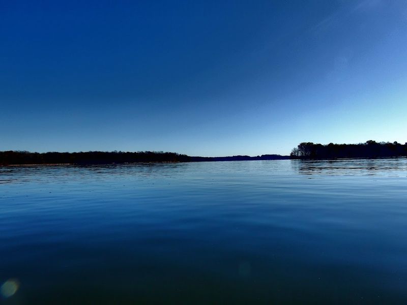
J. Percy Priest Lake is Middle Tennessee’s busiest playground. Just minutes from downtown Nashville, it’s the go-to spot for everyone from downtown kayakers to Rutherford County bass tournament pros.
Managed by the U.S. Army Corps of Engineers and fed by the Stones River, Percy Priest covers more than 14,000 acres when it’s at full pool. Marinas, campgrounds, and public boat ramps ring the shoreline, and on summer weekends the lake hums with jet skis, sailboats, and pontoons loaded with coolers and inflatables.
But this spring, Percy Priest made headlines for the wrong reasons. Corps of Engineers reports showed the lake sitting below historical mid-April medians, a direct result of the drought pattern that gripped Middle Tennessee through the winter and into spring. Rainfall totals came in well below average, and the Stones River didn’t deliver the flow the lake needed to recharge.
For a reservoir that serves flood control, water supply, and recreation all at once, low levels create a complicated balancing act.
The impact was visible fast. Boat ramps that are usually easy to navigate required extra care, and some smaller access points became unusable entirely. Marinas shifted docks and warned boaters to stay in marked channels.
Shoreline parks that normally sit right at the water’s edge suddenly had long stretches of exposed mud and rock between the grass and the lake. For the thousands of people who use Percy Priest every week, the change was hard to miss.
The good news is that the Corps has been managing releases carefully to keep the lake as functional as possible. Percy Priest won’t go dry, but it’s not going to look or feel like a normal summer either. If you’re planning a trip, check the Corps website for current lake levels and ramp conditions before you leave home.
Some areas that were easy to access last year might now require a longer walk or a different launch point entirely.
Fishermen targeting largemouth bass, crappie, and catfish should still find plenty of action. Lower water often concentrates fish around key structure like creek channels, bridges, and rocky points, making them easier to locate and catch. Just be ready to adjust your approach and keep an eye on your depth finder.
Percy Priest is still one of the best urban lakes in the South, but this summer it’s asking for a little more patience and a lot more awareness. Plan ahead, respect the conditions, and you’ll still have a great day on the water just minutes from Music City.
6. Center Hill Lake
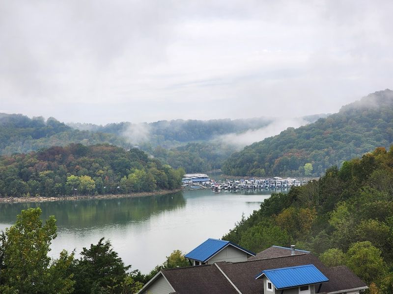
Center Hill Lake is one of those places that feels like a secret, even though it’s been a Tennessee favorite for decades. Tucked into the hills of DeKalb, Putnam, and White counties, it’s fed by the Caney Fork River and managed by the U.S. Army Corps of Engineers.
The lake is famous for its deep, clear water, towering rock bluffs, and hidden waterfalls that spill over limestone ledges after a good rain. Houseboats, cabin rentals, and weekend camping trips keep the marinas and campgrounds busy all summer long.
But this year, Center Hill is showing the strain of a prolonged dry spell. Corps reporting listed it among reservoirs sitting below historical mid-April medians, and the trend hasn’t improved much heading into summer. The Caney Fork watershed didn’t get the rainfall it needed, and the lake has been slow to recharge.
For a reservoir that’s already known for dramatic water level fluctuations, this year’s drop is more pronounced than usual.
The lower levels mean some of the lake’s most iconic features look different. Rock bluffs that are usually half-submerged now tower fully above the waterline, revealing layers of limestone and fossil beds that are normally hidden. Waterfalls that were once accessible by boat might now require a hike down exposed shoreline.
It’s beautiful in its own way, but it’s not the Center Hill most visitors remember from past summers.
For boaters, the lower water requires extra caution. Channels that were easy to navigate at normal pool might now have hidden hazards just under the surface. Marinas have been adjusting dock configurations and warning customers to stick to marked routes.
If you’re renting a houseboat or planning a multi-day trip, call ahead and ask about current conditions. The last thing you want is to get stuck in a cove that’s too shallow to navigate safely.
Fishermen chasing smallmouth bass, walleye, and musky should still find plenty of opportunities. Center Hill’s deep channels and rocky structure provide good habitat even when the water is low, and fish often concentrate in predictable areas during drought conditions. Just be ready to adjust your launch plans and keep a close eye on your electronics.
Center Hill Lake is still one of the most scenic and rewarding lakes in Tennessee, but this summer it’s asking for a little more respect and a lot more planning. Bring a good map, check the Corps website before you go, and you’ll still have an unforgettable experience on one of the state’s most dramatic reservoirs.
7. Dale Hollow Lake
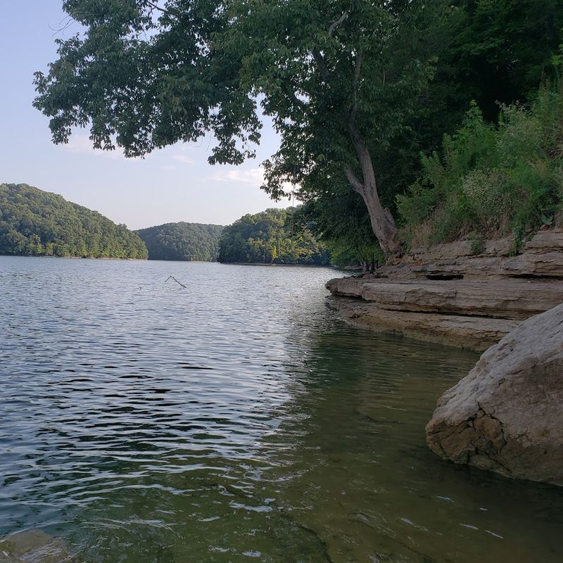
Dale Hollow Lake is legendary. Straddling the Tennessee-Kentucky border and fed by the Obey River, it’s managed by the U.S. Army Corps of Engineers and covers parts of Clay, Pickett, and Overton counties on the Tennessee side.
The lake is famous for its jaw-dropping clarity, world-class smallmouth bass fishing, and houseboat culture that draws families back year after year. Dale Hollow holds the world record for smallmouth bass, and anglers from across the country make the pilgrimage hoping to hook the next one.
But this year, Dale Hollow is dealing with a water crisis that’s hard to ignore. Corps reporting revealed that the lake hit its lowest April elevation observed since 2000, a stark indicator of just how dry the region has been. The Obey River watershed has been struggling with below-average rainfall for months, and the lake has been slow to recover.
For a reservoir that’s already known for its depth and clarity, seeing it sit this low is both rare and unsettling.
The impact on recreation is significant. Boat ramps that are usually easy to navigate now require careful backing and precise timing. Some smaller access points have been closed entirely because the water has receded too far.
Marinas have been forced to relocate docks and warn houseboat renters to stick to deeper channels. If you’ve been visiting Dale Hollow for years, this summer is going to look and feel different. Shoreline you’ve never seen before is now exposed, and coves that were once deep enough for anchoring might now be too shallow.
For fishermen, the lower water presents both challenges and opportunities. Smallmouth bass, walleye, and trout are still in the lake, and the lower levels can actually concentrate them in predictable areas. Creek channels, rocky points, and submerged ledges become easier to identify and target.
But navigating to those spots requires extra caution and a good understanding of the lake’s structure. Keep your electronics on, watch for hazards, and don’t assume a route that was safe last year is still clear.
Dale Hollow Lake isn’t going to disappear, but it’s asking visitors to adjust expectations and plans this summer. Call ahead to marinas and campgrounds to confirm conditions. Check the Corps website for updated lake levels and ramp status.
And bring a little extra patience along with your fishing gear. Dale Hollow is still one of the most beautiful and rewarding lakes in the South, but this year it’s showing a side of itself that most people haven’t seen in more than two decades. Respect the conditions, plan carefully, and you’ll still have an incredible experience on this legendary Tennessee water.