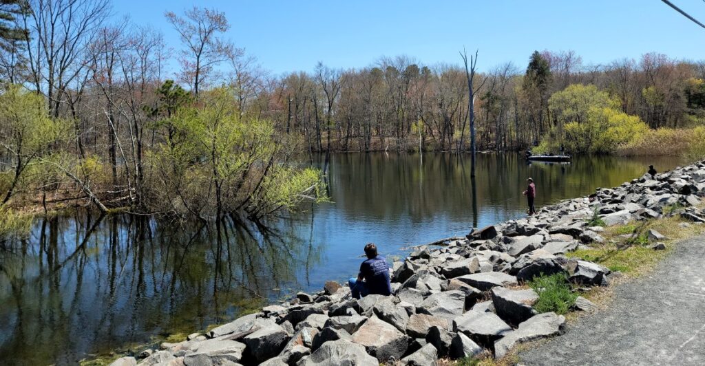
The first thing you see is a waterfall throwing spray across the trailhead. Several miles later, after rocky climbs, quiet forest roads, and perhaps a few questionable decisions involving mud, you arrive beside a pond so still it reflects every tree along its shore.
That is the particular pleasure behind these New Jersey hikes: water is not merely something glimpsed halfway through the route. It frames the entire outing.
Some begin beside lakes and finish at hidden cascades. Others connect waterfalls, reservoirs, streams, and tea-colored Pine Barrens ponds.
A few are established loops, while the longer point-to-point routes require careful map reading, a shuttle, or an arranged pickup. Distances and trail conditions can also change with closures and reroutes, so checking the current park map is always smart.
Whether you want a demanding mountain climb or a peaceful woodland circuit, these trails make sure the beginning and ending both feel like destinations.
1. Buttermilk Falls-Crater Lake-Hemlock Pond Loop – Layton
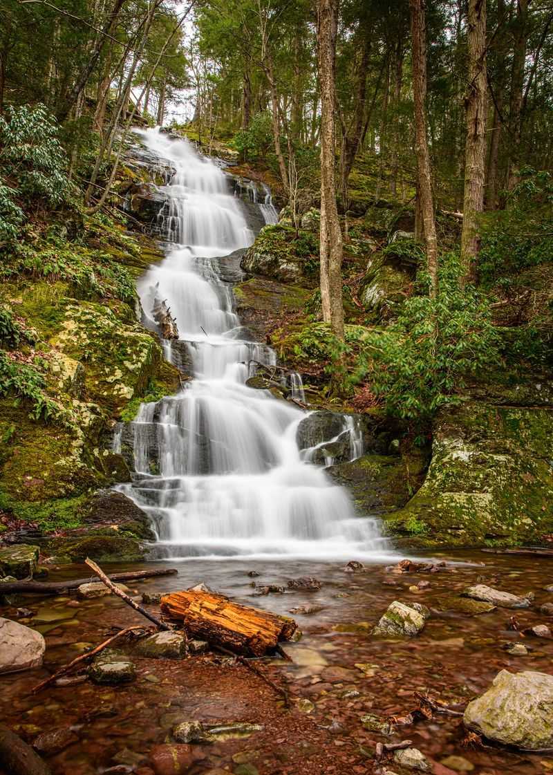
Few New Jersey hikes announce themselves as dramatically as this one. Buttermilk Falls tumbles down a steep rock face beside Mountain Road in the Delaware Water Gap, giving hikers a major payoff before they have taken more than a handful of steps.
Do not let that easy introduction fool you. The blue-blazed Buttermilk Falls Trail climbs sharply beside the cascade, using stairs and rocky slopes to gain elevation quickly before meeting the Appalachian Trail.
Once the toughest climbing is behind you, the route settles into quieter ridge walking and old forest roads. Crater Lake provides the first calm-water contrast to the roaring falls, with rocky shoreline spots that practically demand a snack break.
Hemlock Pond feels even more secluded, wrapped in woods and often visited by beavers and waterfowl. A longer loop connecting both lakes runs roughly seven miles and eventually returns down the steep trail to Buttermilk Falls, so trekking poles can be especially helpful on the descent.
The falls are strongest after rain, while autumn gives the lakes a bright frame of red and gold. Parking is available near the base of the waterfall, but Mountain Road can be rough and may close seasonally.
Arrive early, bring a current trail map, and save enough energy for the return to the water that started the whole adventure.
2. Dunnfield Creek Trail to Sunfish Pond – Columbia
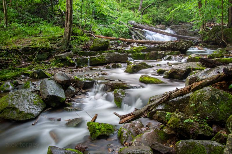
The sound of moving water follows hikers almost immediately from the trailhead near the Delaware River. Dunnfield Creek slips through a shaded ravine beneath hemlocks and hardwoods, tumbling around mossy rocks as the trail begins its steady climb into Worthington State Forest.
For the opening stretch, it is tempting to stop at every little cascade. Pace yourself, because the route has more climbing and considerably more rock underfoot than its peaceful beginning suggests.
The creek eventually falls away as the trail works higher into the Kittatinny Mountains, where sections can feel rugged and wonderfully removed from nearby Interstate 80. The destination is Sunfish Pond, a glacial lake sitting high on the ridge and surrounded by boulders, mountain laurel, and forest.
It is one of those places where hikers naturally lower their voices. The standard out-and-back route is roughly eight miles, though longer loops can be created using the Appalachian Trail and nearby fire roads.
The pond’s rocky shoreline makes a good lunch stop, but swimming is prohibited. Back at the bottom, Dunnfield Creek supplies the finish hikers will appreciate most: cold, rushing water and a final shaded walk before reaching the busy trailhead.
Parking near the Delaware Water Gap fills extremely quickly on weekends, so an early start is less a suggestion than a strategy.
3. Blue Mountain Lake to Hemlock Pond Loop – Walpack Township
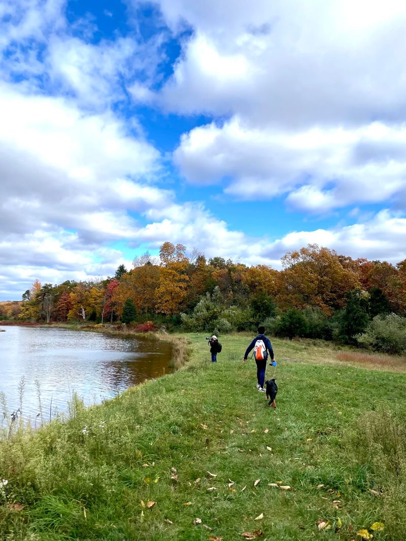
Blue Mountain Lake offers a wonderfully deceptive beginning. The water is calm, the old roads are broad, and the surrounding forest seems determined to convince you that the entire outing will be effortless.
The longer loop to Hemlock Pond eventually introduces rockier footing and enough distance to make the day feel earned, but it remains one of the more approachable ways to explore the quieter interior of the Delaware Water Gap.
Starting near Blue Mountain Lake, hikers pass traces of the former cabin community that once occupied this wooded landscape.
Foundations, stonework, and old lanes appear between the trees, adding a layer of history without distracting from the lakes and wetlands. The route then uses connecting trails and woods roads to reach Hemlock Pond, a secluded body of water ringed by forest and low rock outcrops.
Beaver activity is common, and wet areas can turn sections of the trail into a boot-testing exercise after heavy rain. A full circuit generally lands in the seven-mile range, depending on the connections chosen.
Navigation deserves attention because several trail junctions and old roads can look more inviting than the marked route. Download or carry an updated map before leaving the parking area.
Returning to Blue Mountain Lake is the gentlest possible finish, especially late in the afternoon when the surface catches the changing light and the forest finally goes quiet.
4. Wawayanda Lake to Terrace Pond – Hewitt
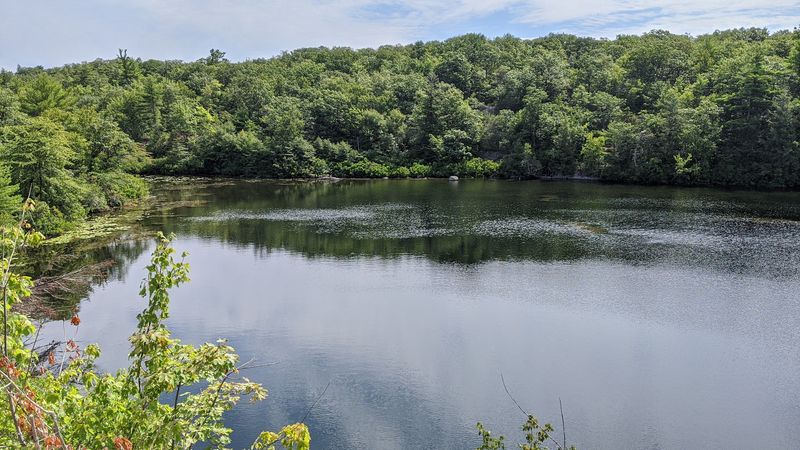
This is the big, adventurous option on the list: a point-to-point journey through Wawayanda State Park that connects two completely different Highland lakes.
Wawayanda Lake provides the broad, welcoming start, with picnic areas, paddlers, and an easy shoreline view before the route enters the park’s much wilder interior.
From there, hikers can build a route through Wawayanda’s extensive trail network toward Bearfort Ridge and Terrace Pond. Expect rocky ground, wet sections, numerous junctions, and a distance that depends heavily on the exact combination of trails selected.
This is not a casual wander to attempt without an updated map and a clear plan. The payoff is Terrace Pond, a glacial lake perched high among exposed rock, scrub oak, rhododendron, and rugged cliffs.
Its dark water and isolated setting feel far removed from the more developed lake where the hike began. The final approach may involve rock scrambles, and the marked loop around Terrace Pond includes a floating walkway and a ladder at the outlet.
Swimming is prohibited despite the pond’s inviting appearance. Because the usual Terrace Pond access is on Clinton Road, this route works best with two vehicles or a prearranged pickup.
Experienced hikers looking for a full-day challenge will find plenty to like here: one large recreational lake at the start, one wild mountaintop pond at the finish, and a serious slice of North Jersey terrain in between.
5. Laurel Falls and Sunfish Pond Loop – Hardwick Township
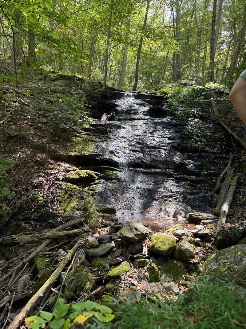
Laurel Falls does not waste time making an impression. From the Douglas Trail parking area on Old Mine Road, the lower cascades are only a short walk away, spilling over angled ledges beneath a canopy that keeps the ravine cool even on warm days.
The waterfall is prettiest after recent rain, though the surrounding gorge remains worth seeing when the flow is modest. From this watery beginning, the route climbs decisively toward Sunfish Pond using the Garvey Springs Trail, one of the quickest and steepest approaches to the ridge.
The ascent is rocky enough to make a mile feel longer than it looks on paper, but the first view across Sunfish Pond provides an excellent excuse to stop. For a roughly five-mile loop, hikers can follow the Appalachian Trail along the pond’s boulder-strewn shoreline before descending on the Douglas Trail.
That shoreline section requires careful footing; at times the route feels less like a path and more like a long negotiation with a pile of rocks. The pond itself is a National Natural Landmark, and its undeveloped shores are part of what makes the destination feel special.
Save Laurel Falls for the end if you prefer a downhill finish with a final reward. Either direction works, but descending the rougher Garvey Springs Trail can be hard on the knees.
The nearby campground has seasonal facilities, while the trailhead lot is relatively small.
6. Stony Lake and Stony Brook Falls Trail – Sandyston
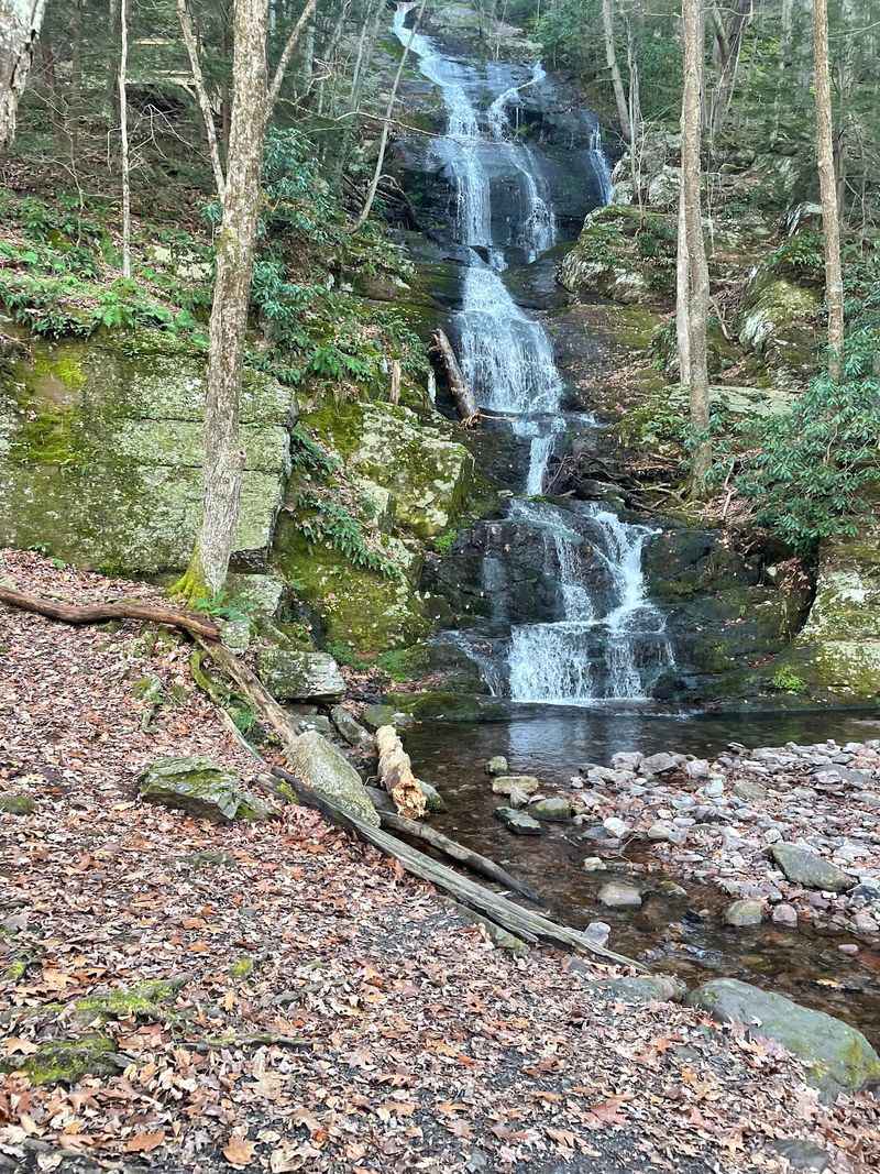
A glassy lake, two waterfalls, and an old silver-mine site make this Stokes State Forest outing feel like several short adventures stitched together. Begin near Stony Lake, where the water sits beneath the forested slopes of the Kittatinny Mountains and often mirrors the surrounding trees.
From the lake area, the park’s interconnected trails allow experienced hikers to create a longer route toward Kittle Field and the brown-blazed Stony Brook Trail. Carry the current Stokes trail map, because this is a customized park traverse rather than a single, continuously named trail.
The finish is especially generous. Stony Brook produces two distinct falls within a relatively compact area: one spreads across layered rock in a series of steps, while the other slides down a sharper angled face.
Several smaller cascades appear when the water is running high. Hikers who want more mileage can incorporate the orange-blazed Silver Mine Trail, which passes the fenced remains of a small mine and the remnants of an old dam.
That extension includes a notably rocky stretch, so it is better suited to sturdy footwear than casual sneakers. The waterfalls are most dependable in spring or after rain; late-summer flow can be thin.
Because the lake and falls lie in different parts of the forest, check the route, distance, and any seasonal road restrictions before setting out. A two-car arrangement can simplify the day and prevent a long retrace.
7. Ramapo Lake and Ramapo Valley Falls Loop – Mahwah
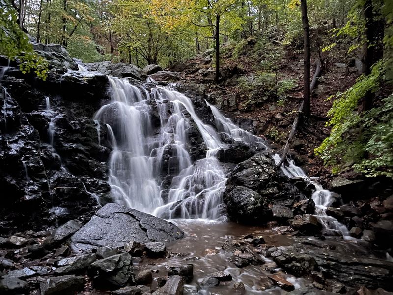
Water appears in several moods around Ramapo Valley County Reservation: smooth and reflective at Scarlet Oak Pond, lively along the Ramapo River, and briefly dramatic where a woodland stream drops over Ramapo Valley Falls. That variety is the reason this popular Mahwah destination works so well for the theme.
A practical route begins near Scarlet Oak Pond, reached almost immediately from the main parking area. The broad path around the pond is deceptively easy, but the terrain becomes rockier as the trail climbs toward MacMillan Reservoir and the surrounding hills.
By combining marked paths through the reservation, hikers can reach the seasonal waterfall before looping back toward the lower water features. The cascade is at its best after snowmelt or substantial rain and may shrink considerably during dry weather.
A moderate loop can generally be kept around four to five miles, though the dense trail network makes both shorter and longer versions possible. Pay close attention at intersections, as several routes share sections and blaze colors can change direction abruptly.
Weekends bring families, dog walkers, runners, and hikers to the pond, but the crowd thins noticeably once the climbing begins. The parking lot off Route 202 is large by trailhead standards and still fills on pleasant mornings.
Returning beside Scarlet Oak Pond gives the hike a satisfying final chapter, with benches and open shoreline views providing a comfortable place to cool down.
8. Butler Reservoir and Apshawa Falls Loop – West Milford
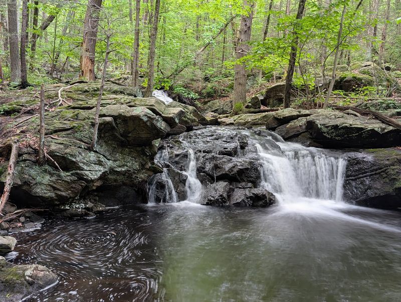
Apshawa Preserve packs an impressive amount into a relatively compact patch of West Milford forest. The longer loop leads hikers around Butler Reservoir, now officially known as the Kathleen M.
Caren Memorial Reservoir, where beaver lodges, lily pads, and wooded shorelines create the hike’s quieter half. Reaching the water requires a short approach from the Northwood Drive parking lot, but once there, the trail repeatedly returns to reservoir views.
Flat rocks along the shore make natural rest stops, and the old dam hints at the property’s former role in the local water system. Then the character changes.
The route drops toward Apshawa Brook, where a series of cascades tumbles into a broad pool beneath the trees. Nearby ruins include large water tanks and remnants of early-20th-century infrastructure, giving the waterfall area an unexpectedly industrial edge.
The full loop is a little over five miles and includes rocky footing, stream crossings, wet ground, and a few steep sections. The falls depend heavily on recent rainfall, so spring or the day after a good soaking offers the best chance of strong flow.
Trail markings and alignments have changed over time, making a current preserve map essential. There are no restrooms at the trailhead, and the dirt parking area can fill quickly.
After the falls, connecting trails return hikers toward the reservoir side of the preserve and eventually the woodland approach to the lot.
9. Lake Solitude and Ken Lockwood Gorge Trail – High Bridge
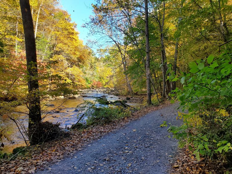
The stone spillway at Lake Solitude gives this Hunterdon County route a strong opening before the walk settles into the easy rhythm of the Columbia Trail. The lake and historic dam sit near High Bridge, and the surrounding scenery feels surprisingly tucked away for a starting point so close to town.
From there, the rail-trail follows the South Branch of the Raritan River toward Ken Lockwood Gorge. The grade is gentle, the path is broad, and the river repeatedly appears through the trees, making this a good choice for hikers who prefer distance without relentless climbing.
The landscape changes dramatically inside the gorge. Water pushes around enormous boulders and through rocky channels while steep, forested slopes rise on both sides.
Anglers work the quieter pools, cyclists pass along the old rail bed, and hikers find plenty of openings for closer river views. A point-to-point outing between Lake Solitude and the gorge benefits from a shuttle or second vehicle, while an out-and-back lets walkers choose a comfortable turnaround.
The exact mileage depends on where you enter and exit the Columbia Trail, so plan the route before parking. Autumn color is excellent, but winter reveals the gorge’s rock walls and rushing water especially well.
The trail surface can hold puddles after rain, though it is far less technical than the rocky mountain routes elsewhere on this list. The river delivers a lively finish that feels entirely different from the placid lake at the beginning.
10. Pakim Pond and Mount Misery Trail Loop – Woodland Township
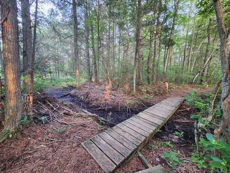
Tea-colored water, sandy soil, and pitch pines set this final hike apart from every rocky North Jersey route above it. Pakim Pond sits just off Coopers Road in Brendan T.
Byrne State Forest, offering an immediate water view and a picnic-friendly place to begin. The pond’s dark color comes from natural tannins released by vegetation, a signature feature of Pine Barrens waterways rather than a sign that anything is wrong with it.
From the shoreline, hikers can connect forest roads and marked paths with the Mount Misery Trail for a longer loop through cedar swamps, pine forest, and open stretches of sand. Despite the melodramatic name, Mount Misery is hardly a mountain.
The terrain is largely flat, so the main challenges are distance, soft sand, seasonal insects, and navigation across similar-looking woods roads. Depending on the chosen circuit, hikers can keep the outing moderate or turn it into a much longer day.
Blazes may be widely spaced in places, making a map or downloaded route particularly useful. Wildlife sightings can include deer, turtles, frogs, and numerous birds around the pond and wetlands.
Spring and fall bring the most comfortable hiking temperatures, while summer calls for serious insect repellent.
Completing the loop back at Pakim Pond is the perfect finish: the benches and shoreline provide room to shed a pack, watch ripples move across the copper-colored water, and appreciate just how different the Pine Barrens feels from the rest of New Jersey.
Share this story