Texas weather doesn’t play by normal rules. You can wake up to sunshine in Dallas and need a jacket by lunch, or watch storm clouds roll across the Hill Country faster than you can pack up your picnic. Whether you’re road-tripping through the Panhandle or hitting the Gulf Coast beaches, understanding how wild Texas weather can get will save you from soggy shoes, sunburns, and serious safety risks.
1. Never Drive Through Flooded Roads
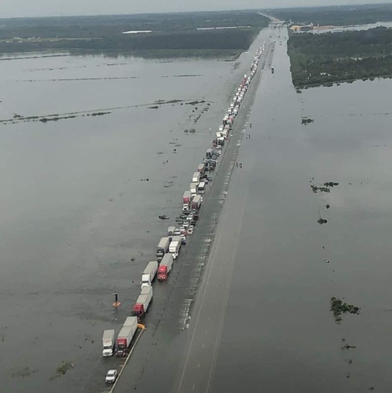
Flash floods kill more people in Texas than any other weather event, and most of those deaths happen inside vehicles. Water moves faster and with more force than it looks, especially across low-water crossings and dips in rural roads. Just six inches of rushing water can knock an adult off their feet, and twelve inches can carry away most cars.
You can’t see what’s under flood water. The road surface might have washed away completely, leaving a dangerous gap or sinkhole that’ll swallow your car in seconds. Even if the pavement is still there, your engine can flood and stall, leaving you trapped as water rises around you.
The famous Texas saying “Turn Around, Don’t Drown” exists for good reason. If you see water across any road, find another route, even if it adds twenty minutes to your trip. Don’t trust your GPS to know which roads are flooded right now, and never follow another driver through water just because they’re attempting it.
Hill Country roads and areas around San Antonio, Austin, and Houston flood especially fast during heavy rain. These regions sit on limestone that doesn’t absorb water well, so rainfall runs straight into creeks and low spots. What looks like a light drizzle upstream can become a wall of water downstream in minutes.
If you do get caught in rising water while driving, abandon your car immediately and move to higher ground. Don’t wait to see if the water stops rising. Cars can flip and fill with water shockingly fast, and escaping through a window or door becomes nearly impossible once the pressure equalizes.
2. Check Gulf Coast Conditions Before Beach Days
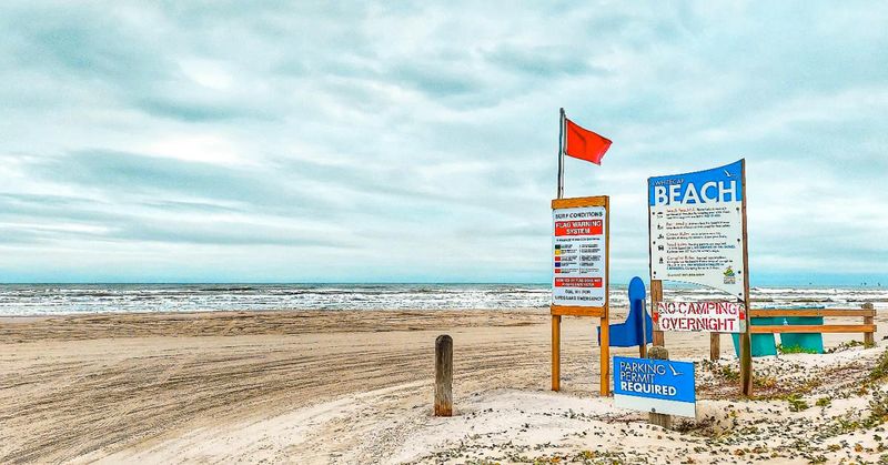
Gulf beaches stretch for hundreds of miles along the Texas coast, but conditions change dramatically depending on weather systems, tides, and time of year. What looks like a perfect beach day from your hotel window might hide dangerous rip currents, jellyfish blooms, or red tide warnings that’ll ruin your plans.
Rip currents are the biggest danger at Texas beaches. Strong offshore winds and certain tide patterns create channels of water flowing away from shore, and they can pull even strong swimmers out to sea. Beach patrol posts colored flags daily to warn visitors about water conditions, with red flags meaning stay out completely and purple flags warning about marine life like jellyfish or stingrays.
Summer brings the calmest Gulf waters, but also the highest chance of sudden thunderstorms rolling in from the water. These storms develop fast and pack lightning that strikes the tallest thing around, which might be you if you’re standing on an open beach. When you hear thunder, get off the beach and into a building or vehicle immediately.
Seaweed and Portuguese man-of-war jellyfish wash ashore after storms and strong onshore winds. The jellyfish look like deflated blue balloons on the sand, but their tentacles can still sting badly even when they appear dead. Kids love poking things on the beach, so keep an eye out and teach them to leave strange blobs alone.
Check local beach reports before you go. Most coastal cities maintain websites or social media pages with daily updates about water quality, rip current risks, and any beach closures. Padre Island National Seashore and Galveston Island both offer detailed condition reports that update multiple times daily during peak season.
3. Pack Layers for North Texas and the Panhandle
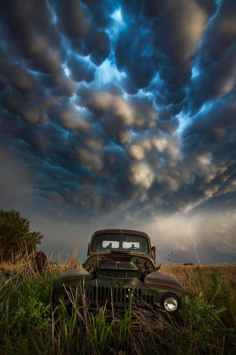
Temperature swings in North Texas and the Panhandle can hit forty degrees in a single day, especially during spring and fall. You might need a jacket for your morning coffee and shorts by afternoon, then that jacket again once the sun drops. Cold fronts blow through this part of Texas fast, dropping temperatures twenty degrees in an hour.
The Panhandle sits on high, flat plains where nothing blocks the wind. When cold air pushes down from the north, it screams across those plains and cuts right through thin clothing. Wind chill can make a fifty-degree day feel like freezing, especially if you’re planning outdoor activities like visiting Palo Duro Canyon or exploring Amarillo.
Winter visitors get caught off guard by how genuinely cold this region gets. While South Texas rarely sees hard freezes, the Panhandle regularly drops below freezing from December through February, and ice storms can shut down roads for days. Pack a real winter coat, not just a hoodie, if you’re visiting between November and March.
Spring brings the wildest temperature swings. March and April mornings might start near freezing, climb to seventy by lunch, then plummet again as evening storms roll through. These are the months when you’ll see locals wearing shorts and carrying jackets at the same time, which looks silly but makes perfect sense.
Even summer nights cool down more than you’d expect. The Panhandle sits at higher elevation than the rest of Texas, and that elevation combined with low humidity means heat escapes fast after sunset. Bring a light jacket or long sleeves for evening activities, outdoor concerts, or stargazing trips, even in July.
4. Stay Hydrated Before You Feel Thirsty

By the time you feel thirsty in Texas heat, you’re already behind on hydration. Your body loses water through sweat faster than your brain registers the need to drink, especially when humidity is low and sweat evaporates before you notice it. This sneaky dehydration catches tourists constantly, particularly those coming from cooler or more humid climates.
Summer temperatures across most of Texas regularly top 95 degrees, and the combination of heat and activity drains your water reserves fast. Walking around downtown San Antonio, hiking at Big Bend, or spending a day at a theme park can require twice as much water as the same activities would need back home. Plan to drink water every fifteen to twenty minutes during outdoor activities, not just when your mouth feels dry.
Signs of dehydration start subtle. You might feel tired, get a mild headache, or notice you’re not sweating as much as you were earlier. By the time you feel dizzy or nauseous, you’re dealing with serious dehydration that needs immediate attention and possibly medical help.
Kids and older adults dehydrate faster than healthy young adults, and they’re also less likely to recognize the symptoms. If you’re traveling with children or elderly family members, make hydration a scheduled activity rather than waiting for them to ask for water. Set phone reminders if you need to.
Alcohol and caffeine both increase dehydration, which matters when you’re day-drinking at a barbecue joint or powering through afternoon sightseeing with iced coffee. For every alcoholic or caffeinated drink, add an extra glass of plain water. Sports drinks help replace electrolytes during intense activity, but plain water works fine for normal sightseeing and walking around.
5. Watch for Strong Winds and Blowing Dust in West Texas
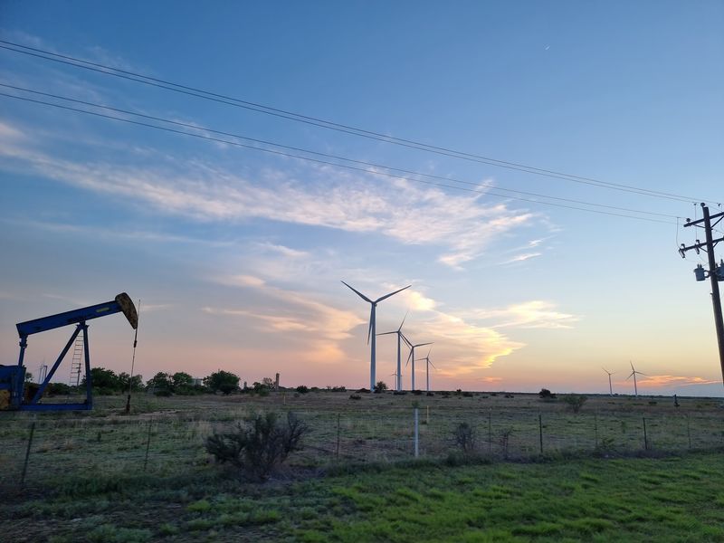
West Texas wind doesn’t just blow, it attacks. Spring brings sustained winds of twenty to thirty miles per hour that gust even higher, strong enough to rip car doors from your hands and blow semi-trucks off the highway. The flat, empty landscape offers nothing to slow wind down, so it builds speed across hundreds of miles of desert and farmland.
Blowing dust creates the most dangerous driving conditions. Drought and farming practices leave loose topsoil exposed, and strong winds lift that soil into massive dust clouds that reduce visibility to zero in seconds. These dust storms, called haboobs when they’re really big, can stretch for miles and appear suddenly as you’re driving.
If you encounter blowing dust while driving, pull off the road completely, turn off all lights, take your foot off the brake, and wait it out. Other drivers use taillights as guides in low visibility, so if you leave your lights on while stopped, someone might rear-end you at highway speed. Never stop in the travel lane, even if you can barely see.
Wind also creates serious problems for high-profile vehicles like RVs, moving trucks, and SUVs with roof cargo. Interstate 10 and Interstate 20 across West Texas see regular accidents when crosswinds push tall vehicles into other lanes or flip them completely. Check wind forecasts before driving, and if sustained winds are predicted above thirty miles per hour, consider delaying your trip.
Dust gets into everything. Your car, your luggage, your eyes and lungs. If you’re camping or hiking in West Texas during windy periods, bring goggles or sunglasses and a bandana to cover your nose and mouth.
Dust inhalation can trigger asthma attacks and breathing problems even in healthy people.
6. Check DriveTexas Before Long Road Trips
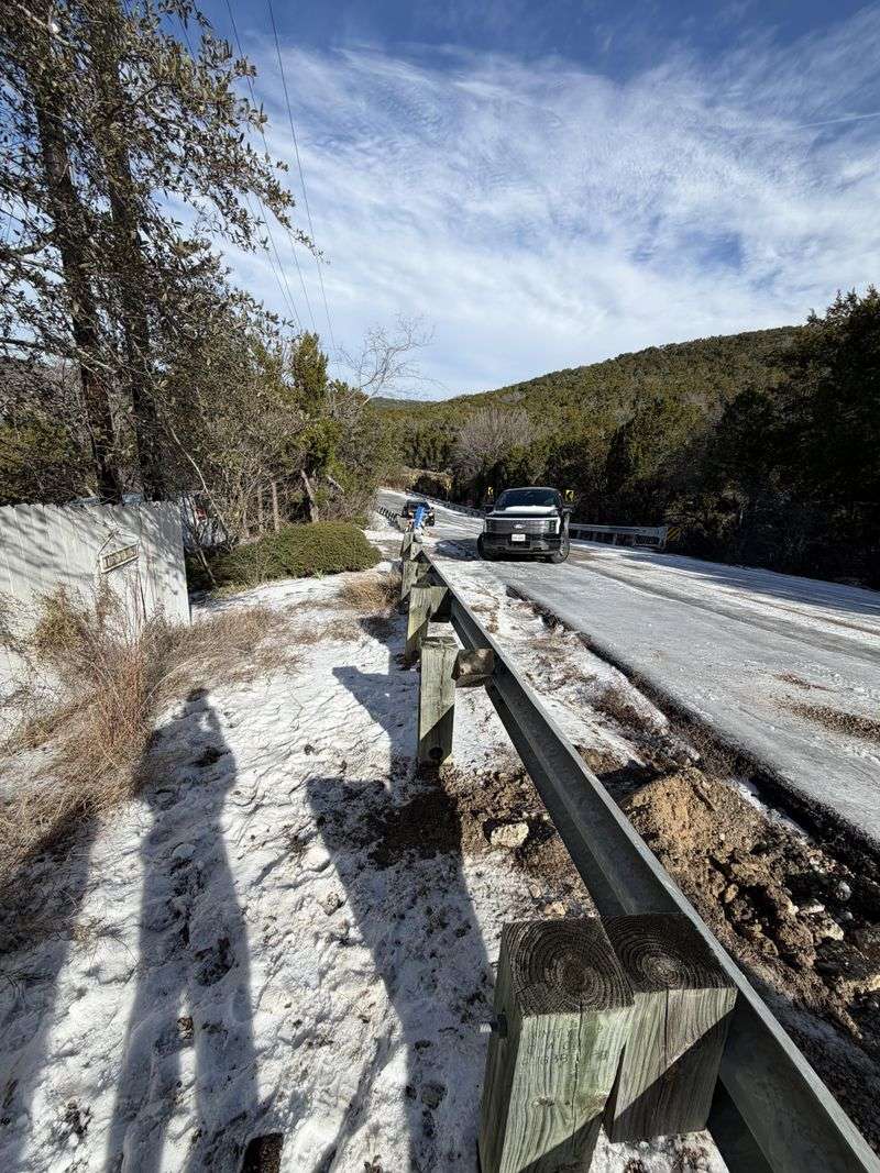
DriveTexas.org is the official Texas Department of Transportation website that shows real-time road conditions, closures, construction, and weather impacts across every highway in the state. Checking it before you leave and during long drives can save you hours of sitting in unexpected traffic or hitting closed roads.
Texas is massive, and weather that’s fine where you are might be dangerous a hundred miles down your route. DriveTexas shows you where ice has closed highways in the Panhandle, which coastal roads are flooded, and where dust storms have reduced visibility in West Texas. The site updates constantly as conditions change.
The map interface shows traffic cameras at major intersections and along highways, so you can actually see current conditions rather than just reading about them. This feature is incredibly useful during winter weather events when you need to know if roads are wet, icy, or clear before you commit to driving.
Construction in Texas never stops, and major highways regularly close lanes or entire sections for repairs and expansion. What Google Maps shows as a two-hour drive might take four if you hit construction delays you didn’t know about. DriveTexas lists all planned construction and road work, usually weeks in advance.
The site also includes rest area locations and their current status, which matters on long stretches of empty highway where facilities are fifty or more miles apart. Some rest areas close periodically for maintenance, and knowing which ones are open helps you plan bathroom and food stops better.
Download the DriveTexas app before your trip so you can check conditions even in areas with spotty cell service. The app sends alerts about incidents and closures along your route, and you can save favorite highways to monitor regularly during your travels.
7. Plan Outdoor Activities Around Extreme Heat
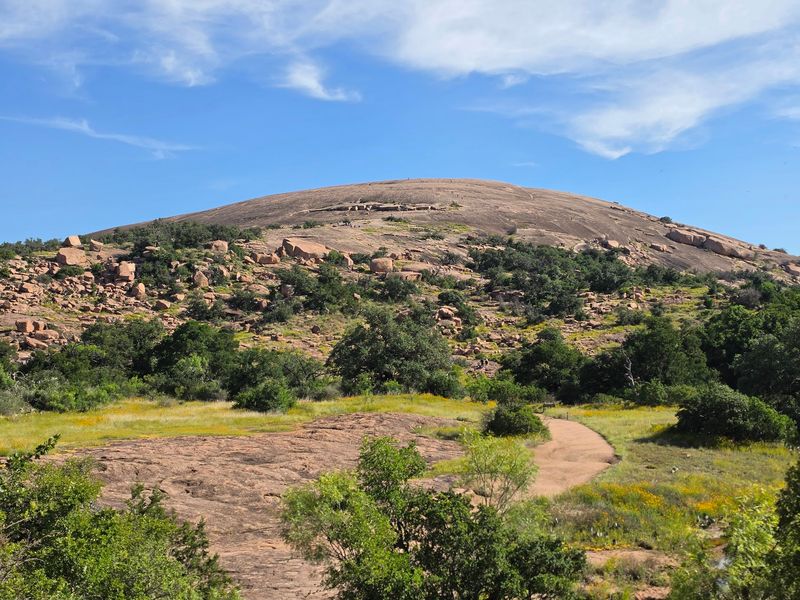
Summer heat in Texas isn’t just uncomfortable, it’s legitimately dangerous. Heat index values regularly exceed 105 degrees across most of the state from June through September, creating conditions where heat exhaustion and heat stroke become real risks within thirty minutes of outdoor activity. Smart travelers adjust their schedules rather than fighting the heat.
Plan outdoor activities for early morning or evening when temperatures drop ten to twenty degrees from peak afternoon heat. Sunrise hikes, early morning bike rides, and evening walks give you the same experiences without the danger. Most state parks open at dawn specifically so visitors can enjoy trails before mid-morning heat takes over.
Midday belongs indoors or in the water. This is when you tour air-conditioned museums, catch a movie, explore the Houston Space Center, or hit natural swimming holes and springs. Texas has hundreds of spring-fed swimming areas that stay cool year-round, perfect for midday relief.
If you must be outside during peak heat, take breaks every twenty to thirty minutes in shade or air conditioning. Your body needs time to cool down, and pushing through without breaks is how people end up in emergency rooms. Watch for warning signs like dizziness, confusion, rapid heartbeat, or stopping sweating, all of which signal dangerous overheating.
Some outdoor attractions close or limit hours during extreme heat. Big Bend National Park rangers strongly discourage hiking after 10 AM in summer, and some trails close completely. Check with parks and outdoor venues about heat policies before you drive out, because showing up at noon for a hike you can’t safely do wastes your whole day.
Pets overheat faster than humans and can’t tell you when they’re in trouble. Leave dogs at home or in air conditioning during Texas summer days, and never leave any living thing in a parked car, even with windows cracked.
8. Prepare for Severe Thunderstorms and Tornadoes
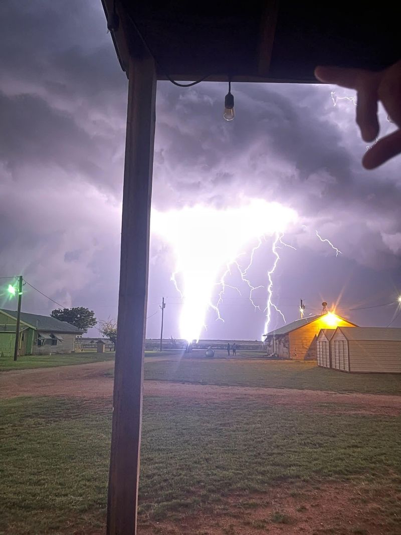
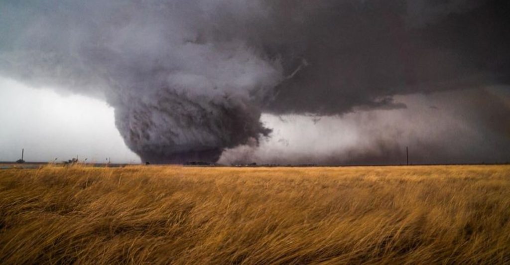
Texas sits in the southern end of Tornado Alley, and spring brings powerful thunderstorms that can spawn tornadoes with little warning. These aren’t the gentle afternoon showers you might get in other states. Texas storms pack golf-ball-sized hail, winds over seventy miles per hour, flash flooding, and tornadoes that can level entire neighborhoods.
Most tornadoes hit during late afternoon and evening from March through June, but they can happen any time of year. North Texas, the Dallas-Fort Worth area, and regions along Interstate 35 see the most tornado activity. If you’re staying in a hotel during storm season, ask about their shelter plan when you check in.
Download a weather alert app before you arrive in Texas. Apps like Weather Underground or the official NOAA Weather Radio app send push notifications when severe weather threatens your specific location. These alerts give you precious minutes to take shelter before conditions become dangerous.
If a tornado warning is issued for your area, move to the lowest floor of the strongest building you can reach, away from windows. Interior bathrooms, closets, and hallways offer the best protection. If you’re in a car and can see a tornado, don’t try to outrun it.
Find a sturdy building immediately, or as a last resort, lie flat in a ditch or low area and cover your head.
Hail destroys cars and injures people caught outside. When severe thunderstorm warnings mention large hail, get your vehicle under cover if possible and stay indoors. Golf-ball-sized hail falls fast enough to crack windshields and dent metal, and it will absolutely hurt you if you’re caught in it.
Lightning kills more people than tornadoes in Texas. When you hear thunder, get inside a building or vehicle immediately. Don’t wait to see if the storm gets closer, because if you can hear thunder, you’re already within striking distance.
9. Expect Big Weather Differences Across Texas
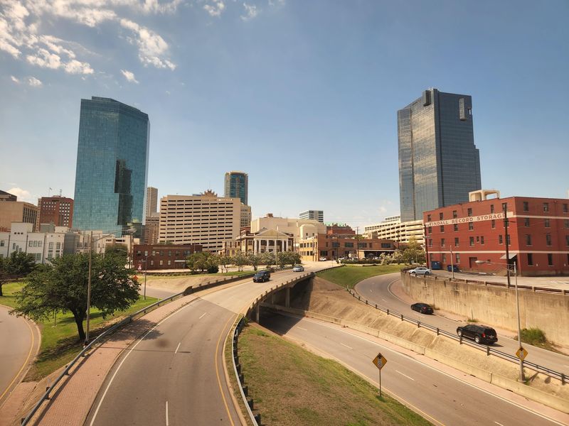
Texas spans 268,000 square miles, which means the weather in El Paso has almost nothing in common with the weather in Houston on the same day. You can’t pack for “Texas weather” because Texas has at least five distinct climate zones, each with completely different conditions, challenges, and seasonal patterns.
East Texas around Houston and Beaumont is humid and subtropical, with weather that feels more like Louisiana than the rest of the state. Summer humidity makes 90 degrees feel like 105, and afternoon thunderstorms pop up almost daily from May through September. This region gets forty to fifty inches of rain yearly, more than Seattle.
West Texas and the Panhandle are high desert with low humidity, cold winters, and dramatic temperature swings. El Paso gets just eight inches of rain per year and shares more weather patterns with New Mexico than with Dallas. Amarillo regularly sees below-zero wind chills in winter and dust storms in spring.
The Hill Country and Central Texas sit in a transition zone between humid east and dry west. Austin, San Antonio, and the surrounding areas get moderate rainfall but suffer intense heat and sudden flooding when storms stall over the limestone hills. This region experiences the most extreme flash flooding in the state.
South Texas and the Rio Grande Valley stay warm year-round, with mild winters that rarely freeze and brutal summer heat. This is the only part of Texas where palm trees grow naturally, and where winter visitors from the north come to escape snow.
The Gulf Coast has its own microclimate influenced by warm water and sea breezes. Coastal areas stay slightly cooler in summer and warmer in winter than locations just fifty miles inland, but they also face hurricane threats and higher humidity year-round.
10. Use NWS and Local Emergency Alerts

The National Weather Service operates multiple forecast offices across Texas, each staffed by meteorologists who understand local weather patterns and issue warnings specific to their regions. Following your local NWS office on social media and enabling emergency alerts on your phone gives you the most accurate, timely weather information available.
Weather apps are convenient, but they get their data from national models that don’t always catch Texas-specific threats like flash flooding in Hill Country canyons or dust storms in the Panhandle. NWS meteorologists issue warnings based on real-time radar, storm spotter reports, and local knowledge that automated systems miss.
Enable Wireless Emergency Alerts on your smartphone so you receive tornado warnings, flash flood warnings, and other critical alerts automatically. These alerts use cell tower locations to target warnings to people actually in danger, not just everyone in a county. The loud alarm sound is jarring, but it might save your life.
Each region of Texas has specific weather threats that local emergency management takes seriously. Sign up for alert systems in the cities you’re visiting. Houston has ReadyHarris, Austin has WarnCentralTexas, and Dallas has NotifyDFW.
These systems send detailed information about local emergencies, road closures, and shelter locations.
NOAA Weather Radio broadcasts continuous weather information and automatically activates during warnings. You can buy a weather radio for twenty dollars, and many hotels keep them at the front desk for guest use. If you’re camping or staying in rural areas with spotty cell service, a weather radio provides critical information when your phone doesn’t work.
Don’t ignore warnings just because previous alerts didn’t affect you. Texas weather can change drastically within a few miles, so an area that was fine ten minutes ago might be in serious danger now. When you receive a warning, check the details immediately and take recommended actions.
Share this story