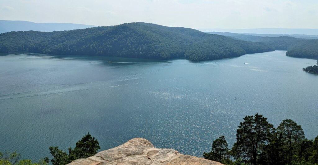
Raystown Lake looks like a peaceful place to boat, swim, fish, and enjoy the surrounding hills. Yet beneath its waters lies part of an older valley where people once lived, worked, farmed, and built communities. The creation of the lake changed the landscape dramatically, leaving portions of that earlier world out of sight beneath the water.
Some stories say six villages vanished when the lake was built, but that exact claim is difficult to verify and can vary depending on how the communities are counted and defined. What is clear is that the valley had a history long before the reservoir existed, and its creation reshaped the area and displaced people and properties. The places below help explain what changed, what remains nearby, and why looking carefully at historical records matters when separating documented history from stories that have grown over time.
1. Aitch: A Community the Lake Changed
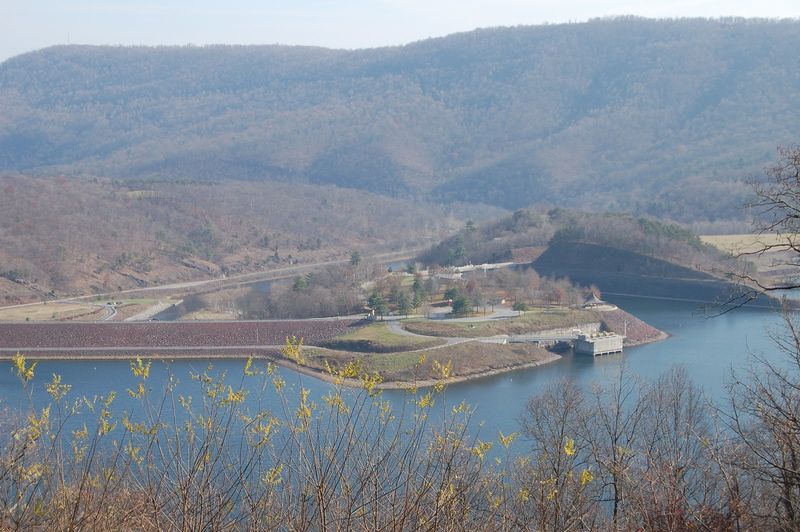
Imagine knowing the bends in a road so well that you could find your way home after dark.
Aitch was a community in the valley that changed when the modern Raystown Lake was created.
Its name still appears in local history, even though the old landscape no longer looks the same.
For former residents and their families, a map cannot show every memory tied to a place.
The lake was completed in 1973 after a dam was built on the Raystown Branch of the Juniata River.
Water covered land once used for homes, roads, and farms.
That is why stories about Aitch deserve more care than a simple tale about buildings underwater.
If you visit, look for historical maps or local accounts that show where Aitch stood.
Compare them with a current lake map.
The exercise makes one thing clear: a favorite vacation spot can also hold a community’s past.
2. Entriken: A Nearby Name, Not a Lost Village
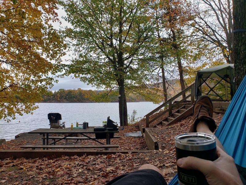
Entriken is a useful reminder that not every old name near Raystown Lake belongs on a list of sunken villages.
The community remains a real place in Huntingdon County.
You can still find its name on maps today.
Calling it a village that disappeared beneath the water would hide that simple fact.
Why does Entriken appear in lake stories?
Roads, farms, and communities around the Raystown Branch are closely connected.
When a reservoir changes a valley, people may remember the whole area as different, even when a nearby settlement stays above water.
A community can feel the effects of a project without being submerged.
Before sharing a claim about any lost town, check both an older map and a current one.
Look for the former town center, not just a familiar name in the wider region.
Entriken makes that lesson easy to understand and helps keep local history fair to the people who live there.
3. Marklesburg: Still on the Map
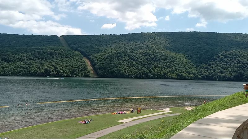
Marklesburg has a story worth telling, but not as a town resting on the lake bottom.
It remains a borough near Raystown Lake.
Its continued presence matters because lists of supposed sunken villages sometimes blur the line between places that vanished and places that simply lie close to the reservoir.
Picture a family planning a visit.
They see Marklesburg on an old map, then notice it in a story about flooded communities.
Without checking a newer map, they might believe its streets disappeared.
A quick comparison shows why location is more useful than a dramatic headline.
Distance from the shore can change what a lake project meant for each community.
Visitors can use Marklesburg as a starting point for learning about the region.
Ask local historical groups about old roads, farms, and families rather than assuming every nearby settlement was flooded.
Careful questions often uncover richer stories than a list of names passed around without evidence.
4. Hesston: Close to the Shore, Above the Water
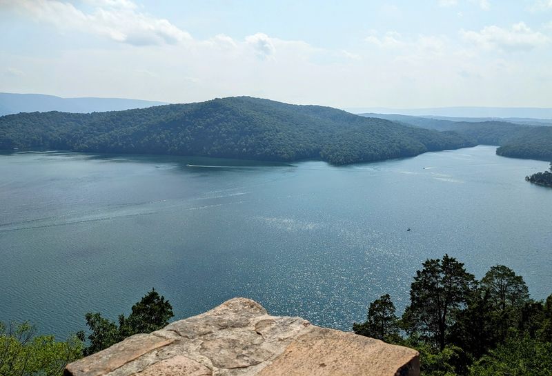
A trip to the lake can take you through Hesston, a community that still exists.
Its closeness to popular lake destinations may make it sound like part of a vanished valley, but closeness is not proof of flooding.
Keeping that difference straight respects both today’s residents and the people whose former homes were affected.
Raystown Lake reshaped travel across the area.
Roads and familiar routes changed as the reservoir took shape, and the shoreline created new places for boating, camping, and walking.
Those changes reach beyond the water’s edge.
A place can be part of the lake’s history while remaining dry.
When you explore near Hesston, pay attention to how hills guide the roads.
The steep landscape helps explain why a long, narrow lake formed here.
Stay on public roads and marked trails when looking for viewpoints.
Private land surrounds parts of the reservoir, and an old place name is never permission to cross it.
5. Huntingdon: Where to Check the History
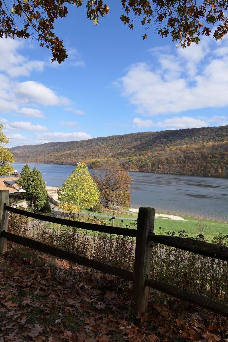
Huntingdon is not hiding under Raystown Lake.
It is an existing borough and a helpful place to begin checking stories about the reservoir.
That distinction may seem obvious on a map, yet it shows how easily a county name, a nearby town, and a former settlement can get mixed together.
The lake lies in Huntingdon County, and its history stretches across many smaller places.
To understand that history, seek out dated maps, newspaper accounts, and records held by local organizations.
A map made before the modern dam was completed in 1973 can show roads and communities that a current recreation map cannot.
Reading both side by side gives a clearer picture of what changed.
If you are traveling with children, turn the search into a map activity.
Ask them to find one road that moved or ended near the shore.
It is a simple way to connect today’s outdoor fun with yesterday’s everyday lives.
6. Saxton: A Reminder to Separate Regions
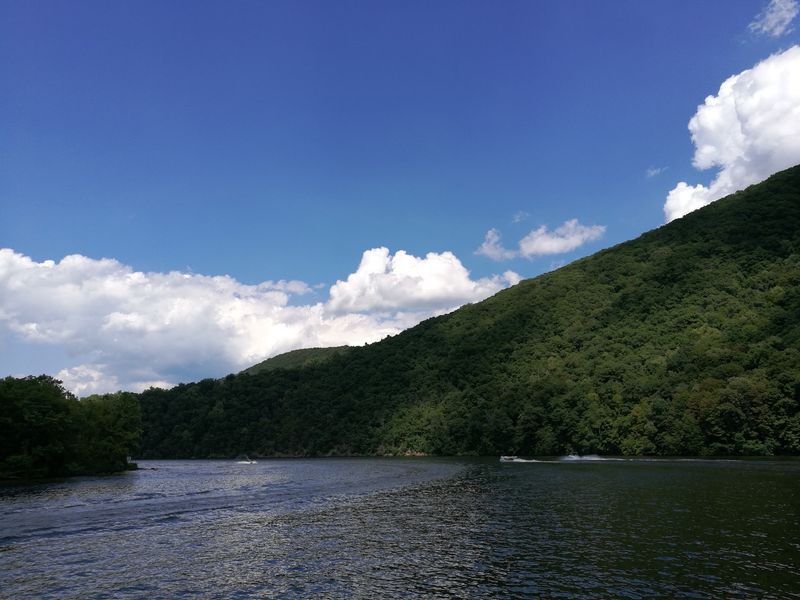
Saxton can enter conversations about the wider Raystown region, but it is not a village that vanished beneath Raystown Lake.
It remains on the map.
Including it among supposed sunken towns would stretch the lake’s story beyond what the evidence supports.
That mistake is easy to make when a reservoir is large.
Raystown Lake runs for many miles through a mountain valley, and nearby place names can sound connected.
Yet sharing a river system or a regional history does not mean a town was covered by the same reservoir.
The exact site matters.
For a better view, trace the Raystown Branch on a map and mark the lake’s shoreline.
Then locate Saxton and the other communities mentioned in stories you read.
Notice which names sit inside the water and which do not.
That small check protects a surprising truth: the valley did lose familiar places, but its history is stronger when we do not invent losses.
Share this story