A trucking depot driveway is not where you expect to run into a bridge from the 1730s. Yet in Bound Brook, tucked near Railroad Avenue and the Green Brook, one of New Jersey’s oldest surviving stone crossings is still there, mostly buried under asphalt, fill, and nearly three centuries of “we’ll deal with it later.”
The Old Stone Arch Bridge does not announce itself with a grand overlook or tidy colonial village backdrop.
It sits in the kind of practical, slightly oddball place New Jersey does better than anywhere: near rail lines, warehouses, traffic, and a piece of history stubborn enough to outlast all of it.
Built as early as 1731, the bridge carried colonial travelers, helped define a key crossing between Somerset and Middlesex counties, and later found itself in the middle of a Revolutionary War fight.
Small bridge, big résumé. Very Jersey.
The 1731 bridge hiding beneath Bound Brook
Stand near the site today and the first surprise is how little it looks like a landmark. There is no sweeping riverfront reveal, no dramatic stone arch framed neatly for photos.
The Old Stone Arch Bridge is largely underground, buried beneath generations of roadwork, railroad changes, and industrial use. What survives is not a replica or a commemorative prop.
It is the real thing: a triple-arch stone bridge believed to have been constructed as early as 1731, long before Bound Brook became the busy Somerset County borough people know from Route 28, Main Street, and the train station nearby.
Official descriptions place it along Railroad Avenue, where it once carried the Raritan Road over the Bound Brook, with Green Brook running near its meeting point with the Raritan River.
The bridge is about 80 feet long, with three arches and a center span of more than 17 feet, which sounds modest until you remember this was colonial engineering done with rough local stone, muscle, and no modern machinery.
Preservation groups describe it as made from locally quarried sandstone and shale, spanning the boundary between Somerset and Middlesex counties and between Bound Brook and Middlesex Borough.
That border detail matters. This was not just a pretty little crossing.
It was a working piece of public infrastructure in a spot where water, roads, county lines, and commerce all bumped into one another. Today, most drivers and pedestrians pass the area without realizing an 18th-century bridge is underfoot.
That is the strange charm of it. New Jersey history is rarely wrapped in velvet rope.
Sometimes it is hiding under asphalt, waiting for someone to point and say, “No, seriously, that’s from before the Revolution.”
How a colonial crossing became a Revolutionary War battleground
By April 1777, Bound Brook was not just a sleepy road stop with a bridge. It was a tense military position sitting near important river crossings, with George Washington’s army trying to keep watch over British movements out of New Brunswick.
The Old Stone Arch Bridge and the nearby causeway helped control access into the village, which made them useful in peacetime and dangerous in wartime. On April 13, 1777, British and Hessian troops launched a surprise attack on American forces stationed at Bound Brook.
Somerset County describes the attacking force as about 4,000 British and Hessian troops against a garrison of roughly 500 Americans, a mismatch that tells you right away this was not going to be a calm Sunday morning. The goal was to strike hard, seize control, and possibly capture American leaders including General Benjamin Lincoln.
According to the National Register documentation, Cornwallis sent the force out secretly from New Brunswick on the night of April 12, dividing it into detachments meant to close in from different directions. The plan mostly worked.
The Americans were caught off guard, Lincoln escaped narrowly, and the British briefly took the village. But the victory did not deliver everything the British hoped for, partly because one detachment failed to arrive in time to block the American retreat.
That is where the bridge’s story gets sharper. This little stone crossing was part of the fighting landscape, not a backdrop.
The National Register nomination notes that very few original bridges mentioned in a first-person Revolutionary War battle narrative still survive in the United States. The Old Stone Arch Bridge is one of them, along with the Van Horne House as a surviving property directly tied to the Battle of Bound Brook.
For a buried bridge, that is an awfully loud historical footprint.
The cannon fire that turned Green Brook into a war story
The cannon-fire part of this story comes with a wonderfully messy historian’s footnote. Local memory often frames the fighting around the bridge in dramatic terms, and for good reason: Hessian officer Johann von Ewald left a first-hand account of being under punishing American fire near the causeway.
But the National Register record adds an important wrinkle.
The American crescent-shaped earthwork known as the Half-Moon Battery was designed to contain four cannons, yet for reasons still not clear, those weapons were apparently not in place during the Battle of Bound Brook.
That does not make the scene less intense. It makes it more interesting.
Imagine being near the bridge before sunrise, with smoke, shouted orders, mud, panic, and musket fire turning this practical road crossing into a trap.
Ewald wrote that his men were “exposed to a murderous fire” and had to lie down near the bridge for cover until another Hessian column appeared and the Americans abandoned the redoubt.
That is the sort of detail that cuts through the powdered-wig version of Revolutionary War history. This was not a clean map with arrows.
It was confusion at ground level. The bridge was useful because it was solid, low, and exactly where soldiers needed shelter when the road became deadly.
The Green Brook area was not some distant edge of the conflict, either. It sat in the middle of New Jersey’s long, grinding Revolutionary War experience, where armies marched, retreated, foraged, camped, and clashed over roads most of us now cross without thinking.
The Old Stone Arch Bridge survived the morning, then survived the centuries. That makes it feel less like a monument and more like a witness that got buried before it could finish telling the story.
Why the Old Stone Arch Bridge mattered to early New Jersey travelers
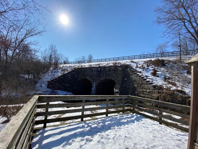
Before trains, trucks, and traffic lights, this crossing solved a very practical problem: people needed a reliable way across wet ground near the Raritan.
The National Register history ties the bridge to the Raritan Road, also known as the “Road up Raritan,” which had been formally laid out in 1684 along the north bank of the Raritan River, following an existing Indigenous trail.
That road connected Piscataway through Bound Brook and linked with other major routes, including what would become part of the Old York Road network. In plain English, this was one of the routes that helped people move across central New Jersey before central New Jersey had the road map we complain about today.
Farmers, tradesmen, millers, wagon drivers, and travelers needed this crossing because the area around the Bound Brook and Raritan River was marshy and awkward. A bridge and causeway here meant goods could move more predictably toward markets and river ports.
On the eve of the Revolution, Bound Brook itself was still small but lively, with about 35 houses, a blacksmith shop, two hotels, several taverns, a general store, and a church. That detail gives the bridge some human scale.
Picture wagons creaking over the arches, horses splashing through nearby mud, tavern talk carrying into the road, and someone grumbling about bridge repairs because New Jerseyans have probably been grumbling about infrastructure since the first plank was loose.
The bridge’s construction was authorized by colonial legislation, with costs shared between Somerset and Middlesex counties.
That shared expense says a lot. Both sides needed it. The Old Stone Arch Bridge was not ornamental. It was a piece of the everyday machinery that let colonial New Jersey function.
How railroads and asphalt buried one of America’s oldest bridges
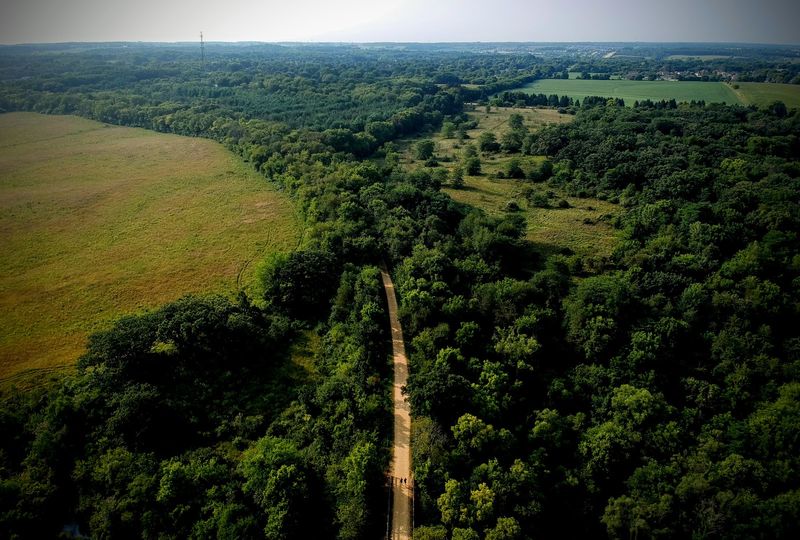
The bridge did not vanish all at once. It was slowly demoted.
That is usually how old places disappear in New Jersey: not with one dramatic demolition, but with a rerouted road here, a railroad embankment there, then a layer of asphalt that makes everyone forget what used to be underneath. During the 19th century, Bound Brook changed fast as railroads reshaped the river corridor.
The National Register documentation describes major railroad activity near the old causeway, including changes to the Green Brook channel and embankments that altered the landscape around the bridge. By the late 1800s, the bridge had already lost some of its importance as newer routes and crossings took over.
The old road over the causeway carried names such as Raritan Road, Plainfield Road, Raritan River Road, and Landing Road before eventually becoming Railroad Avenue, which is almost too on-the-nose.
The borough extended Main Street eastward in the 1890s to move traffic away from the busy rail corridor, and a new iron truss bridge was built nearby by 1895.
Over time, the old stone bridge’s roadway was widened, the streambed under it was filled, and the main road shifted to present-day Main Street. At that point, the bridge was no longer the star of the crossing.
It became buried infrastructure, preserved in the most accidental way possible. Asphalt and fill hid it, but they also helped shield much of it from the kind of rebuilding that erases old structures completely.
Somerset County now describes the bridge as “preserved” under asphalt for years, which is both funny and oddly true. It is not the preservation method anyone would plan, but the stones are still there.
The plan to bring this hidden landmark back into view
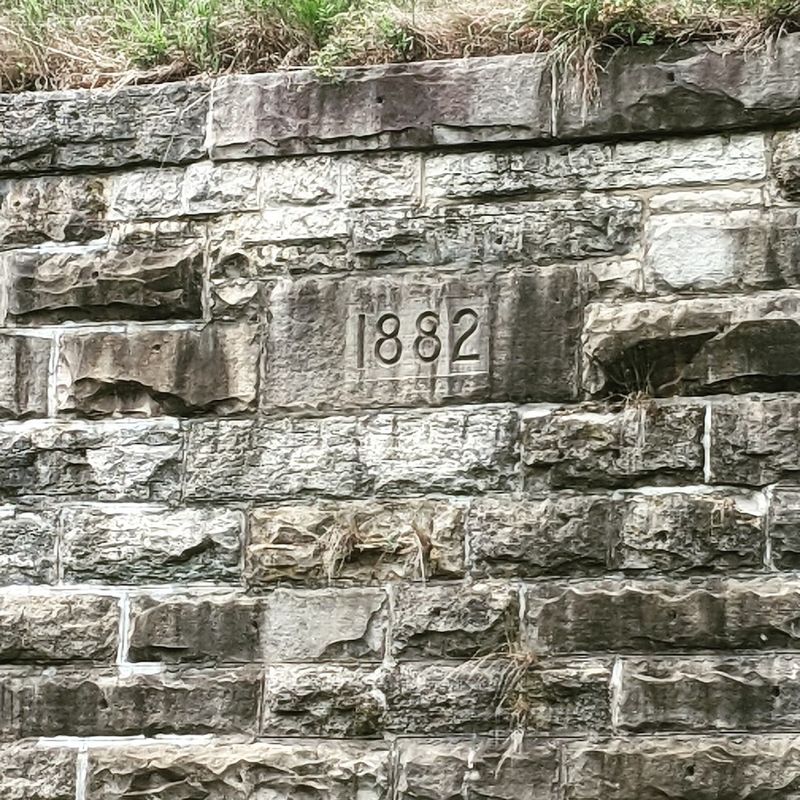
For once, the latest chapter is not just another sad story about a historic place being ignored until it crumbles. Somerset County and Middlesex County have moved to protect the property around the bridge, and the plan is to turn this overlooked piece of battlefield land into something the public can actually understand.
In 2023, Somerset County announced an agreement to purchase the roughly two-acre parcel where the Battle of Bound Brook took place, with the $3 million acquisition cost split with Middlesex County. At the time, the site was still being used as a trucking depot and was paved over, including the historic bridge itself.
The counties said the bridge was believed to be relatively intact and that they planned to uncover and preserve it. Somerset County’s later 250th anniversary planning materials add that the county officially acquired the property surrounding the bridge in July 2024 in collaboration with Middlesex County.
The site is now undergoing environmental investigation and remediation, with the county exploring a small “pocket park” that would interpret the bridge and explain why this compact, awkward, easy-to-miss place matters. That is the right scale for it.
The Old Stone Arch Bridge does not need faux-colonial fanfare or a giant welcome center to feel important. It needs room to breathe, signs that tell the truth clearly, and a setting where people can connect the buried stonework to the road, the brook, the battle, and the town around it.
Somerset County’s broader interpretive plan also aims to tell less-heard Revolutionary stories, including those of women, domestic life, servants, enslaved people, and rank-and-file soldiers. That approach fits Bound Brook well.
The bridge was never only about generals. It was built for ordinary movement, caught in extraordinary violence, then hidden under ordinary pavement.