Some Colorado roads get you somewhere fast. One gravel route south of Cripple Creek does the opposite, and that is exactly the point. It squeezes through old railroad tunnels, crosses aging trestles and passes the scattered remains of a camp that a flood erased more than a century ago.
Locals have traded spooky tales about it for generations, and the name alone tends to raise a few eyebrows. The drive costs nothing, skips the I-70 crawl and sits within an easy day trip of the Front Range. Keep reading for the history, the legends, the best stops and the practical tips that make this one of the most memorable backroads in the state.
1. A Backroad Between Penrose and Victor
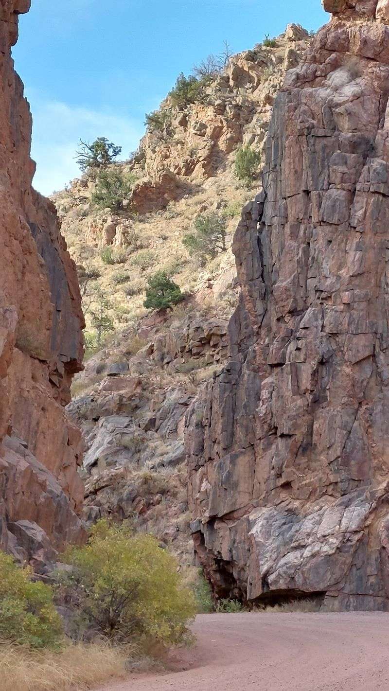
The road with the spookiest name in southern Colorado is Phantom Canyon Rd, a rugged route in Colorado that runs between the Arkansas River valley and the old gold camps of Teller County.
Its southern end begins north of US Highway 50 near Penrose and Florence in Fremont County. From there, it climbs roughly 30 miles north toward Victor, the historic mining town that sits just down the hill from Cripple Creek.
Most of the drive is unpaved. Expect gravel, dirt, sharp curves and stretches where only one vehicle fits comfortably at a time.
The route forms one leg of the Gold Belt Tour Scenic and Historic Byway, a loop that also includes Shelf Road and the High Park Road. Many Front Range drivers pair Phantom Canyon going up with Shelf Road coming down, turning the outing into a full loop.
Colorado Springs residents can reach the southern entrance in about an hour, and Pueblo folks are a similar hop away. That makes it a realistic Saturday plan with no hotel needed.
So what earned a quiet canyon road such an eerie label? The answer starts with a railroad.
2. Rails Before the Road
Long before anyone drove it, this canyon carried trains.
In the 1890s, the Cripple Creek gold rush created a huge demand for a link between the mines and the mills down near Florence. The Florence and Cripple Creek Railroad answered that call, laying narrow gauge track through the canyon in 1894.
The line hauled ore down and supplies up. For a while it was a busy lifeline for one of the richest gold districts in the country.
Nature had other plans. Repeated floods battered the grade, and a major washout in 1912 effectively ended service for good.
When the trains stopped, the railbed stayed. It was later converted into the auto road people drive today, which explains the gentle grades, the tight tunnels and the bridges that seem oversized for a gravel lane.
That railroad DNA is the secret to understanding the whole drive. Almost every curve follows a path surveyed for steam engines rather than cars.
Keep that in mind on the first sharp bend, because the past is about to show up in solid rock.
3. Where the Phantom Name Comes From
Ask five locals why it is called Phantom Canyon, and you might hear five answers.
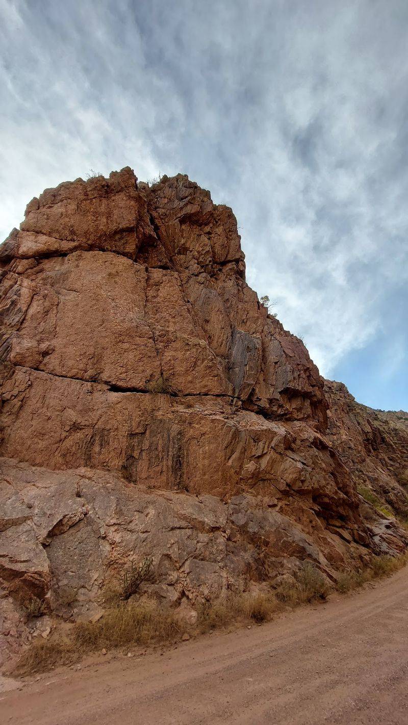
One popular explanation points to the canyon walls. Pale rock formations and shadowy outcrops can look like figures in low light, especially when clouds settle into the gorge.
Another version credits the canyon’s reputation for strange happenings after sundown. Tales of unexplained lights and figures along the old grade have floated around for decades.
Nobody has pinned down a single official origin, and that uncertainty is part of the fun. A name with a fuzzy backstory gives every storyteller room to add a chapter.
What is clear is that the label stuck. It shows up on maps, byway signs and plenty of Colorado road trip conversations.
For a drive built on an old railroad, the name feels fitting. The trains are long gone, yet their route still carries traffic, a little like a ghost that never quite left the job.
Of course, a name only goes so far. The real legends are tied to specific places along the road.
4. Legends Told Around Colorado Campfires
Every haunted road needs its stories, and this one has a healthy supply.
The most common tale involves a phantom train. Some locals claim to have heard or glimpsed signs of an engine moving along the grade, more than a century after the last real one ran.
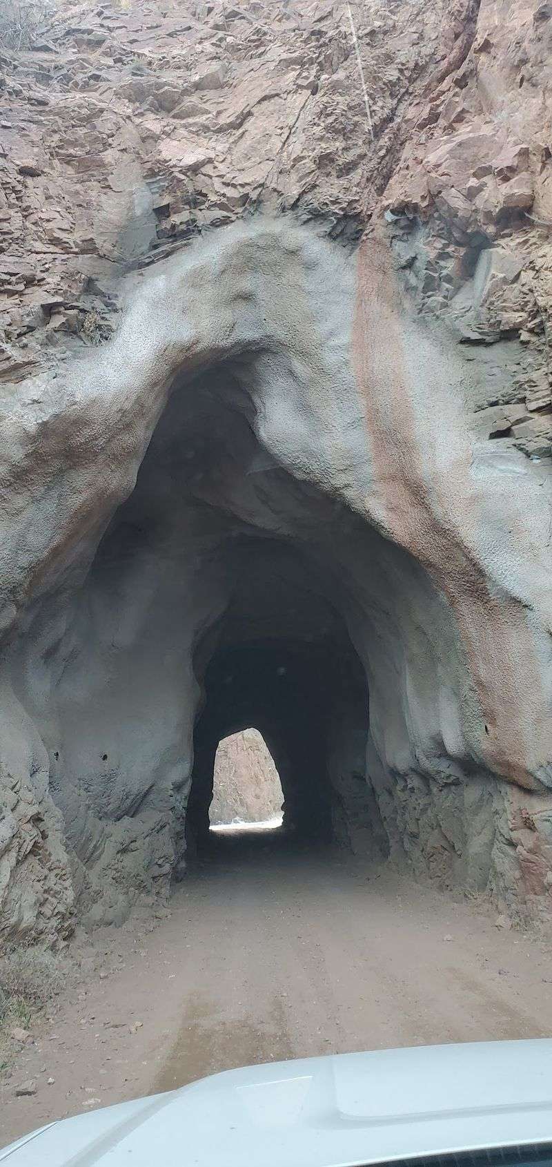
Others speak of shadowy figures near the tunnels and bridges. A few legends connect these sightings to railroad workers or prisoners from the Cañon City area, though none of the stories come with proof.
The old Adelaide site also attracts its share of whispers, which makes sense for a place that disappeared almost overnight.
It helps to treat these accounts as folklore rather than fact. They are part of regional storytelling, passed along by families, campers and longtime residents of Fremont and Teller Counties.
That said, the setting does a lot of heavy lifting. A narrow road, deep walls and no cell signal in places can make any noise feel like the opening scene of a mystery.
Believers and skeptics tend to agree on one thing. The stories land differently once the sun drops behind the ridge.
5. Adelaide, the Camp That Vanished
Blink and you will miss it, which is exactly what happened to the town itself.
Adelaide was a small railroad camp along the Florence and Cripple Creek line. It served the crews and operations that kept trains moving through the canyon.
In 1895, a powerful flood swept through and destroyed much of the settlement. The camp never recovered in any meaningful way.
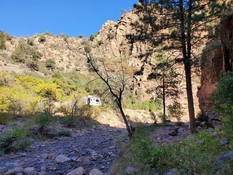
Today, very little remains. Look for a small historic cemetery area and a quiet clearing near the road, which offer a hint of where the community once stood.
Please treat the site with respect. Stay on established paths, leave everything where it is and keep the visit low-key.
For history fans, Adelaide is one of the most thought-provoking stops on the whole route. It shows how quickly a canyon can reclaim what people build in it.
It also helps explain why the road carries such a ghostly reputation. A town that existed, then simply did not, is the kind of detail that sticks.
From here, the drive shifts from lost places to engineering that somehow survived.
6. Two Tunnels Carved for Steam
Few things make a backroad feel historic faster than driving straight through a mountain.
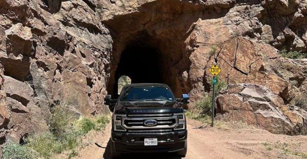
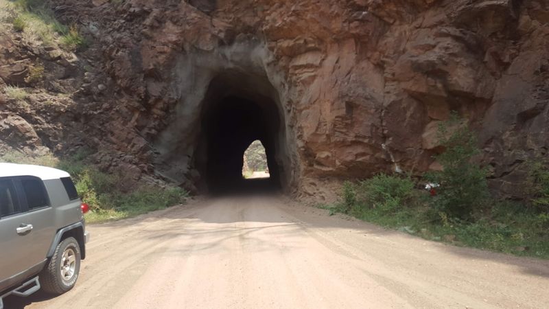
Phantom Canyon Road passes through two rock tunnels cut for the original railroad. They are narrow, rough-walled and sized for a train, not a modern pickup with wide mirrors.
Slow down before each entrance. Visibility can be limited, and oncoming traffic may appear with little warning, so a light tap of the horn is a common courtesy.
Photographers love these spots. The tunnel mouths frame the canyon nicely, and pulling over safely before or after offers a good chance for a picture.
The tunnels are also where many of the canyon’s spooky stories seem to gather. Something about a dark passage on an empty road invites the imagination to run wild.
Kids usually rank this part as the highlight. Adults often agree, though they may not admit it out loud.
Treat them as living history. Each one is a working leftover from 1894, still doing its job more than a hundred years later.
Next up, the road shows off its bridges.
7. Old Iron Bridges Over Eightmile Creek
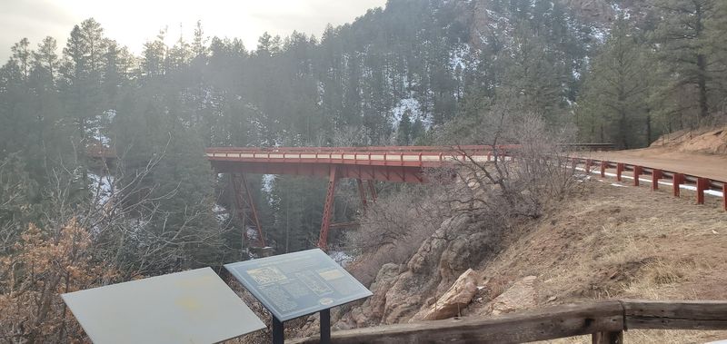
Railroad engineers did not mess around with flimsy crossings.
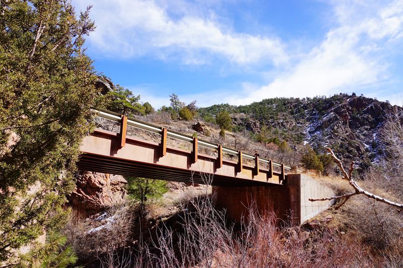
Several bridges along the route date to the railroad era, including steel truss spans that carried trains over Eightmile Creek and its side drainages. Some are listed for their historic value, and they remain part of the drive today.
Crossing them is slow and steady work. The decks are narrow, so one vehicle at a time is the rule of thumb.
Eightmile Creek itself follows much of the canyon. It is usually modest, but its history of flooding is the very reason the railroad struggled and Adelaide disappeared.
That contrast is worth a moment of reflection. A small creek on a calm day can still shape an entire canyon’s story.
Look for safe pullouts near the bridges to stretch your legs. Watch footing near the banks, and keep pets leashed.
History buffs will enjoy spotting the old construction details. Everyone else will simply appreciate that a nineteenth-century bridge still holds a twenty-first-century SUV.
Between the tunnels and trestles, the scenery keeps quietly changing.
8. Canyon Walls and High Country Views
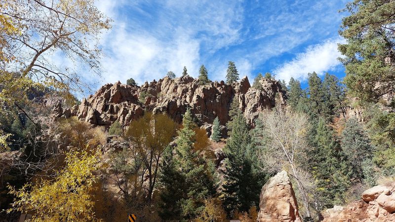
The canyon does not show off all at once. It reveals itself in chapters.
Near the southern entrance, the terrain is open and dry, with juniper and scrub on the hillsides. Farther north, the walls rise higher and the road tucks deeper into the gorge.
Toward the upper end, the route climbs out of the canyon and into higher country near Victor. Pine forests and broad mountain views take over as the elevation increases.
Wildlife is possible along the way. Bighorn sheep, deer and birds of prey are known to frequent the area, though sightings are never guaranteed.
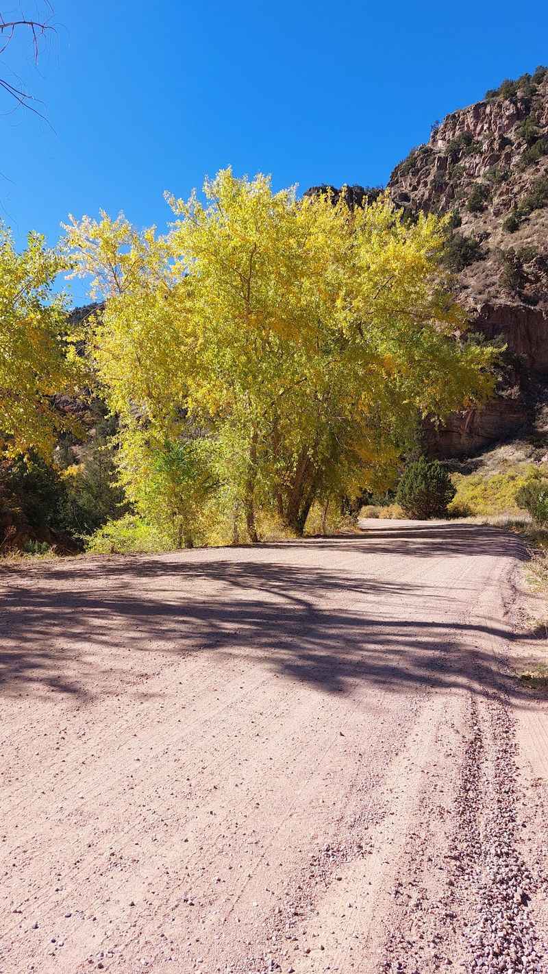
Fall can be a lovely time for the drive, with color in the creek-side trees and cooler temperatures. Spring brings green slopes but also a chance of muddy spots.
Bring a camera and plenty of patience. The best views often come right after a tight turn, so pulling over safely matters more than snapping on the fly.
The scenery is the quiet star here. Ghost stories may bring people in, yet the landscape is what tends to bring them back.
9. After Dark on a Gravel Road
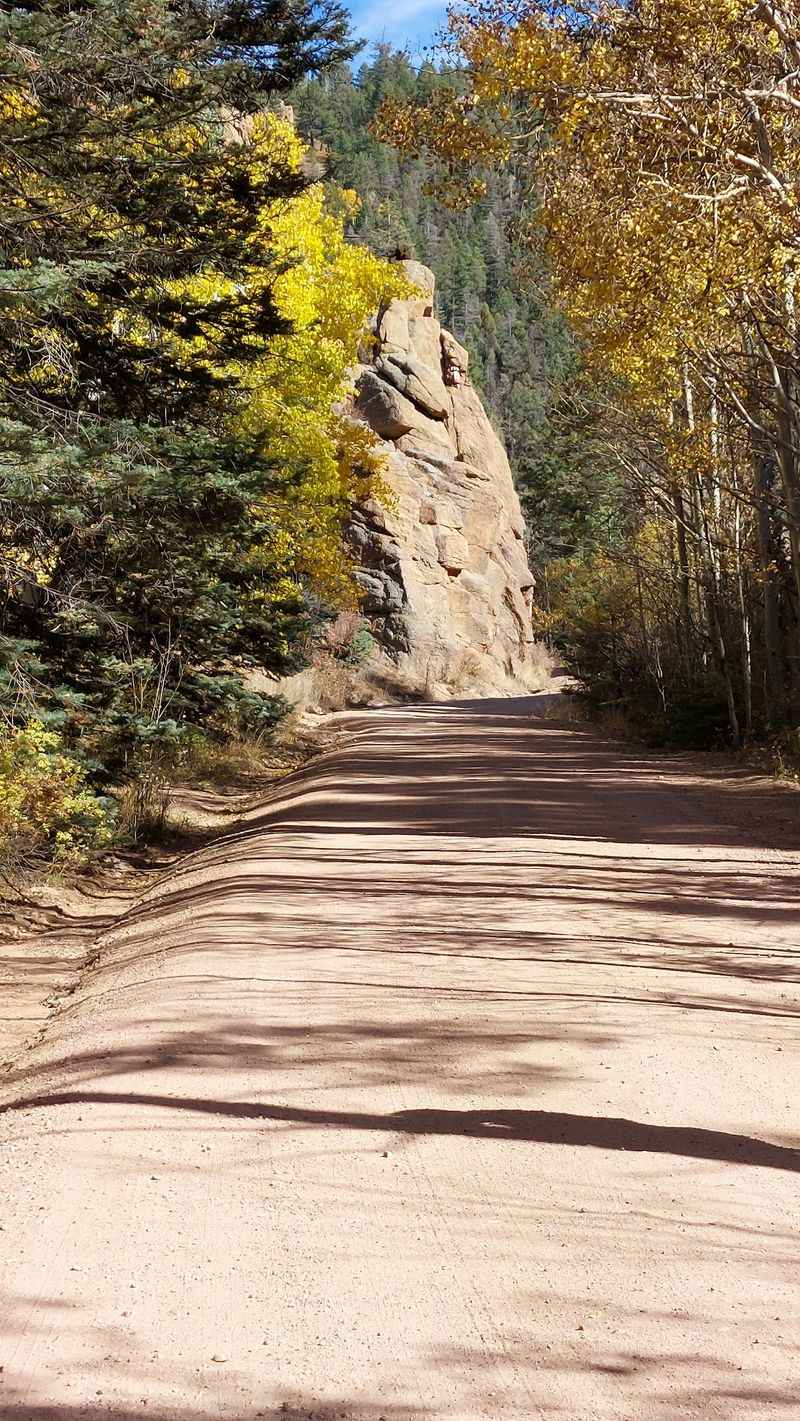
Here is the honest truth about chasing ghosts on this road. Daylight is the smarter choice.
The route has no streetlights, few guardrails and limited cell coverage in parts of the canyon. Narrow curves and one-lane stretches are tricky enough in full sun.
Many people time the trip so they reach the end around sunset. That way, the canyon’s moody side appears without driving the hardest sections in total darkness.
Once out of the gorge, the skies near Victor and the Gold Belt region can be impressively dark. Stargazers may find it a rewarding place to linger, from a safe and legal pullout.
The ghost stories, conveniently, travel well. They work just as effectively told back at camp or around the kitchen table once everyone is home.
Families with teens often find this the best compromise. Kids get their spooky evening, and parents get a stress-free drive.
Think of nightfall as the encore, not the main act. The legends linger in the mind long after the headlights leave the canyon.
10. Who Will Love This Drive Most
Not every outing needs a lift ticket or a reservation.
Retirees and fixed-income residents tend to appreciate this road for a simple reason. There is no entrance fee for the drive itself, so the main cost is fuel and maybe lunch in Victor or Cripple Creek.
Families looking for an easy adventure also do well here. The tunnels, bridges and legends keep kids engaged without a long hike.
History lovers get plenty of material too. Railroad grades, the Adelaide site and old mining country make it a rolling heritage lesson.
Couples planning a grown-up day away from the kids may enjoy pairing the drive with a meal or a stroll in Victor. It feels like a getaway without the price of a resort weekend.
The road is less ideal for anyone uneasy with heights, narrow passages or unpaved surfaces. Drivers who prefer smooth highways might want to ride shotgun instead.
Crowd-wise, weekdays and shoulder seasons can be noticeably quieter than summer weekends. That makes it a welcome change from the usual mountain traffic jams.
11. Vehicle Rules and Road Conditions
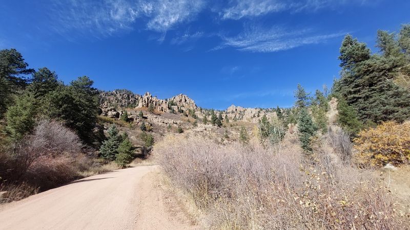
A little preparation keeps the adventure on the fun side.
Most passenger cars can handle the route in dry weather, though higher clearance offers extra peace of mind. Conditions change after storms, so washboard stretches, ruts or mud are possible.
Large RVs, buses and vehicles pulling trailers are not a good fit. The tunnels and tight curves simply were not designed for them.
Plan on about two hours to drive the full length, and more with photo stops. Speeds stay low for most of the trip.
Fuel up before you start. Services are scarce once you leave Penrose or Florence, and nothing waits along the road itself.
Pack water, snacks, a paper map and a spare tire check. Cell signal can drop out, so download directions in advance.
Winter and early spring may bring snow or ice, especially on the upper end near Victor. Checking current conditions with Fremont or Teller County sources before heading out is a smart habit.
Do the prep once, and the canyon handles the rest of the entertainment.
12. A Spooky Road Worth the Detour
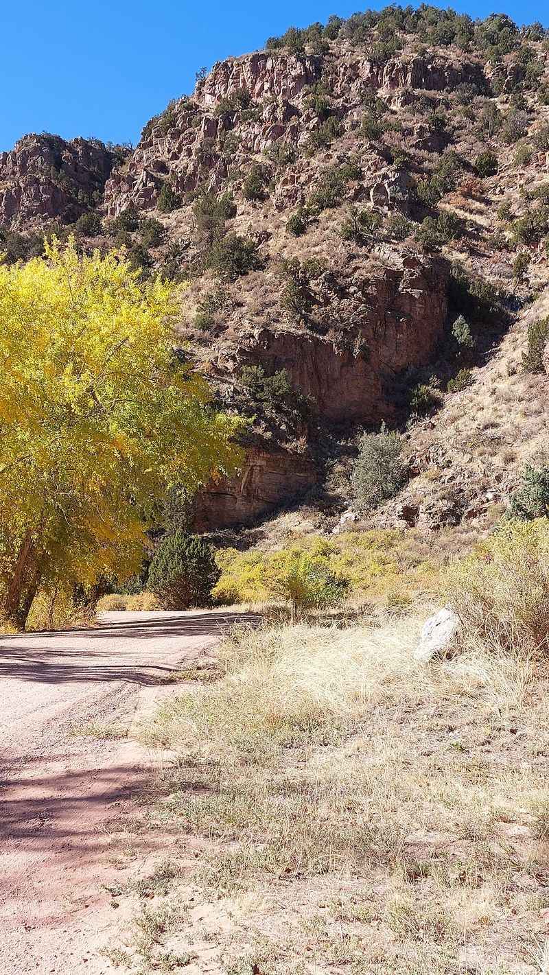
Some places earn their reputation slowly, one story at a time.
Phantom Canyon Road blends railroad history, a vanished camp, rugged scenery and a deep well of local legends into one affordable outing. It rewards slow drivers and curious minds.
The legends may or may not be true. The tunnels, bridges and the story of Adelaide are very real, and they give the drive its staying power.
For Front Range residents, it offers a close-to-home escape that skips the resort prices and the I-70 gridlock. A free road and a tank of gas can fill an entire day.
Pair it with Shelf Road for a full Gold Belt loop, or end with a wander around Victor’s historic streets. Either way, the trip feels bigger than its mileage.
Start early, drive slowly and leave the canyon a little better than you found it. Respect the history, and the history tends to return the favor.
Just do not be surprised if a story from the canyon follows you home. That seems to be the road’s favorite trick.
Share this story