Seven residents, 24 square miles, and enough empty road to make you wonder whether you accidentally crossed into another century. That was Walpack Township’s official count in the 2020 Census, giving this rural Sussex County municipality the smallest population in New Jersey.
The word “town” requires a tiny clarification: Walpack is legally a township, and it is not completely abandoned.
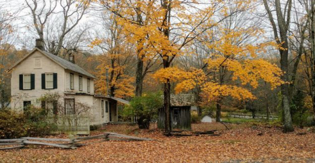
Still, the label “ghost town” makes sense once you reach Walpack Center, where a white church, an old schoolhouse, a former general store, and a handful of homes stand along a road that barely stretches a quarter mile.
The silence is not the result of a mine closing or a railroad changing course. Walpack was emptied largely because the government expected much of the Delaware River Valley to disappear beneath a reservoir.
The water never came, but most of the people never returned, leaving behind one of New Jersey’s strangest and most compelling historical landscapes.
The Seven-Person Township Hidden in Sussex County
A technicality matters here because Walpack is not a village with seven people squeezed onto one short block. It is a full New Jersey municipality covering roughly 24.2 square miles in the western reaches of Sussex County, with the Delaware River forming its western boundary.
The 2020 Census counted seven residents across that enormous patch of forest, ridge, stream, and old farmland. That works out to fewer than one-third of a person per square mile, a population density that feels almost impossible in a state famous for turnpike traffic and packed commuter towns.
Walpack’s official population also makes it New Jersey’s smallest municipality, not merely one of its smallest. The next time someone complains that everybody in the state knows everybody else’s business, Walpack provides the exception.
The people still living within the township are real residents, however, and that is why calling the entire place abandoned misses part of the story.
Walpack retains a municipal government, a township building, public records, and all the administrative machinery required of a New Jersey township, only on a scale that would make most town councils look like mass gatherings.
The better-known “ghost town” is Walpack Center, the preserved historic cluster near Flat Brook. Beyond it, the township spreads through land now largely contained within Delaware Water Gap National Recreation Area.
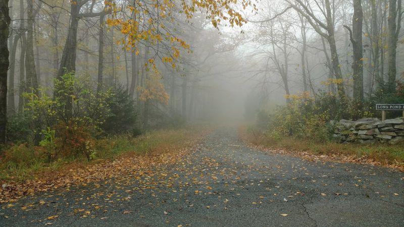
Forest has reclaimed former fields, old lanes disappear behind vegetation, and houses that once stood within sight of one another are gone. The small population number grabs attention, but Walpack’s real oddity is its size.
This is not a tiny borough built around one intersection. It is a broad, beautiful piece of northwestern New Jersey where nearly all the human activity was deliberately removed, leaving the municipality intact on paper while the landscape around it changed completely.
Walpack Once Thrived in the Delaware River Valley
Long before empty buildings became its calling card, Walpack served farmers, travelers, ferry passengers, and families scattered through the Flat Brook Valley.
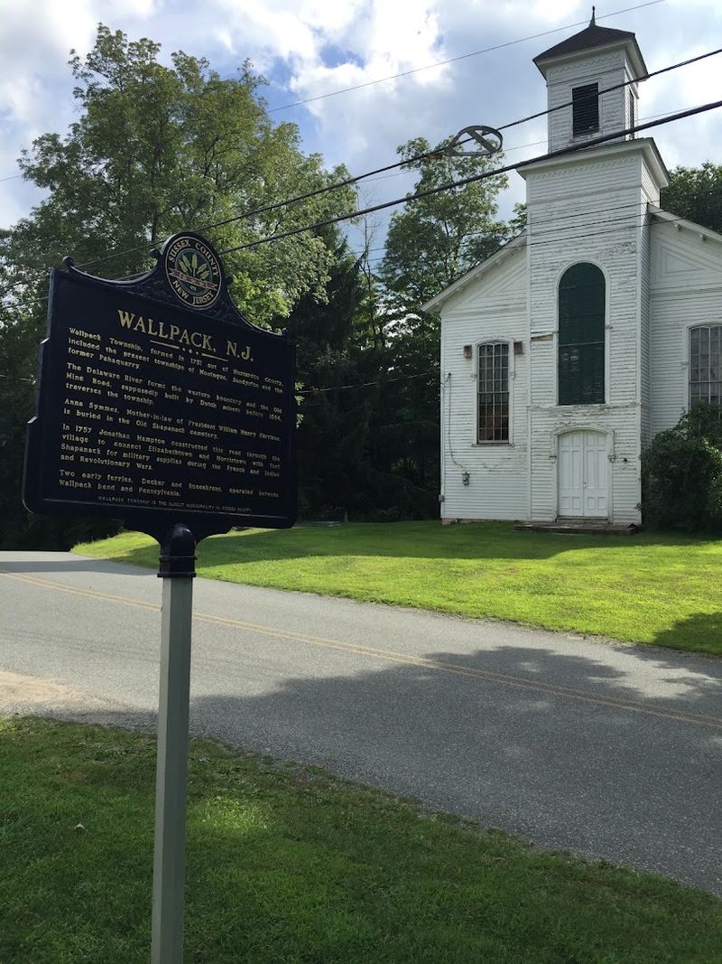
The township was formed in 1731, decades before Sussex County itself was established, and originally covered a much larger territory that included present-day Montague, Sandyston, and the former Pahaquarry Township.
Its boundaries eventually shrank, but Walpack remained an important rural crossroads between the Kittatinny Mountains and the ridges separating Flat Brook from the Delaware River. Old Mine Road passed through the area, following a route whose exact origins are still debated.
Local tradition credits early Dutch miners, while modern historical interpretation suggests that existing Lenape and colonial paths gradually widened into a working road. Either way, farmers used the corridor to move crops, supplies, and news through a valley that could otherwise feel remarkably isolated.
By the mid-1800s, Walpack Center had developed into the kind of small service village common across agricultural New Jersey. It offered a church, school, store, post office, and nearby homes within easy reach of surrounding farms.
Saturdays would have brought more movement as residents collected mail, bought necessities, and caught up with neighbors. The village never became large, but it did not need to.
Its job was to provide the basics in a place where the nearest bigger town sat beyond a ridge or several miles of rough road. One especially unexpected brush with fame came in 1932, when Henry Ford’s company filmed outside the Walpack Post Office while promoting its automobiles and new V-8 engine.
At the time, the post office and adjoining general store still served more than 100 customers. Walpack was quiet, certainly, but it was connected, useful, and very much alive.
The Tocks Island Dam Plan Put the Community on Borrowed Time
The turning point arrived after two hurricanes struck the eastern United States within days of each other in August 1955.
Connie and Diane sent rivers and streams over their banks, causing catastrophic flooding throughout the Delaware watershed and killing nearly 100 people along Pennsylvania’s Brodhead Creek alone.
The disaster revived a plan for a major dam on the Delaware River near Tocks Island, south of Walpack. Supporters presented the project as an answer to several problems at once.
The dam was expected to reduce flood danger, provide water during droughts, generate electricity, and create a vast recreation lake within driving distance of New York and Philadelphia. On a planning map, the proposal looked impressively efficient.
On the ground, it placed generations of Delaware River Valley families directly in the way. The proposed reservoir would have extended approximately 40 miles and measured about a mile across in places.
Farms, roads, cemeteries, houses, and small communities within the future flood zone had to be acquired before construction could begin. Walpack’s position near the river made its future especially uncertain.
Once federal agencies started purchasing land during the 1960s, investing in a house, business, or farm there made little sense. Why repair a barn expected to be underwater?
Why reopen a store when its customers were being relocated? Even properties outside the deepest part of the proposed reservoir were affected as the surrounding population vanished.
The dam did not empty Walpack in a single dramatic moment. Instead, the community entered a drawn-out period of waiting, with each sale weakening the institutions that remained.
Roads grew quieter. Buildings lost their purpose.
Neighbors disappeared one household at a time. Long before engineers poured any concrete, the project had already transformed the township into a place living on borrowed time.
Families Left Their Homes for a Reservoir That Never Came
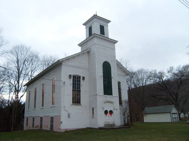
For the people who lived in the valley, the land-acquisition process was not an abstract planning exercise. About 600 families and property owners throughout the proposed reservoir area were displaced, including households whose connections to the land reached back centuries.
Some sold reluctantly because they believed the project was inevitable. Others fought the acquisitions or stayed as tenants after the government took ownership.
Federal agencies occasionally rented purchased houses on a short-term basis, creating the bitter situation of former owners watching newcomers occupy land that officials had said needed to be cleared. Meanwhile, the dam itself became increasingly controversial.
Scientists questioned the environmental effects of turning a free-flowing section of the Delaware into a long, slow-moving reservoir. Residents challenged the human cost.
Engineers raised concerns about geology and construction expenses, while state and local officials faced the price of roads, services, and infrastructure for the millions of visitors expected to use the proposed lake.
Opposition that had begun with a few voices during the 1960s grew much louder by the early 1970s.
In 1975, the Delaware River Basin Commission voted to shelve the dam. The decision saved the river, but it came too late to restore the communities dismantled in preparation for it.
Houses had deteriorated or been removed, farms had stopped operating, and families had established new lives elsewhere.
The government transferred the acquired land to the National Park Service, helping create today’s roughly 70,000-acre Delaware Water Gap National Recreation Area and protecting about 40 miles of free-flowing river.
Walpack remained above water, yet it had already lost the population and economic life that once sustained it. That is the unsettling heart of the story: the township was sacrificed for a reservoir that existed only in proposals, surveys, and expectations.
Historic Walpack Center Survived the Township’s Near Disappearance
Drive into the center today and the surviving buildings appear almost arranged for a film set, except the details are too plain and practical to be theatrical. The historic district occupies a single short street running for less than a quarter mile near Flat Brook.
A white Methodist church rises above the smaller buildings, joined by the schoolhouse, former general store and post office, the Rosenkrans House, and several modest frame homes. The church was built in 1871 to replace an earlier stone structure dating to 1837.
The simple clapboard schoolhouse dates to around the mid-1800s, while the First Rosenkrans House, now used as a small museum, was constructed around 1830 to 1840. None of the buildings looks grand, which is exactly why the village works so well as a historical place.
Walpack Center was designed to serve farm families, not impress wealthy visitors. Its houses are compact, its storefront is straightforward, and its entire commercial district could be passed in seconds by a driver who is not paying attention.
The Walpack Center Historic District joined the National Register of Historic Places in 1980, recognizing it as a rare surviving example of a rural service center from the 19th and early 20th centuries. Preservation has not meant turning every doorway into a daily attraction.
The Walpack Historical Society opens the Rosenkrans Museum, church, schoolhouse, general store, and other buildings during scheduled events, with volunteers explaining how the township functioned before the buyouts. The nearby Van Campen Inn adds another layer to the visit.
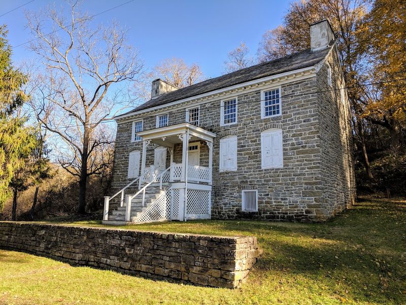
Built originally as a farmhouse, it later sheltered travelers along Old Mine Road and can be reached from Walpack Center by the roughly one-mile Military Road Trail. Together, the sites make the township feel less like an abandoned town and more like a community paused mid-sentence.
How to Explore New Jersey’s Smallest Municipality Today
Walpack rewards visitors who arrive prepared for a quiet historic landscape rather than a conventional attraction. There is no busy downtown loop, no row of souvenir shops, and no guarantee that the museum doors will be unlocked when you pull up.
The historic buildings are generally opened only for Walpack Historical Society programs, which run on selected dates from after Memorial Day through October.
During scheduled events, visitors may be able to step inside the Rosenkrans Museum, Methodist church, schoolhouse, former general store and post office, and Van Campen Inn.
At other times, Walpack Center is primarily an outdoor stop where the surviving structures can be viewed respectfully from public areas. Road planning matters more than usual.
In 2026, the Main Street bridge over Flat Brook beyond Walpack Center remains closed because of structural damage, so drivers cannot assume they can continue through toward Mountain Road.
A northern stretch of Old Mine Road between Jager Road and Route 206 is also closed for rehabilitation through at least late summer, and other nearby roads periodically close because of construction, storm damage, or landslides.
Checking current park conditions before setting out prevents a scenic drive from turning into a long and confusing backtrack. Cell service is limited throughout Delaware Water Gap National Recreation Area, making downloaded maps far more dependable than a phone signal.
Once parked in a designated area, spend time walking the short village street rather than treating Walpack as a drive-by curiosity. Look closely at the old storefront windows, the church’s tall frame, and the scale of the schoolhouse.
The Military Road Trail reaches Van Campen Inn in about a mile, while Buttermilk Falls sits roughly 2.5 miles from Walpack Center on foot.
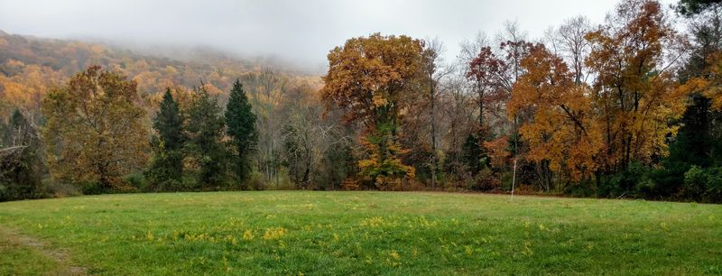
The surrounding forest may feel empty, but every foundation, field edge, and fading road hints at the community that was removed before the river received its unexpected reprieve.
Share this story