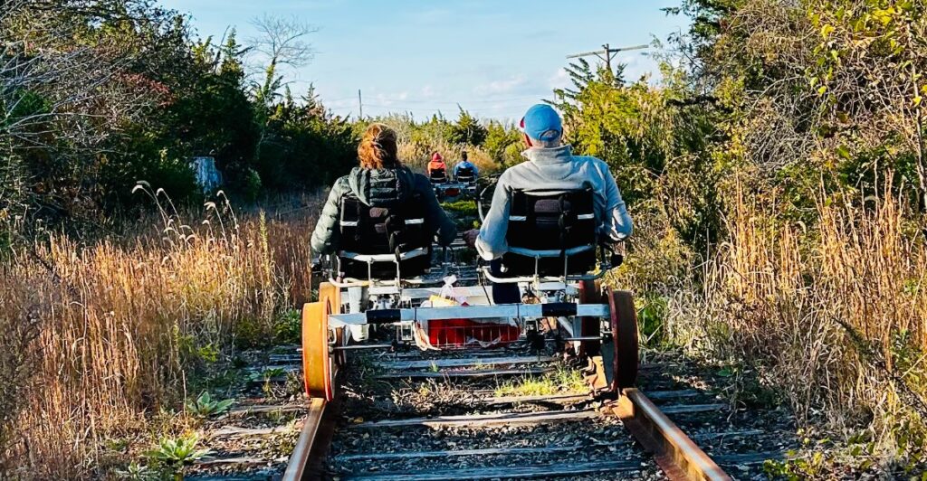
A bicycle rolls beneath a concrete railroad viaduct, a hiker passes the remains of a rural station, and four friends pedal an unusual contraption toward the Cape May Canal. Trains may have disappeared from these corridors, but the routes have not gone quiet.
Across New Jersey, former rail lines have become wooded trails, paved neighborhood paths, horseback-riding routes, and even tracks for pedal-powered railbikes.
Their original builders did outdoor adventurers a favor: railroads required gentle grades, direct routes, and sturdy bridges, all of which translate beautifully into modern recreation.
Some of these outings stretch for more than 20 miles, while others offer a compact walk that slips surprisingly far from suburban traffic. Along the way are river gorges, salt marshes, preserved trestles, station remnants, and interpretive signs that reveal what once traveled through.
Lace up, bring a bike, or reserve a railbike seat—New Jersey’s old railroad corridors are moving people again.
1. Bike Through Ken Lockwood Gorge on the Columbia Trail
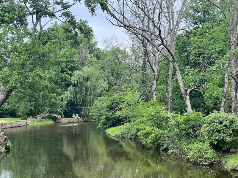
A freight train once carried iron ore across this route; today, bicycles roll beneath leafy branches while the South Branch of the Raritan River flashes through the trees.
The Columbia Trail follows the former High Bridge Branch of the Central Railroad of New Jersey for roughly 15 miles between High Bridge and the Bartley section of Washington Township.
Its crushed-stone and natural surface is generally flat, making it a fine choice for cyclists who want distance without a day full of punishing climbs. Wider tires handle the occasional gravel and rough patch more comfortably than skinny road-bike tires.
The showpiece arrives near Ken Lockwood Gorge, where the former rail bed curves above one of New Jersey’s prettiest river landscapes. Steep wooded slopes, boulders, hemlocks, and rushing water make this section feel far removed from nearby towns.
An elevated bridge carries the trail across the river, adding a little drama without requiring a difficult ascent. Start in High Bridge if you want easy parking and the option to explore town before or after the ride.
Lake Solitude and its waterfall are nearby, while Califon offers another appealing turnaround point for a shorter outing. The full route rewards cyclists with woods, wetlands, small-town scenery, and occasional reminders of its industrial past.
It is especially striking during fall foliage, though the shaded corridor is equally welcome on a warm summer morning.
2. Hike Beneath the Paulinskill Viaduct on the Paulinskill Valley Trail
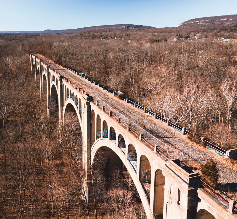
The enormous arches of the Paulinskill Viaduct appear through the trees like something left behind by a vanished civilization.
Rising high above the valley near Hainesburg, the concrete structure is the unforgettable landmark on this 27-mile rail trail through Sussex and Warren counties.
The trail passes beneath it, giving walkers and cyclists a close view of a railroad engineering marvel that once carried trains across the valley. The route itself occupies the former New York, Susquehanna and Western Railway corridor beside the Paulins Kill.
Trains stopped using the line decades ago, leaving a long, mostly level passage through farmland, wetlands, woods, and small communities. Old bridge abutments, station sites, and other railroad remnants surface along the way, often half absorbed by vegetation.
That mix of nature and forgotten infrastructure gives the trail its adventurous edge. Conditions vary, so this is not the place for a delicate road bike.
Packed dirt, crushed stone, grass, roots, and muddy sections can all make appearances, particularly after wet weather. Hiking, mountain biking, horseback riding, and cross-country skiing are better fits for its rugged personality.
For a manageable outing, choose a short segment around Blairstown, Stillwater, or the viaduct rather than tackling the full distance. Anyone going farther should carry water and basic supplies because services are limited along parts of the corridor.
The reward is a quiet trip through a corner of New Jersey where the railroad past never feels entirely gone.
3. Explore Lakes and Farmland on the Sussex Branch Trail
Iron ore, not tourists, put this corridor on the map. The original Sussex Mine Railroad carried material from North Jersey’s mines toward the Morris Canal, beginning a transportation story that eventually produced today’s 20-mile Sussex Branch Trail.
Now the traffic consists of hikers, cyclists, horseback riders, and the occasional cross-country skier gliding between Newton and Byram. Variety is the big draw.
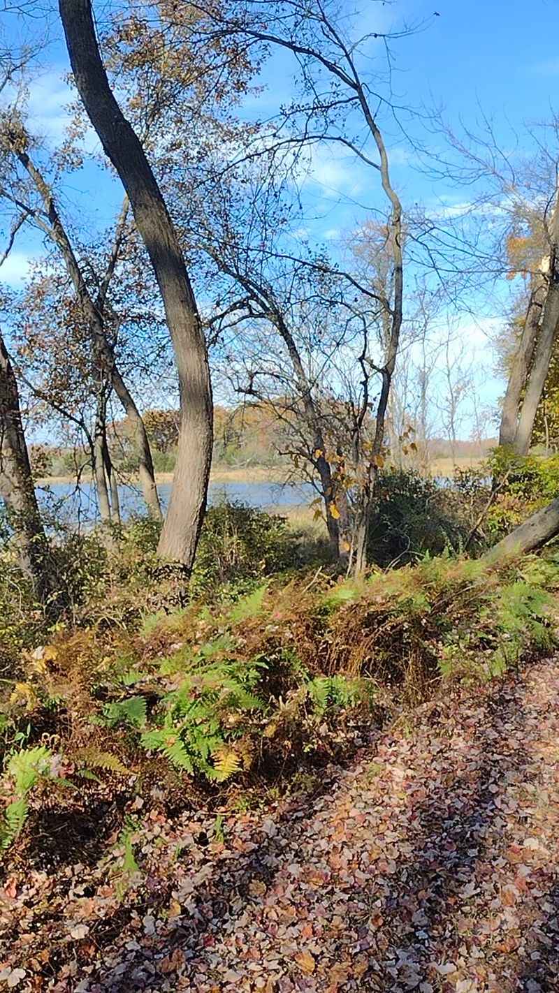
One stretch cuts through cool woodland; another opens beside farms, marshes, and ponds. Around Kittatinny Valley State Park, the route passes near lakes and connects with additional paths, making the park a practical base for a longer day outdoors.
The intersection with the Paulinskill Valley Trail also creates the rare chance to build a multi-trail adventure without touching much pavement. Despite its railroad-grade profile, the Sussex Branch is not consistently smooth.
The natural surface can include gravel, grass, roots, and wet or rutted patches. A mountain bike or sturdy hybrid is the sensible choice, and hikers should wear shoes they do not mind getting muddy.
Road crossings and a few interruptions require attention, so keeping a map handy is wise. Those rough edges are part of the fun.
This feels less like a manicured suburban greenway and more like a route discovered rather than designed. Watch for old cuts through the landscape, traces of railroad engineering, and sudden lake views.
In autumn, the combination of colorful woods and open Sussex County farmland makes the trail especially hard to beat.
4. Pedal Along Sandy Hook Bay on the Henry Hudson Trail
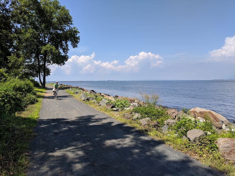
Salt marshes, wooded neighborhoods, open fields, and a stretch beside Sandy Hook Bay all fit into one former railroad right-of-way.
The Henry Hudson Trail covers approximately 24 miles in separate northern and southern sections across Monmouth County, allowing visitors to choose between shoreline scenery and a more rural inland ride.
For the signature experience, head to the northern portion. Much of it follows a paved, tree-lined corridor from the Aberdeen and Keyport area toward Atlantic Highlands.
After an on-road connection, the trail resumes near the Atlantic Highlands Marina and hugs the bay toward Popamora Point. Here, the view widens across the water, with boats, seabirds, and the hills around the harbor replacing the walls of greenery found farther west.
It is a satisfying place to pause before turning back. The southern sections travel through Marlboro and Freehold, passing woods and fields with fewer shore-town distractions.
Because the grade is gentle and much of the trail is paved, it works well for families, casual cyclists, runners, and anyone who prefers an easygoing outing. Road crossings still require care, and the disconnected segments mean riders should study the route before attempting a long trip.
Construction in Port Monmouth has also created a posted detour along part of the northern section, so check current access information before setting out. Even with that wrinkle, few New Jersey rail trails change character so dramatically within one system.
5. Ride the Historic Shore Route on the Pleasantville-Somers Point Bike Path
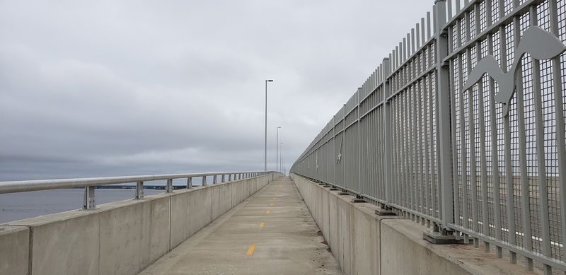
There was a time when electric interurban trains hurried toward the shore along this corridor. The Atlantic City and Shore Railroad, better known as the Shore Fast Line, connected Atlantic City with mainland communities and once continued across the bay to Ocean City.
Its rails are gone, but the route remains useful as an approximately eight-mile paved path linking Pleasantville, Northfield, Linwood, and Somers Point. Unlike the state’s more secluded rail trails, this one moves directly through lived-in neighborhoods.
Backyards, playgrounds, schools, parks, and local businesses sit close to the path, so it feels as much like a community main street as a recreational escape. That also makes planning easy.
Food, restrooms, and places to take a break are rarely far away, and the frequent crossings divide the ride into manageable pieces. Cyclists can cover the full route without much difficulty because the old rail grade stays comfortably level.
Walkers may prefer a shorter out-and-back from Linwood or Somers Point, where the southern end puts the Great Egg Harbor Bay within reach. From Somers Point, experienced riders can extend the adventure toward the Route 52 bridge path and Ocean City, adding broad water views to the day.
The many street crossings prevent this from being a nonstop speed ride, but that is not really its purpose. Take it at a relaxed pace, watch for traffic at intersections, and enjoy seeing how thoroughly a former railroad has been woven back into everyday life.
6. Follow an Old Seashore Railroad on the Middle Township Bike Path
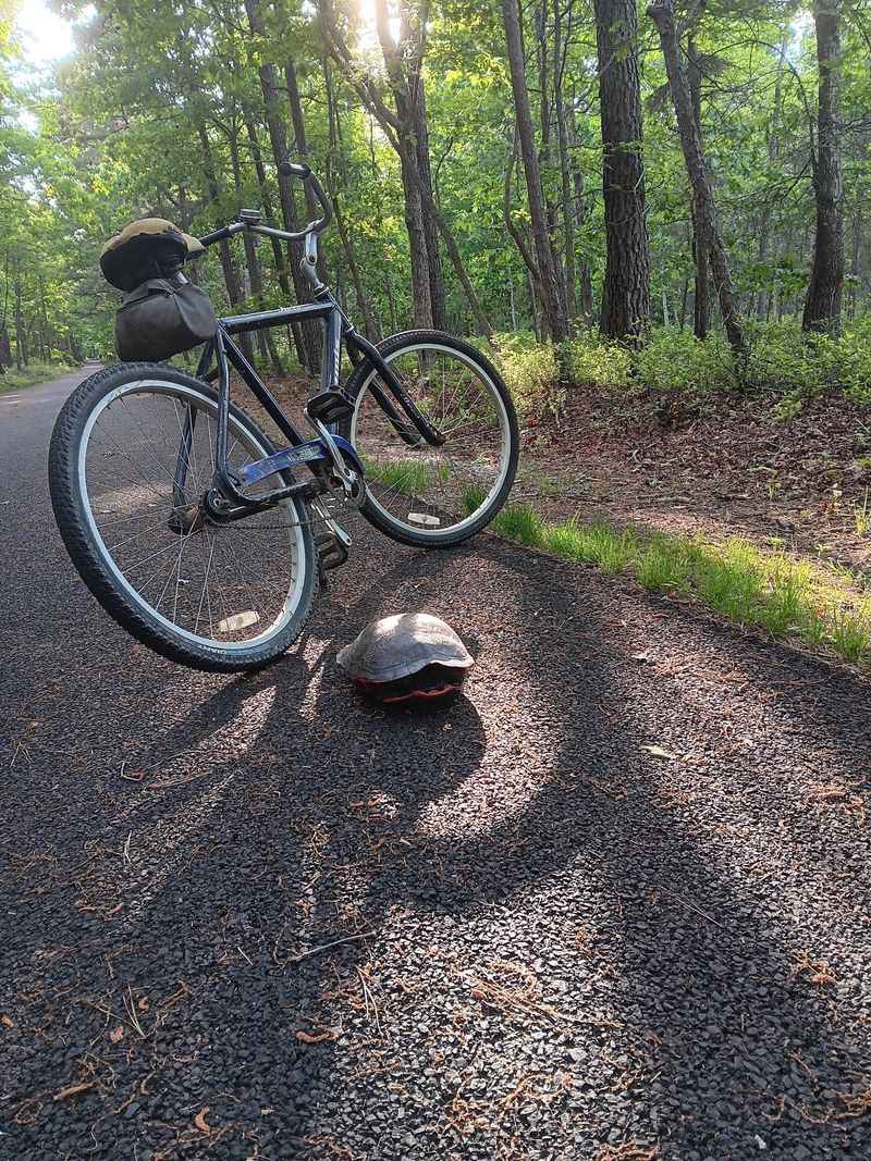
A zoo is an unusual destination for a rail-trail ride, but that is precisely what makes this Cape May County route such an easy day trip to remember.
The Middle Township Bike Path follows an old railroad bed through Cape May Court House and continues north to Cape May County Park and Zoo, where cyclists can park the bike and spend a few hours among giraffes, lions, snow leopards, and other animals.
The paved path runs roughly five miles from Whitesboro to the county park, with additional local connections expanding the possibilities. Its level surface suits families and recreational riders, and the route passes community facilities such as the Davies Sports Complex, the 4-H fairgrounds, and Atlantic Cape Community College.
The setting changes between wooded strips and developed areas, providing shade without making the path feel isolated. Starting near the zoo creates the simplest plan for families: ride south for as long as everyone is comfortable, turn around, and finish with a visit to the free-admission attraction.
More ambitious cyclists can use surrounding paths and connectors to build a longer Cape May County ride.
The trail network continues toward Lower Township and the Delaware Bay side of the peninsula, though anyone attempting an extended route should map the connecting sections in advance.
Because this is a multiuse community path, expect walkers, joggers, and other cyclists, especially near the park. Slow down at crossings and busy access points.
The adventure is not technically demanding; its charm comes from combining a railroad route, an easy bike ride, and one of South Jersey’s favorite family stops.
7. Discover Pine Barrens Railroad History on the Barnegat Branch Trail
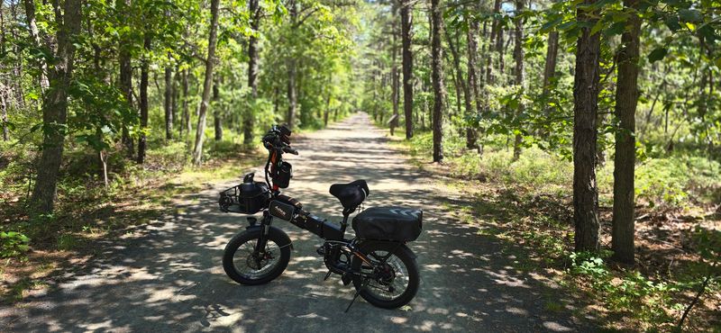
Blue Comet trains once rushed along this corridor on their way between North Jersey and Atlantic City.
That glamorous chapter is over, but Ocean County has preserved the line’s story along the Barnegat Branch Trail, a developing rail-to-trail route planned to stretch approximately 15.6 miles between Barnegat and Toms River.
History is unusually visible here. Interpretive signs mark former stations, railroad facilities, hotels, waterways, and industrial sites, turning a walk or ride into a self-guided tour.
Around Barnegat, visitors can learn about the old turntable, water tower, glassworks, and the celebrated Blue Comet. Farther north, the corridor reveals links to Double Trouble, Cedar Creek, Forked River, and the towns that grew beside the tracks.
Even when no original building remains, the signs help reconstruct what once stood beside the rails. Completed portions combine paved and crushed-stone surfaces, passing through pine woods, residential areas, and pockets of wetland.
The grade is forgiving, though the route is not yet one perfectly continuous ribbon. Gaps and road crossings mean visitors should select a finished section in advance instead of assuming they can travel straight from one end to the other.
The southern stretches around Barnegat offer the densest concentration of obvious railroad history, while sections farther north lean into Pine Barrens scenery. Bring a bike for greater range or explore on foot if you want time to read every marker.
Either way, this is a trail where the backstory matters as much as the mileage.
8. Cycle the Rural Union Transportation Trail
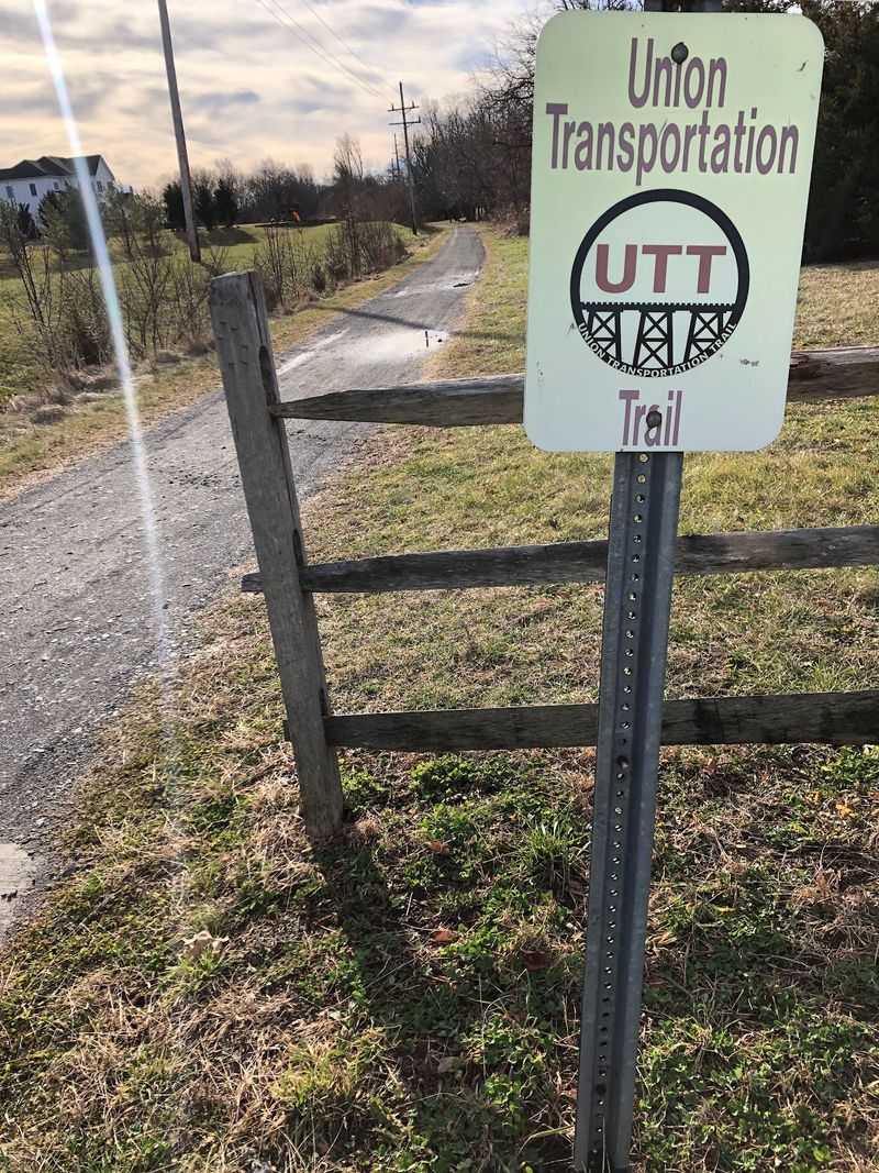
A wooden trestle over Lahaway Creek is one of the few surviving structures from the railroad that once served this quiet stretch of western Monmouth County.
Cross it today, and the view is not of locomotives or freight platforms but water, trees, and the broad agricultural landscape of Upper Freehold Township.
The nine-mile Union Transportation Trail occupies the former Pemberton and Hightstown Railroad right-of-way. Established during the 1860s, the line helped area farms and dairies reach larger railroad networks.
Passenger trains disappeared in the early 20th century, while freight service held on much longer. Its second life began as a gravel recreation path designed for cyclists, hikers, runners, and horseback riders.
This is the trail to choose when you want room to breathe. Fields stretch beyond the corridor, horses are a common sight, and traffic noise fades for long intervals.
Miry Run Creek, Lahaway Creek, wooded patches, and the historic trestle provide natural breaks in the farmland scenery. The flat grade makes the full out-and-back approachable for regular cyclists, although gravel and occasional loose sections favor wider tires.
Several parking areas let visitors adjust the distance easily, including access points near Millstream Road, Jonathan Holmes Road, Route 539, and Sharon Station Road. Start near Millstream Road if crossing the trestle is your priority.
There are few businesses directly beside the trail, so pack water and a snack. The lack of commercial interruptions is exactly what gives this old transportation line its calm, open-country appeal.
9. Walk the Former Erie Railroad on the West Essex Trail
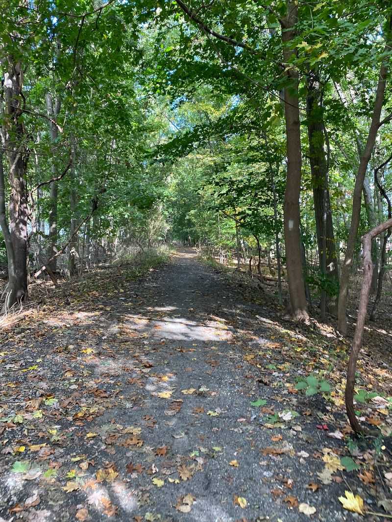
Suburbia almost disappears a few minutes after stepping onto this short Essex County trail. Dense woodland closes around the former railroad bed, the ground turns uneven, and the corridor heads toward a trestle above the Peckman River.
All the while, busy roads and neighborhoods remain surprisingly close. Running just under three miles between Verona and the Essex–Passaic county line in Little Falls, the route follows part of the old Erie-Lackawanna Railroad’s Caldwell Branch.
It also overlaps with the longer Lenape Trail for much of its distance, making it possible to continue exploring beyond the rail corridor.
The bridge across the Peckman River is the defining feature, while the elevated crossing near Route 23 provides another clear reminder that this narrow green strip once carried trains.
Do not mistake the modest mileage for a perfectly polished stroll. Roots, rocks, mud, and erosion can make portions of the path more demanding than its flat profile suggests.
Hiking shoes are a better choice than spotless sneakers after rain, and mountain bikes are more suitable than road bikes. The trail also crosses several streets, requiring attention whenever the trees open onto pavement.
Primary access is available near Fairview Avenue in Verona, close to the high school and Cedar Grove Community Park. From there, an out-and-back covers a satisfying distance without consuming the entire day.
It is a particularly good option when you want a little railroad history and woodland scenery without driving to the state’s rural northwest corner.
10. Railbike Through Cape May on the Revolution Rail Co. Route
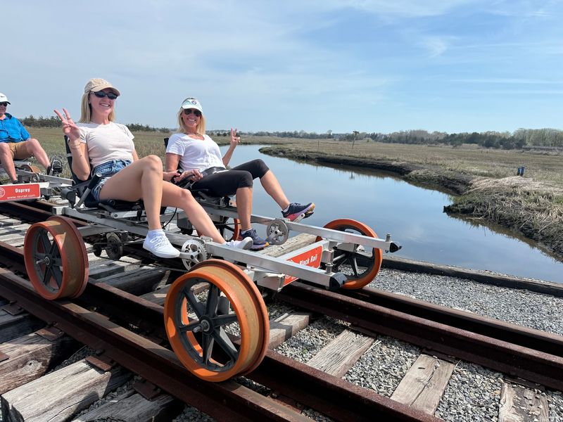
Here, the rails are still in place—and you provide the power. Revolution Rail Co.’s Cape May Run uses pedal-powered railbikes on a historic railroad corridor extending from downtown Cape May toward the Cape May Canal.
Instead of steering, riders simply pedal while flanged wheels keep the bike locked onto the track. It feels part bicycle ride, part train trip, and just strange enough to make everyone grin.
The guided outing covers four miles round trip and lasts about 90 minutes. After leaving from behind the Cape May Welcome Center on Lafayette Street, the route passes colorful railcar murals and travels beside the Garrett Family Preserve.
Native wildflower meadows, coastal wetlands, and open skies replace the Victorian streets, with opportunities to spot songbirds, raptors, butterflies, and other wildlife. Near the canal, guides pause to share local history and turn the railbikes around for the return journey.
Two- and four-seat bikes are available, with prices charged per bike rather than per rider. Only one person needs to pedal, so groups can trade off if someone wants a break.
The ride is accessible to a wide range of ages, though children must follow the company’s supervision rules. Reservations are strongly recommended, especially on weekends and during the busy shore season.
Arrive early for check-in and dress for the forecast because tours generally operate in ordinary rain. For an old railroad adventure that keeps the tracks beneath your feet, nothing else in New Jersey works quite like it.
Share this story