From the highway near Cloverdale, this spot looks like little more than a quiet rest stop with a few picnic tables. Past that small parking lot, though, flat trails cross a dike, wind through coastal forest, and end on an uncrowded beach where kids hunt ghost shrimp in the mudflats. It was once a cattle farm that people wanted to turn into a golf course, and Oregon saved it for everyone instead.
Here is the story of the land, the birds, the trails, and what to know before heading out.
A Rest Stop That Hides 357 Acres
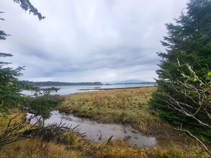
Plenty of drivers on the Oregon Coast roll right past without a second look. The entrance resembles a simple roadside pullout, and that is exactly why this place stays so peaceful.
Sitka Sedge State Natural Area sits at Sandlake Rd, Cloverdale, OR 97112, in Tillamook County on the northern Oregon Coast. It lies along the Sand Lake Estuary, a stretch between Lincoln City and Tillamook that many travelers only know from a highway sign.
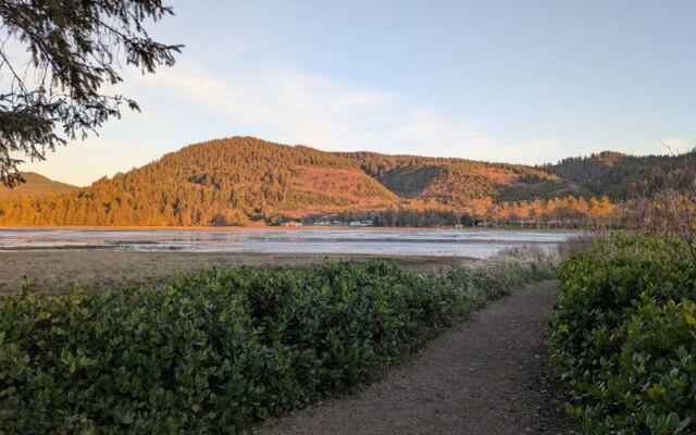
Behind that modest first impression are about 357 protected acres. Roughly 3.5 miles of looping trails pass through coastal forest, wetlands, dunes, tidal flats, and estuary edges.
The area is run by Oregon State Parks as a day-use natural area rather than a campground. There are no lodges, gift shops, or snack stands, just established trails, a few benches, information boards, and a picnic area beside the parking lot.
One more surprise for first-timers is the size. A quick look from the road suggests a short stroll, yet the full set of loops can easily fill a morning.
Many people who stop on a whim end up staying for hours. For a place that barely announces itself, it has a habit of rearranging travel plans.
From Cattle Pasture to Public Treasure
Long before the trail maps went up, cattle grazed here. The land was known as the Beltz property, a farm on the edge of the Sand Lake Estuary.
Over the years, there were several attempts to turn it into a golf course or a resort. None of those plans stuck.
In 2014, Oregon State Parks purchased the property to help protect the Sand Lake ecosystem. After a few years of work, Sitka Sedge officially opened to the public in 2018, making it one of the newer parks along this coast.
The story goes back much further than the farm. The area is within the traditional territory of the Nestucca group of Tillamook Indians, a reminder that this shoreline had people caring for it long before any fence posts appeared.
Some farm-era features still play a role today. An old dike and a rusted tide gate help keep the nearby community of Tierra Del Mar from flooding.
For Oregonians who worry about familiar coastal land disappearing behind private gates, this purchase is a rare happy ending. A spot that could have charged greens fees now costs nothing to enter, and it belongs to everyone.
Fresh Water on One Side, Salt Marsh on the Other
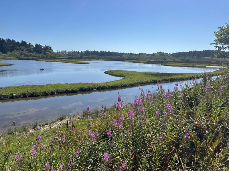
Few trails let walkers straddle two different worlds at once. The old farm dike at Sitka Sedge does just that.
On the left sits a freshwater stream, and on the right stretches the saltwater marsh of the estuary. It is a simple, flat path, yet it shows clearly how the coast blends river and tide.
From there, the routes branch out. One option follows the marsh and mudflats south before looping northwest, while another heads straight west toward the beach and then curves south and southeast to finish the circuit.
There are two main loops, each about a mile, running in opposite directions with different things to see. Shortcuts throughout let walkers trim the route when legs or schedules call for it.
Navigation is easier than it used to be. Posts at trail intersections now carry the map along with a you-are-here marker, and a larger map waits at the trailhead.
Doing every loop adds up to around three miles or a bit more. The terrain shifts from open meadow to forest to dune along the way, so the scenery keeps changing even when the elevation barely does.
Eagles, Kingfishers, and a Long Bird List
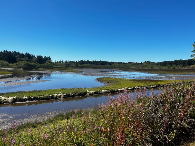
Birders tend to slow down here, and with good reason. The mix of forest, marsh, dune, and open water draws a wide range of species into one compact area.
Eagles, gulls, terns, kingfishers, and vultures all make appearances. Snowy plovers nest along the nearby beach, which is why parts of the shoreline carry seasonal protections.
The park is often called a bit of a birder’s paradise, and the variety of habitats explains it. A single loop can pass treetop perches, mudflat feeding grounds, and sandy nesting zones within the same hour.
Birds are not the only wildlife residents. Elk are common in the area, and black bears are around as well, so keeping an eye on the trail and staying on marked paths makes sense.
The environment is fragile, which means good habits matter. Staying on the trails and keeping dogs leashed in protected areas helps the wildlife that makes this place special.
Binoculars are a smart addition to the day pack. Those who forget them may still get lucky, but the patient walkers usually come away with the longest lists.
Berries, Mushrooms, and Wildflowers Along the Path
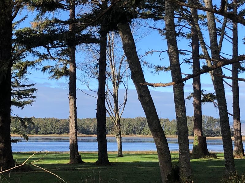
Some trails are all about the destination. This one rewards anyone willing to look down.
Native trailing blackberry, salal with dark berries, and wild rose hips, likely Nootka rose, grow right up to the edges of the path. Blueberries show up in good numbers too, along with plenty of wildflowers in season.
Late summer is an especially colorful time for the plant life. The berries and hips add bright accents to the forest and dune edges, turning an easy walk into a slow botany lesson.
Autumn brings another crowd of interest. The shaded, moist forest sections make this a well-known spot for mushrooms.
So many plant types line the route that photographers find no shortage of subjects. Each habitat zone brings its own cast, from wetland grasses to coastal shrubs to forest understory.
Since this is a protected natural area, the best approach is to observe and photograph rather than disturb. Leaving the plants in place keeps them around for the birds and animals that depend on them.
Bring a plant identification app if curiosity tends to win. Just remember to download what is needed beforehand, because signal out here is famously unreliable.
Dunes, Mudflats, and a Quiet Slice of Beach
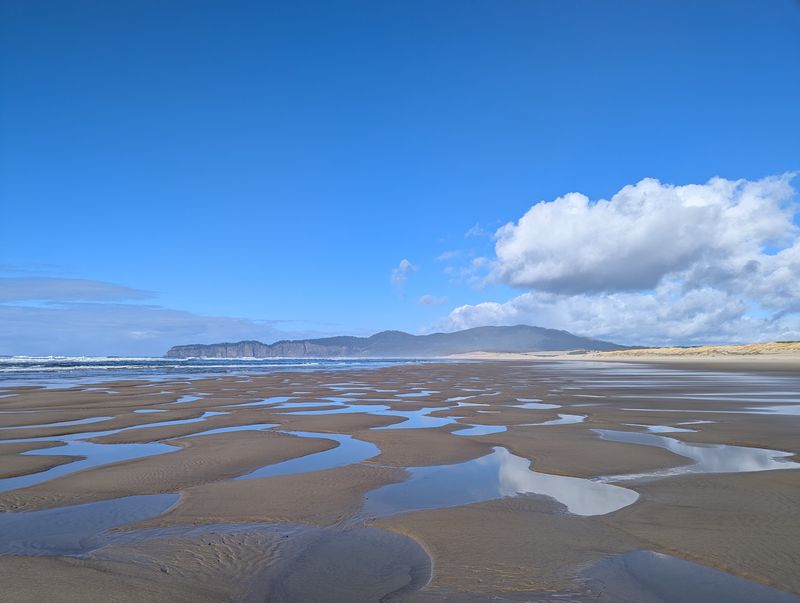
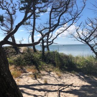
The main trail eventually pops out onto a quiet, secluded stretch of sand. Even on summer Saturdays, crowds here stay thin.
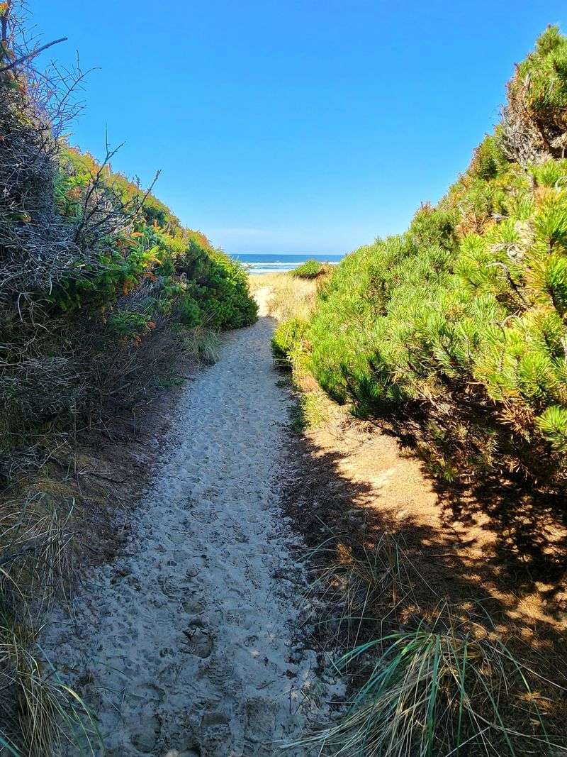
Getting there takes a little effort. The beach sits over a mile from the parking area by trail, and the final approach climbs a short, steep section of deep, loose sand.
That loose sand runs through the back, ocean-side portion of the loop. Plenty of people kick off their shoes and walk barefoot through the dunes, which also keeps the sand out of their socks.
The views make the work worthwhile. From the shore, there are looks at Haystack Rock, plus Sand Lake and Whalen Island across the river channel.
Out on the mudflats, kids sometimes use clamming guns to catch ghost shrimp, a popular fishing bait. It is a small, local coastal tradition happening right beside the trail.
Snowy plover restrictions run from March 15 to September 15 every year. The information board at the parking lot shows where people, dogs, and horses are allowed during that window, so a quick read before heading out saves confusion later.
Easy Miles for Kids, Seniors, and Leashed Dogs
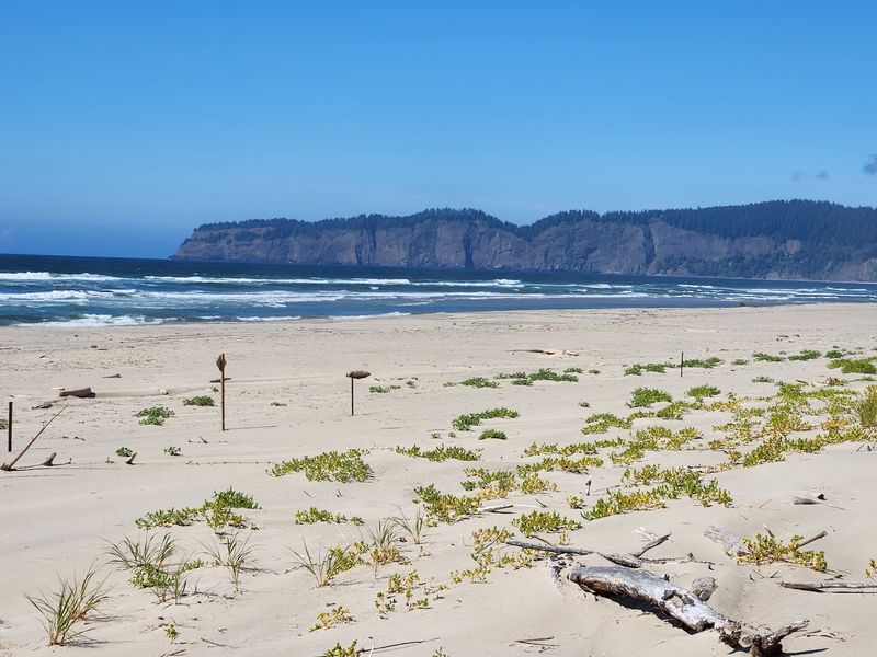
Steep switchbacks are nowhere to be found. Most of the route is flat, with minimal inclines, which makes it a favorite for families and older walkers alike.
The westward stretch toward the beach is the flattest and most groomed part of the loop. Much of the beach trail works for people with limited mobility, though small tree roots poke up in places and the last quarter turns to sand.
For a shorter outing, a simple plan works well. Head west, relax on the beach, and skip the full circuit.
Dogs are welcome on most trails, and there is a great off-leash area on the beach. In fragile zones, leashes are expected, and the posted rules at the trailhead spell out the details.
Shade covers parts of the route, which helps on warmer days. The same shade and moisture also invite bugs, so insect repellent belongs in the bag.
Trail runners use the loops too, and the sandy, mud-free surfaces hold up well. On a windy coastal day, the forested sections offer welcome shelter from gusts that make open beaches less pleasant.
Gates, Parking, and a Free Ticket In
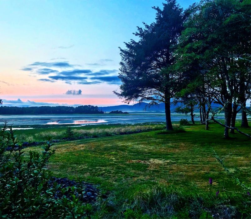
Good news for budgets first. Entry is free, and so is parking, which is first come, first served.
The park is open daily from 8 AM to 8 PM, and the gates close at dusk since it is a day-use area only. The parking lot is small, so oversized vehicles will struggle, and arriving early on summer weekends makes life easier.
Near the entrance, there are well-kept vault toilets, a water spout, wide picnic tables, and information boards. Dog bags are available, but there are no restrooms out on the trails.
Like other Oregon state parks, this one follows a pack in, pack out approach. Park hosts keep things in great shape, and the grounds stay notably litter-free.
Cell service is limited or missing altogether. Snapping a photo of the trailhead map or downloading one ahead of time is a smart move.
It may not be worth a dedicated road trip for everyone, but as a stop along the coast it delivers far more than its roadside look suggests. A free, protected stretch of Oregon shoreline that almost became a resort is worth an afternoon, and maybe a return trip too.
Share this story