Some Oklahomans still insist the state is flat from border to border. One drive in the southeast corner proves them wrong, one curve at a time.
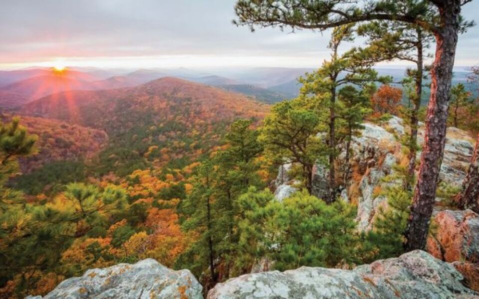
It follows the spine of the Ouachita Mountains for about 54 miles and crosses into Arkansas, with overlooks that let families pull over and take in miles of forested ridges. Late October is when the hardwoods turn, and the road becomes one of the most talked-about fall trips in the region.
Read on for where it starts, what to watch for along the way, and how to plan a budget-friendly day on the ridge.
1. A Ridgetop Road in Southeast Oklahoma
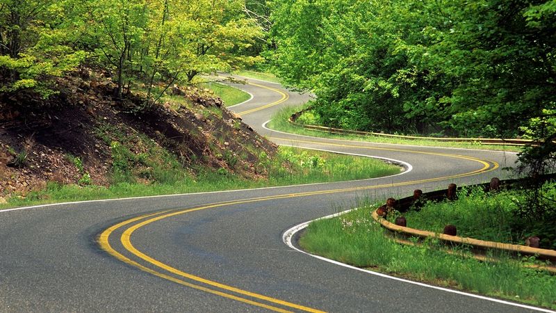
Southeast Oklahoma hides a mountain road that surprises plenty of first-timers. Talimena Scenic Dr runs through the Ouachita Mountains in Oklahoma, near the town of Talihina, and continues east into Arkansas.
The route is a designated National Scenic Byway. It stretches roughly 54 miles between Talihina on the Oklahoma side and Mena, Arkansas, on the other end.
Most of the drive follows ridgelines rather than valley floors. That design is the whole point, since the road was built to show off the mountains instead of squeezing between them.
Much of the route passes through the Ouachita National Forest. Long stretches have no towns, no billboards, and very little development, which keeps attention on the scenery.
For Oklahoma families, the starting point is a reasonable day trip from Tulsa or Oklahoma City, though the drive there takes a few hours. Many travelers make a full Saturday of it, starting early to catch the morning light on the ridges.
It is a road trip that quietly settles the flat-state debate for good.
2. Where the Name Comes From
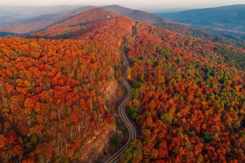
Names on a map rarely tell a story this neatly. Talimena blends two towns: Talihina in Oklahoma and Mena in Arkansas, the two anchors at either end of the byway.
The road itself opened in 1970. It was planned as a scenic route rather than a fast connector, so curves and overlooks took priority over speed.
Talihina sits in country with deep Choctaw Nation roots. The town name is often linked to a Choctaw phrase connected to the railroad, a reminder that this corner of the state carries layers of Native and frontier history.
Families who enjoy a little history with their scenery can treat the drive as more than a leaf hunt. Historical markers along the route point out old settlements and forest stories worth a quick stop.
Reading those signs gives kids a reason to hop out of the car. It also adds context to the empty ridges, which were once home to communities that have since faded from the map.
A short history lesson, it turns out, fits nicely between scenic pullouts.
3. Why Late October Steals the Show
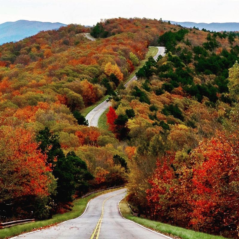
Timing matters on this road more than almost anywhere else in Oklahoma. The Ouachitas are covered in hardwoods such as oak, hickory, and maple, and those trees change color in autumn.
Peak color often arrives in late October, sometimes stretching into early November. Exact timing shifts each year depending on rain and temperatures, so checking a recent fall foliage update before leaving is a smart move.
Because the road runs along ridges, the views stretch across many layers of hills at once. That is what makes the fall display feel so wide.
Weekends at peak season can bring heavy traffic, especially at the most popular overlooks. A weekday trip or an early start helps families find parking without circling.
Spring is another worthwhile season, with fresh green growth and flowering trees. Summer brings full canopy, and winter opens long views through bare branches.
Still, the ridge saves its biggest performance for the end of October.
4. Overlooks Worth the Brake Lights
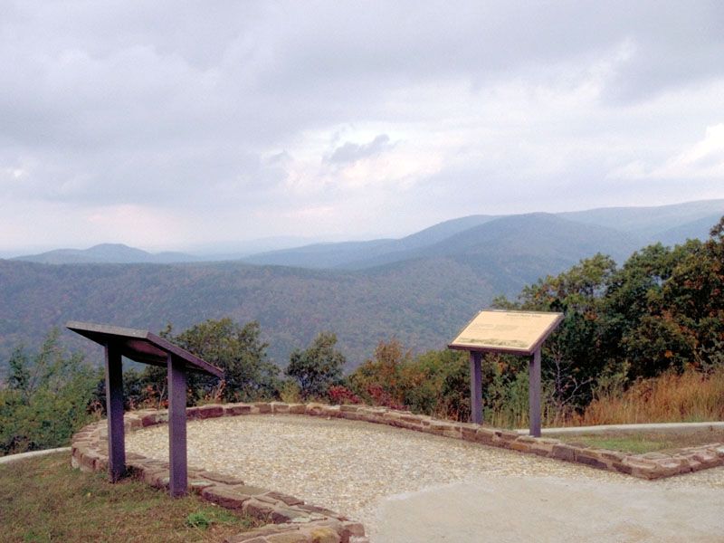
Pullouts are the real destinations here. The byway includes numerous signed overlooks, each with space to park and look out across the valleys below.
Many of the stops have interpretive signs. They explain geology, forest life, and local history, which turns a quick photo break into a mini lesson.
The Ouachitas are unusual because the ridges run mostly east to west. That orientation is rare among mountain ranges in the United States and gives the drive its long, layered views.
Families often turn the drive into an overlook-counting game. Kids can track how many they stop at, and parents get a natural pace that keeps the trip from feeling rushed.
Plan for more time than the mileage suggests. The 54 miles can take a couple of hours with no stops, and far longer once the camera comes out.
Patience pays off, since every pullout frames the forest a little differently.
5. Trails That Leave the Pavement Behind
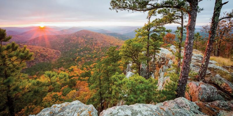
Seat belts come off and hiking boots go on at several points along the ridge. The famous Ouachita National Recreation Trail crosses near the byway, giving hikers a way to stretch their legs on a famous long-distance path.
Families do not need to tackle the whole thing. Short out-and-back walks from trailheads can last as little as half an hour.
Trail conditions vary, and some sections are rocky and steep. Sturdy shoes, water, and a printed map are wise, since cell service in the mountains can be spotty.
Fall is a popular time to hike because temperatures are milder. It also coincides with hunting seasons in the national forest, so bright clothing is a sensible choice.
Short hikes give kids something hands-on to do between overlooks. They also offer a closer look at the forest that fills the views from above.
A few miles on foot can make a scenic drive feel like a real adventure.
6. Who Will Love This Drive Most
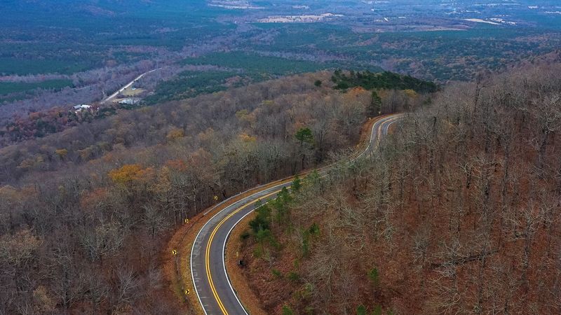
Some outings demand stamina, and this one mostly asks for a full gas tank. The drive suits a wide range of travelers, from grandparents who prefer car-based sightseeing to teens looking for a photo backdrop.
Photographers tend to plan around sunrise and sunset. The low light across the ridges makes those hours especially popular.
Motorcyclists also favor the road for its curves and elevation changes. Drivers should expect bikes and share the lanes with care.
Families with young kids may want to break the trip into shorter chunks. Snack stops at overlooks and picnic areas keep the mood steady.
Anyone prone to car sickness should know the road has plenty of turns and grades. Front seats and frequent breaks can help.
The pace stays easygoing overall, which is part of its charm. Nobody needs special gear or skills to enjoy a day up here.
7. Planning the Trip: Cost, Timing, and Safety
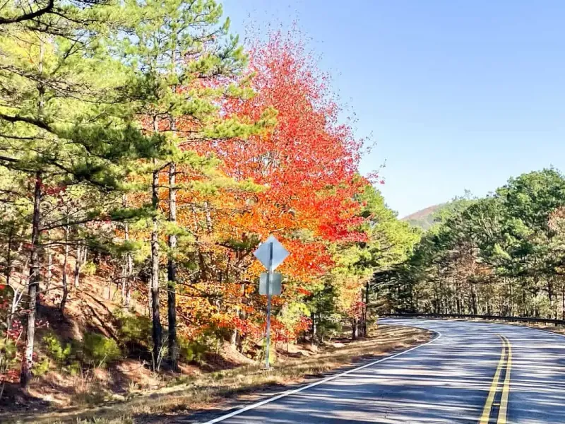
Good news for budget-minded families: the drive itself is free. There is no toll and no general entry fee to travel the byway, though some campgrounds and facilities nearby may charge their own fees.
Fuel up before leaving town. Services along the ridge are very limited, so Talihina is a smart place to top off the tank and grab supplies.
Weather can change quickly at elevation. Fog sometimes settles on the ridges, and winter ice can close sections, so checking road conditions before the trip is important.
Visitor information stations near the ends of the route can be helpful when open. Hours and seasonal schedules may change, so confirm ahead.
Watch for wildlife crossing the road, especially at dawn and dusk. Deer are common in the forest.
A little planning keeps the day relaxed and the budget intact.
8. The Case for Making the Climb
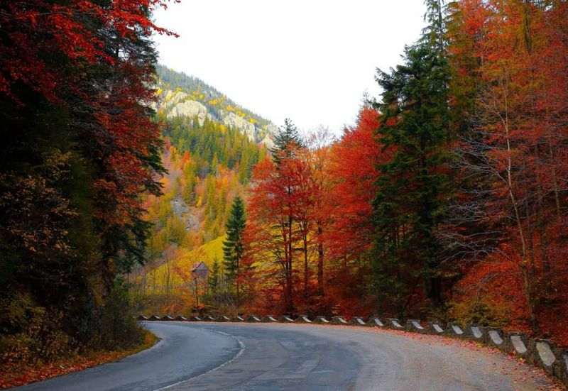
Proof that Oklahoma has mountains comes free of charge in the southeast. The Talimena drive delivers ridge views, history markers, and trail access without a ticket booth in sight.
Late October is the sweet spot for color, though every season has something to offer. Families who plan a weekday or early weekend start will likely enjoy the calmest version of the trip.
It works well as a single-day outing or as part of a longer weekend in southeast lake country. Either way, the drive gives kids and adults plenty to talk about on the ride home.
Bring snacks, a camera, and some patience for slow curves. Check conditions and foliage reports before heading out, since both can shift from week to week.
The ridge will be waiting, quietly ready to change a few minds about Oklahoma scenery.
Share this story