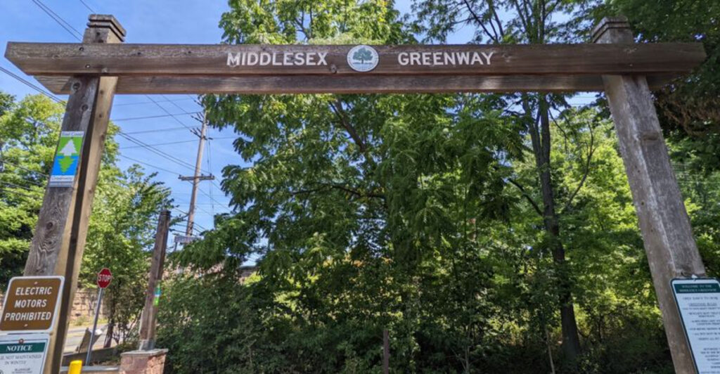
A cyclist rolls over Route 1 while six lanes of cars move below, yet a few minutes later the loudest sound may be a cardinal somewhere in the leaves. That quick switch from full-volume Central Jersey to shaded calm is the trick of the Middlesex Greenway.
The paved rail trail runs for roughly 3.5 miles through Metuchen, Edison, and Woodbridge, following a corridor that once carried freight instead of strollers, sneakers, and bike tires.
It is flat, comfortably wide, and threaded through neighborhoods rather than tucked in some distant wilderness, which means a peaceful outing does not require hiking boots or an all-day plan.
There are road crossings and moments when nearby highways remind you exactly where you are, but bridges, underpasses, and thick vegetation keep much of the route pleasantly separated from traffic. For a quick walk, a family bike ride, or a seven-mile out-and-back jog, this leafy strip of Middlesex County quietly gets the job done.
An abandoned coal railroad became one of Central Jersey’s most peaceful trails
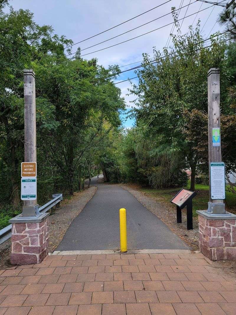
Long before this corridor carried weekend walkers, it was built for a much heavier job. The route was part of the Lehigh Valley Railroad system, whose Easton and Amboy line moved anthracite coal east from Pennsylvania toward the docks at Perth Amboy.
Freight trains began using the corridor in the late 1800s, when railroads were the industrial backbone of this part of New Jersey, and service continued in some form into the late 20th century. That history explains the greenway’s ruler-straight stretches, easy grade, and unusually direct path through developed communities.
Railroads dislike unnecessary hills and sharp turns, and recreational trail users now benefit from that practical engineering. After rail use ended, the old right-of-way could easily have become an overgrown divider between neighborhoods.
Instead, local advocates pushed for a rails-to-trails conversion, with the Edison Greenways Group and Middlesex Greenway Coalition helping bring public agencies and funding partners together. Middlesex County acquired the corridor for parkland in December 2002, and the completed trail was formally dedicated in September 2012.
The result was the county’s first rails-to-trails greenway and a clever second life for land that already connected the places people needed to reach. Very little about the finished path feels industrial today.
The rails and ties are gone, the asphalt is smooth, and trees have softened the former transportation corridor into a long linear park. Still, the railroad bones remain obvious once you know to look for them.
The route moves with purpose, slipping behind houses, beside local parks, and across major roads without wandering. What once hauled coal toward the waterfront now carries morning joggers, children learning to ride, neighbors walking dogs, and commuters making short trips without a car.
It is hard to imagine a better trade.
The 3.5-mile greenway connects Metuchen Edison and Woodbridge
Begin on Middlesex Avenue in Metuchen and the greenway immediately feels more useful than a trail built only for scenery.
From its western end, it threads past Memorial Park and through residential sections of the borough before entering Edison, eventually continuing toward the Fords area of Woodbridge Township near Crows Mill Road and East William Street.
A one-way trip is about 3.5 miles, while going end to end and returning gives walkers and runners a satisfying route of roughly seven miles without inventing extra loops. The municipal transitions are easy to miss because there is no dramatic change at the borders.
One moment the path is passing Metuchen side streets, then it is moving through Edison near Pierson Avenue, Jackson Avenue, and Woodbridge Avenue, and later it reaches Woodbridge Township. That subtle stitching is exactly what makes the greenway valuable.
It connects neighborhoods, schools, parks, and commercial areas through one continuous corridor in a part of the state where trips of even a mile or two often default to the car. Access is not limited to the two endpoints.
Middlesex County lists entrances along Middlesex Avenue, Rose Street, Amboy Avenue, Memorial Parkway, Main Street, and Green Street in Metuchen, with additional access in Edison and Woodbridge at locations including Pierson Avenue, Jackson Avenue, Woodbridge Avenue, Wolff Avenue, Dudash Park, and Raymond Street.
Several are fully accessible, so visitors can choose a short section instead of committing to the whole route.
Parking is available at the Metuchen trailhead and Dudash Park, while additional evening and weekend parking can be found near Amboy and Lake avenues and at Memorial Park. That flexibility changes how locals use the path.
It can be a destination for a full bike ride, but it can just as easily serve as the pleasant middle portion of an errand, a school-day walk, or a quick after-dinner mile. Three municipalities share it, yet the trail feels like one connected neighborhood.
A leafy tree canopy creates a quiet escape from suburban traffic
The surprise is not that trees grow beside a former railroad. It is how quickly they make busy Middlesex County feel far less busy.
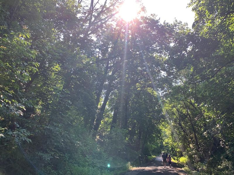
Mature branches arch over long portions of the asphalt, creating pockets of deep shade and a green-tunnel effect that is especially welcome when summer temperatures climb. Sun still reaches the open areas and road approaches, but much of the route is protected enough to turn a hot-day walk from punishment into something genuinely pleasant.
This is not remote woodland, and pretending otherwise would undersell what makes the greenway interesting. Houses sit behind fences.
Local streets appear at access points. Route 1, the New Jersey Turnpike, and other major roads are close enough to show up prominently on the trail map.
Yet the corridor often sits below street level or behind bands of vegetation, allowing leaves, distance, and the old railroad cut to soften the usual suburban soundtrack. You may hear a truck in one section or traffic near a crossing, but there are also stretches where birds, bicycle freewheels, and footsteps take over.
Each season changes the mood without changing the route. Spring puts fresh green growth along the edges.
Summer fills out the overhead canopy and creates the trail’s coolest, most enclosed feeling. Fall lays yellow and copper leaves across the dark pavement, making an ordinary workout look suspiciously photogenic.
Winter strips the scene back to the corridor’s straight lines and reveals more of the surrounding neighborhoods. The best part is how little effort this escape demands.
There is no rocky climb, no complicated trail-blaze system, and no long drive into the hills. You step onto a paved path in one of New Jersey’s most developed counties and, within minutes, the trees take the edge off everything around you.
It is nature working with infrastructure rather than replacing it.
The wide paved path welcomes walkers joggers cyclists and families
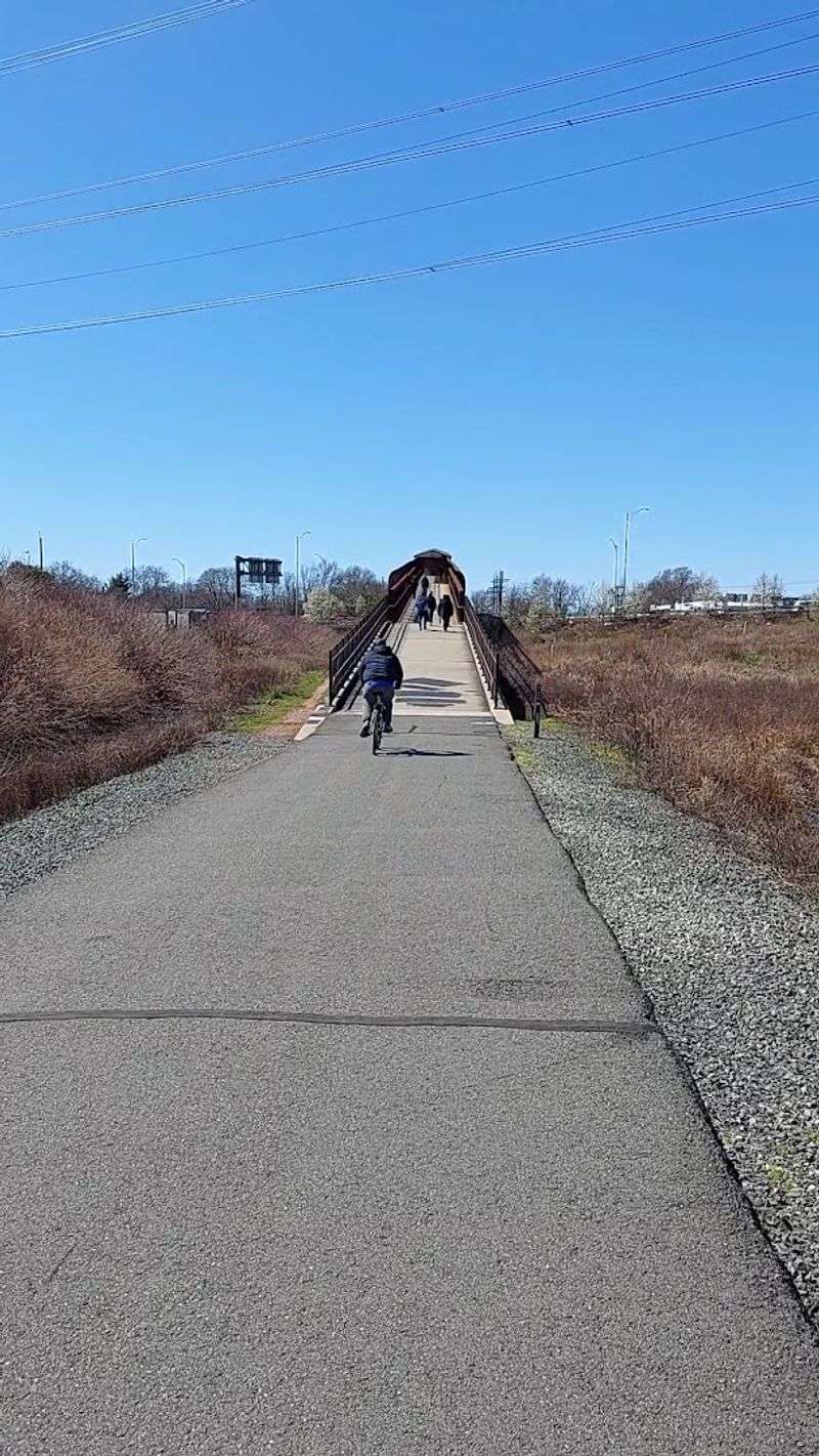
On a Saturday morning, the greenway can hold a surprisingly mixed crowd without turning into a free-for-all. A runner keeps an even pace near the right edge, a child pedals ahead of a parent, two neighbors walk side by side, and a faster cyclist waits for a clear opening before calling out a pass.
The reason this works is built into the trail itself. Middlesex County describes the route as a 10-foot-wide paved path designed for walking, biking, and jogging, with several accessible entrances along its length.
The asphalt surface makes the greenway approachable for people who do not consider themselves hikers. Strollers roll smoothly, small bicycle wheels are not fighting gravel, and runners can settle into a rhythm without watching every step for roots.
The former railroad grade also keeps climbs modest. There are ramps around some bridge approaches and gentle changes in elevation, but nothing resembling a mountain trail.
That makes it a practical choice for beginners, older walkers, families, and anyone who wants movement without a technical challenge. Sharing still requires basic manners.
County rules give pedestrians the right of way, prohibit motorized vehicles, and set a 10 mph speed limit for cyclists when conditions permit. Riders are expected to keep right and give an audible “passing on left” signal before moving around someone.
Those details matter on a trail where speeds vary widely, particularly near entrances, road crossings, and popular sections around parks. Distance is easy to customize.
A casual visitor can walk 20 minutes and turn around. A runner can use the full 3.5 miles as an out-and-back training route.
Families can start near Dudash Park, where a break feels natural, rather than treating the outing like an endurance test. The trail does not demand one correct way to enjoy it, which is probably why so many different people fit comfortably on the same strip of pavement.
Bridges and underpasses keep the journey smooth and mostly traffic-free
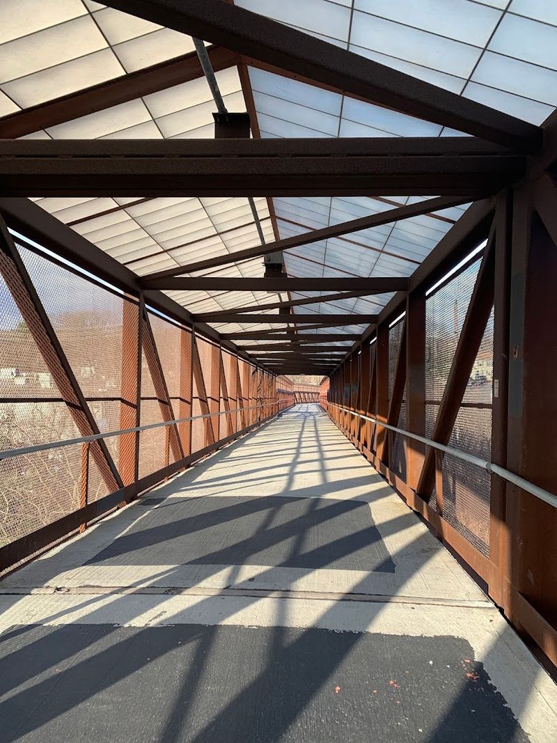
The smartest part of the Middlesex Greenway is not the pavement or even the shade. It is the way the route handles roads that would otherwise chop a pleasant trail into frustrating pieces.
The old railroad alignment already crossed major transportation corridors, and the modern greenway uses a mix of bridges, underpasses, and separated passages to preserve much of that continuity. Instead of meeting every highway at a traffic light, users can keep moving above or below several of the biggest obstacles.
The most memorable crossing is the covered pedestrian and bicycle bridge over U.S. Route 1 in Edison.
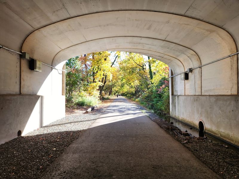
Cars rush underneath while the trail rises on approach ramps and carries users safely across one of Central Jersey’s busiest roads. Elsewhere, the route passes beneath the New Jersey Turnpike and negotiates major corridors including Route 27, King Georges Post Road, and Crows Mill Road through grade-separated crossings.
Near the Metuchen end, it also slips beneath the Northeast Corridor railroad tracks, a fitting little overlap between the greenway’s rail past and New Jersey’s rail present. “Mostly traffic-free” does not mean “never cross a street.”
The trail meets several local roads at grade, including points in Edison where users need to slow down, look carefully, and obey signs. These crossings are generally brief, but they are the moments when parents should pull younger riders close and cyclists should give up any Tour de France fantasies.
The county’s 10 mph guidance is especially sensible here. Even with those interruptions, the engineering keeps the outing unusually fluid for a trail running through three densely developed communities.
You can cover mile after mile without riding beside moving cars or stopping at every block. The greenway does not erase Central Jersey’s road network.
It simply finds a much calmer way through it.
The trail forms a small but important piece of the East Coast Greenway
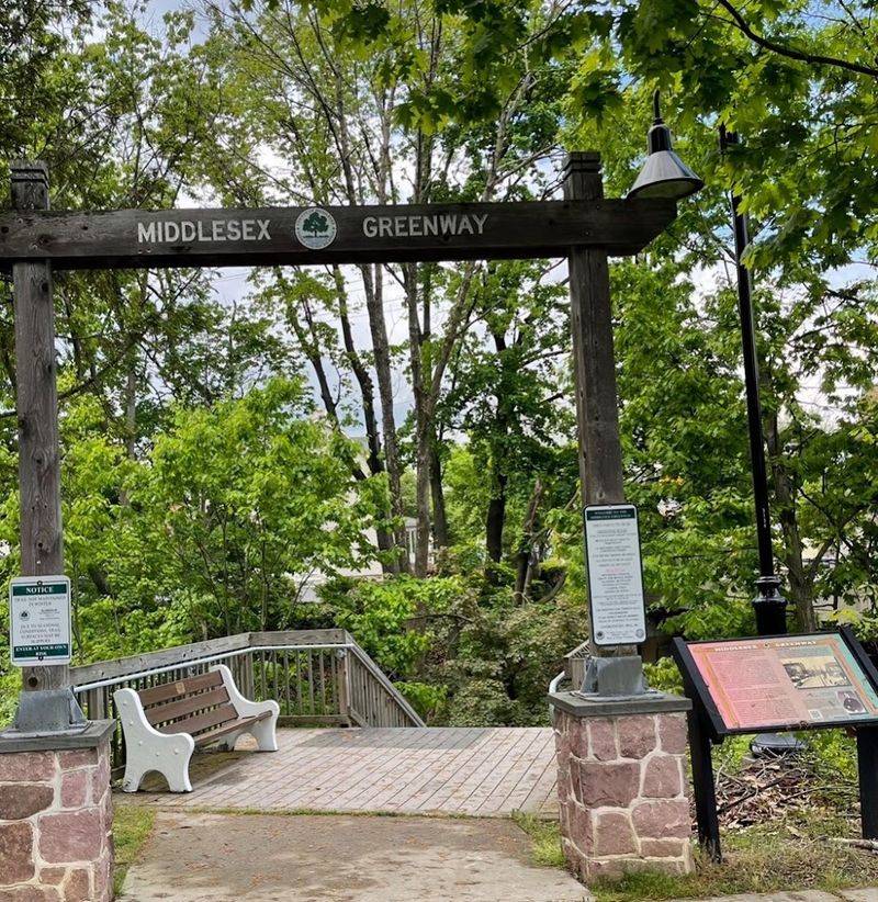
Zoom out from Middlesex County and this neighborhood trail suddenly belongs to a much larger idea. A designated 1.5-mile portion of the Middlesex Greenway is part of the East Coast Greenway, the developing walking and bicycling route intended to link Maine and Florida.
The full vision covers roughly 3,000 miles along the Eastern Seaboard, connecting major cities, smaller communities, parks, waterfronts, and existing local trails into one continuous corridor. New Jersey is essential to that puzzle.
The East Coast Greenway Alliance describes more than 150 miles of route in the state when its spine and complementary mileage are considered, passing through places as varied as Camden, Trenton, New Brunswick, Newark, and Jersey City. Some sections are already protected trails, including long stretches of the Delaware and Raritan Canal Towpath.
Others still rely on interim on-road connections while safer off-road pieces are planned and built. In that context, the Middlesex Greenway is modest in length but exactly the kind of finished infrastructure the larger route needs.
Its value is not limited to long-distance cyclists with packed panniers. Regional trail systems only work because local sections first serve nearby residents.
The same pavement that helps someone travel north or south along the East Coast also lets an Edison family ride to a park, a Metuchen runner complete a weekday workout, or a Woodbridge resident walk beneath the trees after dinner. Big networks become useful one practical segment at a time.
That may be the greenway’s neatest trick. At ground level, it is a friendly 3.5-mile path with shade, easy access, and fewer encounters with traffic.
On a map, it is one link in an ambitious route stretching far beyond New Jersey. Both identities fit comfortably on the same old railroad bed.