Pedaling this Massachusetts trail feels easy, but the route carries more history than its gentle curves suggest. The Nashua River Rail Trail follows a former railroad through shady woods, wetlands, and small towns, with roughly 11 miles of the path stretching across Massachusetts.
Trains once moved along this corridor for more than a century, and the old rail bed still shapes the smooth grades and long, gradual bends riders and walkers enjoy today. That mix of scenery and history gives the trail more personality than a simple paved path.
For anyone looking for an easy Massachusetts outing with a little story behind every mile, this rail trail is worth slowing down for.
Massachusetts Railroad History Hides in the Shape of the Path
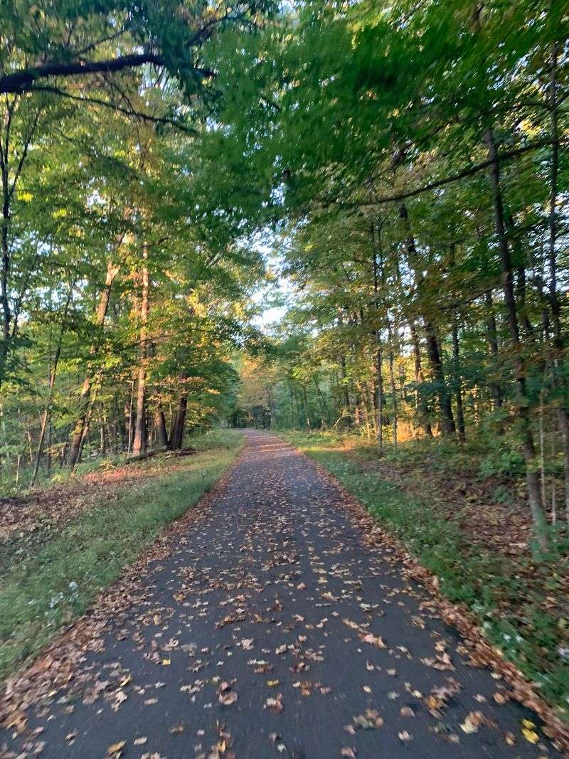
The first clue is under your feet: a broad, steady route that rarely asks you to climb a steep hill. Before it became a recreation path, this corridor belonged to the Worcester and Nashua Railroad, which began operating in the late 1840s.
Trains connected inland communities with larger rail networks, moving passengers and goods through a landscape that was far less connected by roads than it is today. The line later became part of the Boston and Maine railroad system.
Its working life stretched well beyond a century.
Passenger service ended in the 1930s, while freight trains continued using the corridor into the 1980s. The Massachusetts rail trail opened in 2002, giving the old transportation route a new job.
Instead of moving cargo, it now carries walkers, runners, cyclists, and other trail users.
You do not need to spot an old rail or station building to read that history. Notice the gentle grades, long sightlines, and broad curves.
Those features helped trains travel efficiently, and they now make the route comfortable for a relaxed outing.
Railroads also needed carefully shaped ground, so look at places where the path sits above nearby land or passes between rising banks. Such changes can reveal the work needed to create a dependable rail bed.
Avoid assuming that every stone, ditch, or concrete feature is a railroad relic unless a sign identifies it.
A useful way to explore is to pause occasionally and picture the same corridor without pavement, bicycles, or leafy branches overhead. Listen for tires passing where steel wheels once rolled.
The historical connection is strongest in the route itself: an old piece of infrastructure still doing what it was built to do, linking places together while making the journey between them easier for everyone traveling along its familiar course today, at a much slower pace.
Eleven Miles Connect Ayer, Groton, and Pepperell
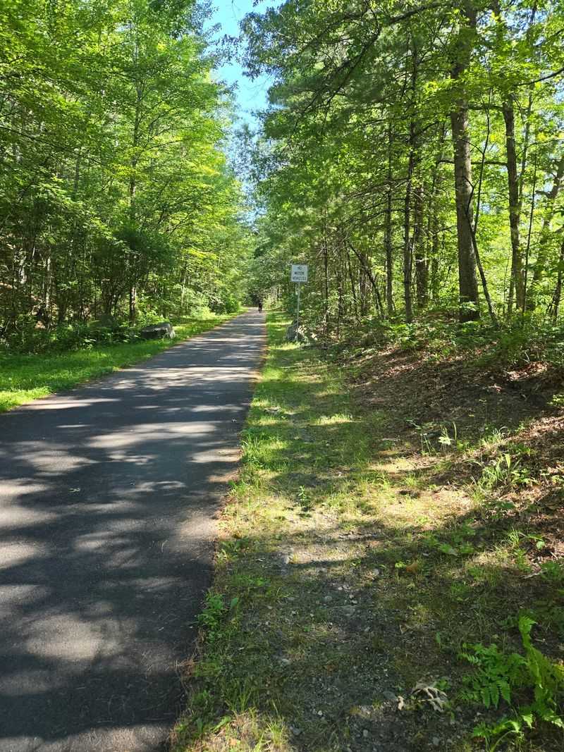
A trail mileage number can sound simple until you start planning the return trip. The Massachusetts portion of the Nashua River Rail Trail runs roughly 11 miles through Ayer, Groton, and Pepperell before reaching the New Hampshire line.
The full connected route continues into Nashua, New Hampshire, making the overall trail about 12.5 miles long. That explains why different descriptions give different distances.
For a Massachusetts outing, use the state line as your northern boundary rather than assuming every published mileage covers the same stretch.
Ayer provides a practical southern starting point, with the trail beginning near its downtown area. Heading north carries you away from the town setting and into longer wooded stretches.
Groton and Pepperell offer other ways to enter the corridor without committing to its entire length.
Choose your starting location around the experience you want, not simply the longest available ride. A short walk near an access point may fit an afternoon better than a full end to end trip.
Families can make a smaller outing feel complete by choosing a clear turnaround point before setting off.
Remember that riding 11 miles north does not put you back beside your car. An out and back ride covering the full Massachusetts stretch adds up to roughly 22 miles.
If you prefer a one way journey, arrange transportation beforehand and make sure everyone understands the pickup location.
Check a current trail map before leaving, especially if you plan to meet friends at different entrances. Parking areas and road crossings are more useful planning landmarks than vague references to the middle of the trail.
Save the map on your phone so your plan does not depend on a signal, and carry enough water for the distance you actually intend to travel, including the return miles that are easy to overlook when starting fresh.
A Green Tunnel Opens Onto Wetland Views
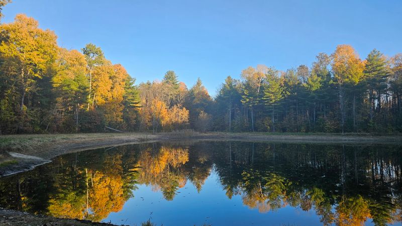
Sunlight breaks into small patches beneath the trees, then spreads across the pavement wherever the canopy opens. Much of the Nashua River Rail Trail passes through wooded surroundings, but the scenery changes enough to reward a slower pace.
Shaded sections can make warm weather outings more comfortable, especially compared with riding along exposed roads. Open areas bring brighter light and a different view of the surrounding land.
Expect a mix rather than continuous shade from beginning to end.
Wetlands and nearby water add another layer to the trip. Where vegetation allows a view, watch for ripples, water birds, or movement along the bank.
Beaver and muskrat live in this broader landscape, although spotting either depends on timing, patience, and luck.
There is no need to turn a nature break into a wildlife chase. Stop where you can stand safely outside the main flow of traffic, and let the scene settle.
A bird crossing an opening or a small disturbance on the water can be easier to notice after a quiet minute.
Keep your expectations about the river realistic: the trail follows a railroad corridor through the Nashua River area, not an uninterrupted waterfront promenade. Trees and terrain can screen the water.
The changing mix of woods, wet ground, and open edges is the attraction, rather than a river view at every bend.
For a closer look, bring compact binoculars instead of leaving the pavement to approach animals. Stay on established routes, avoid feeding wildlife, and keep dogs under control.
In warmer months, insect repellent can make stops more pleasant, especially beside damp ground, where mosquitoes may gather even when the moving air makes cycling comfortable. Before rolling onward, glance behind you for approaching bikes, then ease back into the lane without forcing another trail user to brake suddenly beside your viewing spot.
Pepperell Adds a Covered Bridge Side Trip
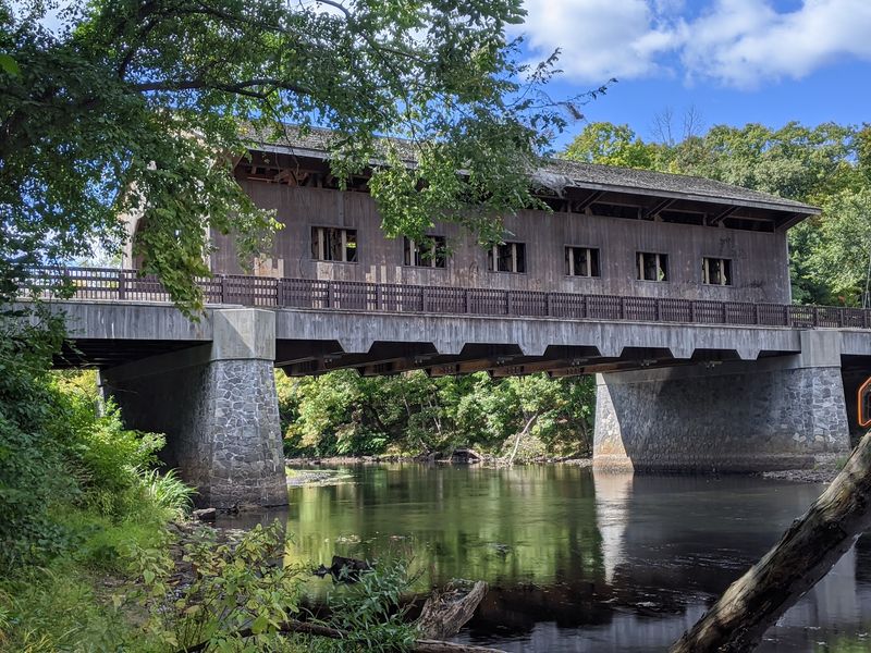
A covered bridge makes a tempting break from miles of pavement, and Pepperell has one close to the trail. The Pepperell Covered Bridge crosses the Nashua River on Groton Street, offering a nearby landmark for a carefully planned detour.
Do not confuse it with a bridge carrying the rail trail itself. Reaching it means leaving the main corridor and navigating local streets.
Study the connection on a map before your trip rather than following an inviting turn and hoping it leads directly there.
The current covered bridge is a modern replacement, not an untouched structure from the railroad’s early years. That distinction makes the stop more interesting, not less.
It shows how the town has continued caring for an old crossing while adapting it for present use.
For cyclists, the change from separated trail to street travel deserves attention. Slow down, check traffic, and follow posted directions around the bridge.
If you are riding with children or anyone uncomfortable near vehicles, decide whether the detour fits your group’s skills before leaving the path.
A bridge visit also gives the outing a different sense of scale. On the trail, you move along a long corridor; beside the river crossing, your attention shifts to one place and the water passing beneath it.
Take photographs only from a safe, permitted position, without blocking traffic or access.
Keep this extra stop optional rather than making it the goal of every Pepperell visit. A short trail walk can stand on its own, and tired legs may appreciate staying on the direct route.
If you do add the bridge, count the extra distance and time in your return plan. Bring any snacks with you, since a nearby town does not guarantee an open shop exactly when you need one, and finish your break by checking the route back to the trail.
The Best Ride Is Not a Race
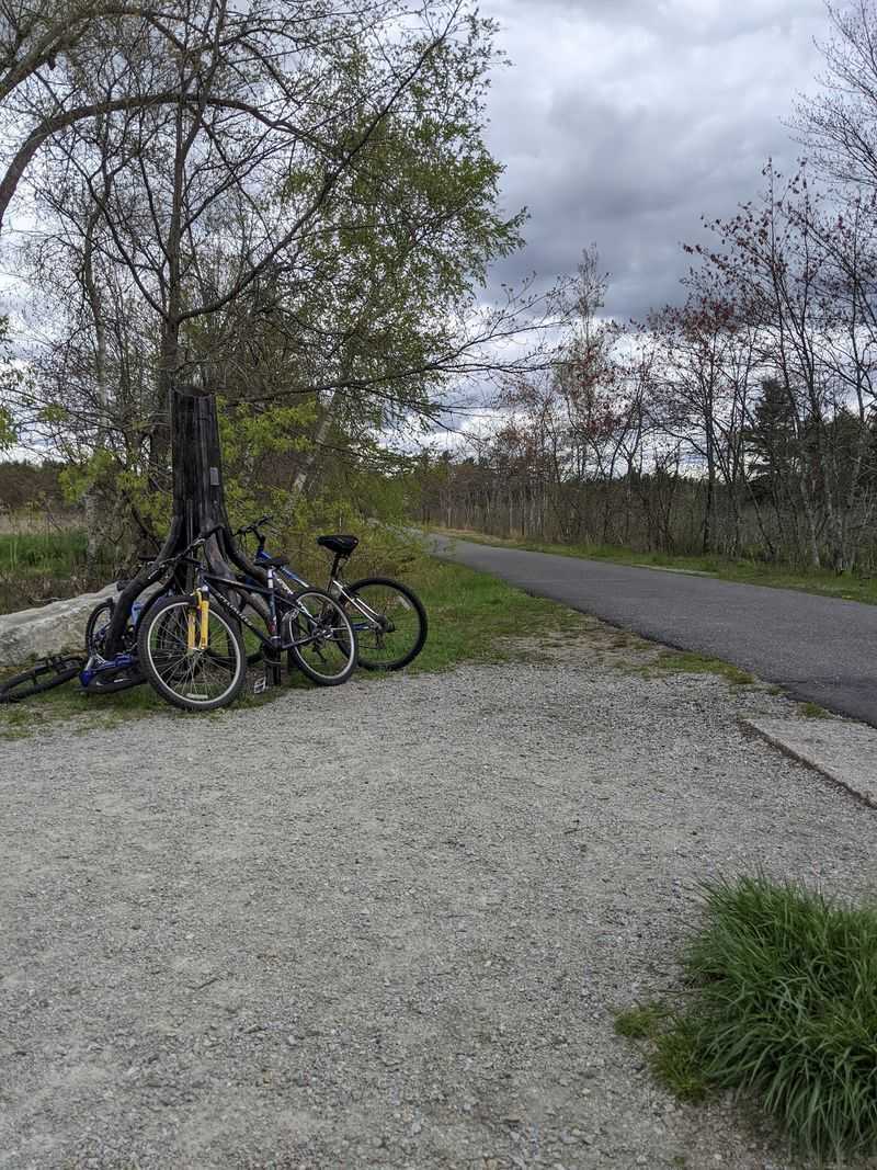
A straight stretch of pavement can make your legs want to speed up. Resist turning the Nashua River Rail Trail into a personal racecourse, because its main strength is that several kinds of travelers can use the same route.
Walkers, runners, cyclists, and people using mobility devices may all share the pavement. Their speeds and stopping distances differ.
A little patience at a busy stretch does more for the outing than shaving a few seconds off your ride.
Keep right, pass on the left when there is room, and give a clear warning before overtaking someone. A bell or a friendly spoken notice works best when delivered early enough to be useful.
Wait if an approaching rider or a narrow spot makes passing awkward.
For a family ride, put a capable adult where they can monitor younger riders and keep the group from spreading across the path. Explain road crossings before reaching them.
Stop as directed by signs, and check for traffic even when the trail beyond the road appears empty.
The railroad grade makes much of the route approachable, but paved does not mean perfectly smooth. Tree roots, cracks, uneven patches, and debris can affect the surface.
Watch the pavement ahead, especially if you are using narrow bicycle tires, skates, a stroller, or a wheelchair.
Choose a short first outing if you are uncertain about comfort or stamina. You can extend a later visit once you know how the surface and distance suit you.
Carry basic repair supplies for cycling, wear a helmet, and avoid relying on any repair station being available or functional. When stopping to adjust equipment, move fully clear of passing traffic.
A relaxed pace gives you time to handle bumps, notice crossings, and return with energy left instead of discovering that the easiest miles were all behind you earlier.
Fall Color Comes With a Slippery Catch
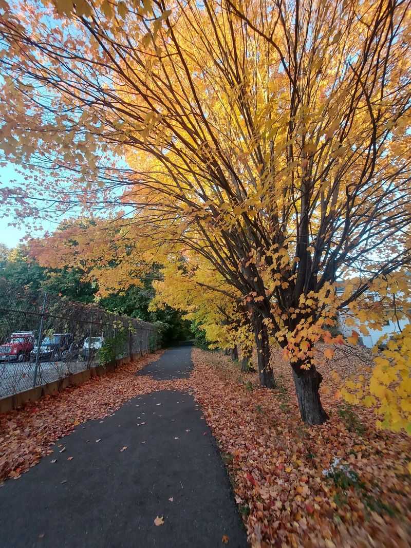
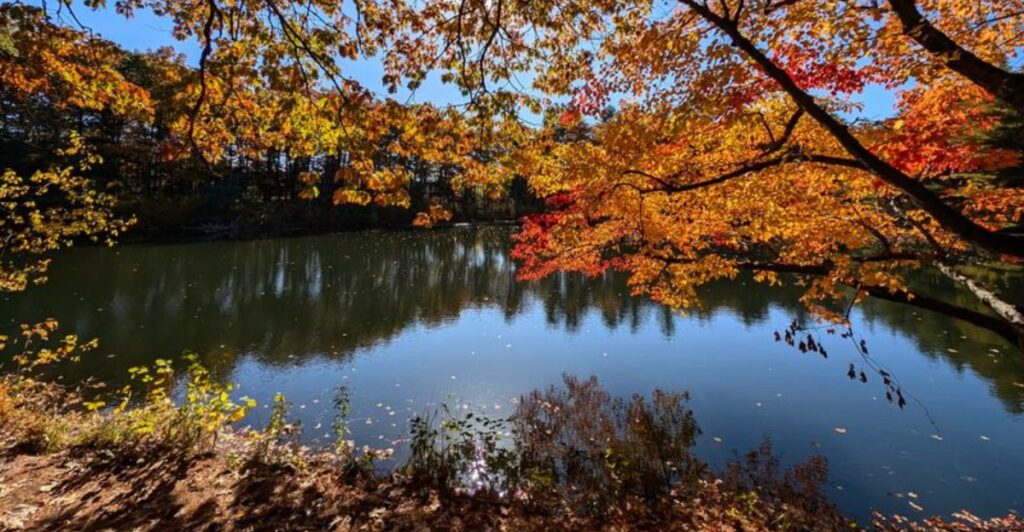
Orange leaves look lovely overhead and behave very differently under a bicycle tire. Autumn gives the Nashua River Rail Trail a colorful backdrop, but wet leaves can turn ordinary pavement into a surface that demands slower, more careful travel.
Brake gently, take corners without sharp movements, and leave extra room between riders. Leaf piles can also hide cracks or bumps.
After rain, treat shaded stretches with particular care because moisture may linger after more open sections have dried.
Spring brings a different set of conditions. Cool mornings can suit a longer walk or ride, while wet weather may leave puddles and grit behind.
Pack a light layer that you can remove once you warm up instead of dressing only for the temperature at departure.
Summer rewards an early start, especially if your route includes sunny openings. The wooded canopy offers relief, but it does not remove the need for water or sun protection.
Humidity can make a modest distance feel harder than the same trip on a crisp day.
Winter outings require the most flexible expectations. Do not assume the pavement will be cleared or free of ice, and check current conditions before making plans.
Ordinary walking shoes and bicycle tires may be poor choices when frozen patches cover the corridor.
Whatever the season, daylight should shape your turnaround time. Trees can make the path seem darker before the surrounding roads do, and a delayed return is easier to avoid than manage.
Look at the forecast, sunset time, and recent rainfall together rather than checking temperature alone. If thunderstorms are possible, postpone the ride or choose a shorter window with a safe exit plan.
For fall photographs, pull aside before reaching for your phone; the best color is not a reason to stop suddenly in front of someone traveling close behind you on the pavement.
Build a Small Outing Around a Big Historic Route
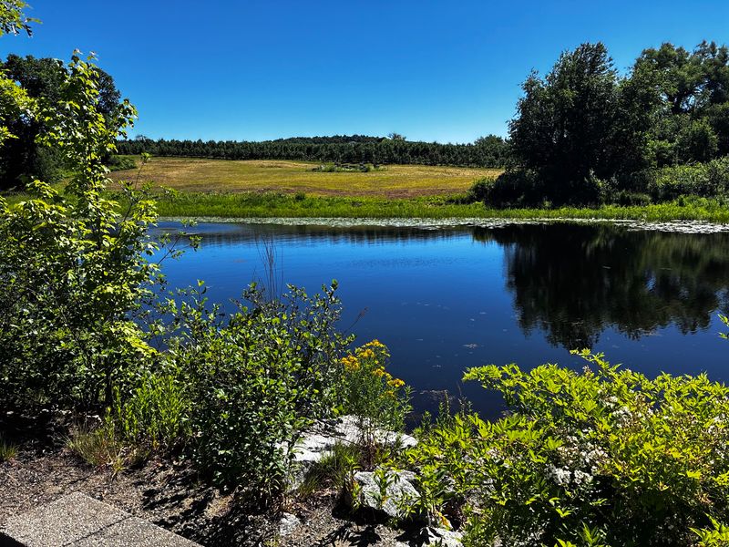
You do not have to cover every mile to understand this trail. A well chosen stretch can deliver the railroad layout, woodland scenery, and useful exercise without turning a free afternoon into a test of endurance.
Start by deciding how much time you want to spend moving, then leave room for stops and the return trip. Walking and cycling produce very different mileage plans.
For your first visit, a modest out and back route is easier to manage than an ambitious journey with several side trips.
Use a current map to select an official access point and confirm parking arrangements. Do not assume every road crossing provides a parking space.
Avoid blocking gates, driveways, or emergency access, even if you expect to be gone for only a short time.
Pack water, a snack, weather appropriate clothing, and any personal supplies you may need. Bathroom availability can vary by access point and season, so settle that detail before heading far from your starting place.
Carry out food wrappers and other litter rather than expecting a bin at every stop.
If accessibility is central to your plan, check the specific entrance and intended stretch instead of treating the entire corridor as identical. Pavement helps, but roots, grades, crossings, and parking surfaces still affect the experience.
A short scouting visit can answer questions that a general trail description cannot.
The distinctive reward here is practical: a former rail line still joins Massachusetts communities, now at a human pace. You can study its engineering, watch a wetland, or simply travel a few miles without following a busy road.
Pick one clear goal for the day, whether that means reaching a town boundary or walking for half an hour before turning back. Then let the old corridor handle the route, while you handle the water bottle, the crossings, and the return.
📍 Nashua River Rail Trail, Massachusetts
Share this story