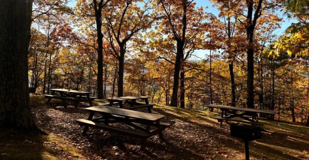
A familiar Massachusetts trail can feel completely different once the leaves start changing. Across the state, rocky overlooks, quiet ponds, wooded ridges, and coastal paths each show off fall color in their own way, giving hikers plenty of reasons to revisit places they already know. The appeal comes from timing it right, since higher elevations often turn earlier while areas closer to the coast can hold onto color longer.
Weather and trail conditions can change quickly, so sturdy shoes and a little planning help. For anyone chasing peak foliage on foot, these Massachusetts hikes make a strong case for slowing down and letting the season set the pace.
1. Monument Mountain: Big Berkshire Views in Great Barrington
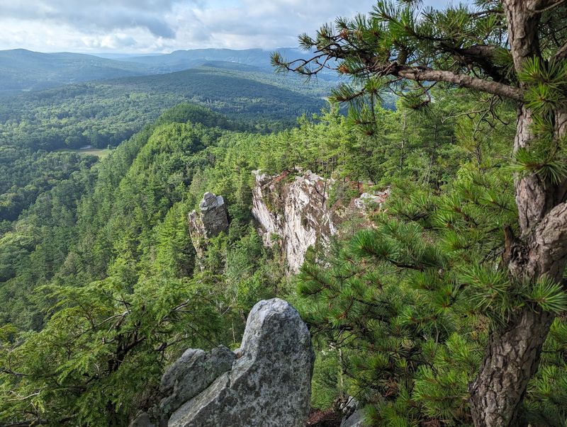
Save your biggest leaf reaction for the rocky overlook. At Monument Mountain in Great Barrington, the forest walk builds toward a wide view of the southern Berkshires, where autumn color spreads across hills instead of staying tucked beside the trail.
The reservation has several marked routes, so study the current trail map before choosing your climb. A route toward the summit area includes uneven ground and steeper sections, making sturdy shoes a much better choice than smooth sneakers.
Peak color is not a fixed weekend here. Check recent foliage reports, then look at the forecast for clear skies and decent visibility. A bright day after a stretch of changing leaves can give you stronger views than a calendar date ever could.
Start early when possible, especially on a pleasant fall weekend. Parking and popular viewpoints can get busy, and arriving before the main rush gives you more space to walk at your own pace. Keep your lunch compact so you can enjoy a break without spreading gear across a narrow stopping spot.
Up top, enjoy the scenery from secure ground and give cliff edges plenty of room. Leaves can hide small gaps between rocks, while damp stone makes footing less reliable. Children should stay close, and anyone uneasy around heights can choose a safer stopping point rather than pushing toward an exposed edge.
For photos, include a little foreground rock to show the scale of the hills beyond. On the descent, watch for roots beneath fallen leaves instead of staring only at the treetops. Bring water, a warm layer, and an offline map, even for a relatively short outing.
Before leaving home, check the managing organization’s current access rules and parking guidance. That small bit of homework lets the day stay focused on the climb, the color, and getting back comfortably before dusk arrives.
2. Mount Tom: Valley Color Above Holyoke
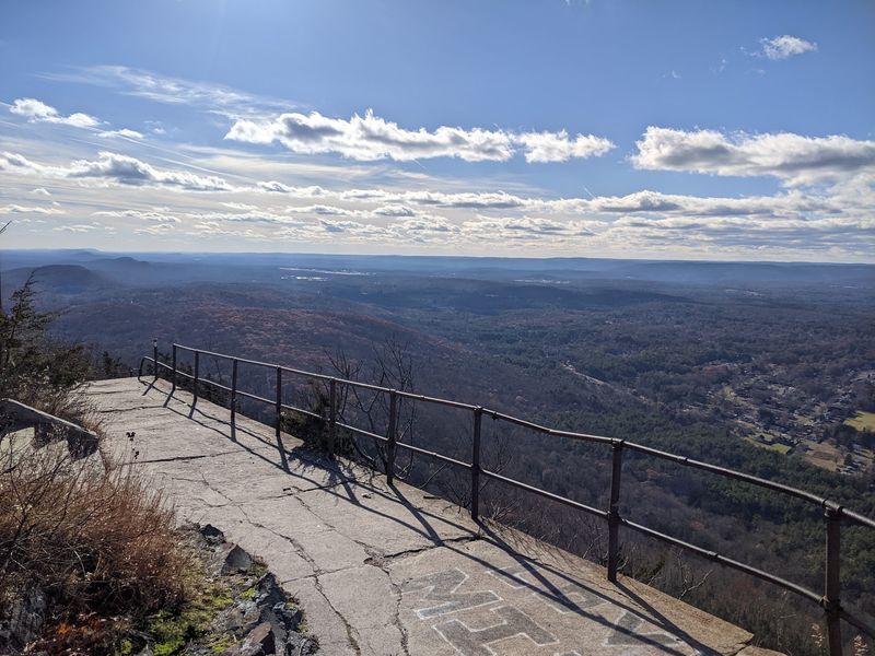
A river valley gives fall foliage room to show off. From overlooks at Mount Tom State Reservation in Holyoke, wooded slopes meet the broad Connecticut River Valley, adding fields, water, and distant hills to the usual wall of colorful trees.
Choose your route with the terrain in mind. The reservation includes easier walking options as well as rocky trails with real climbing, so a quick glance at mileage does not tell the whole story. Check the official map for elevation changes and the location of your intended overlook.
For the strongest autumn contrast, aim for a clear day when the valley is visible. Haze can soften the distant scenery, although cloudy weather may bring out rich colors along the forest floor. Either way, carry a layer because exposed stopping points can be much cooler than the parking area.
Footing deserves your attention on the ridge. Loose leaves can cover roots, stones, and muddy patches, especially after rain. Trekking poles may help on steeper descents, but they do not replace slow steps or shoes with a dependable tread.
Bird activity can add another reason to pause during fall migration. Bring binoculars if you enjoy watching the sky, and avoid crowding anyone already using a small lookout. A quiet stop lets you notice both the hillside colors and movement overhead without turning the trail into a traffic jam.
Keep your plan flexible rather than chasing every viewpoint in one afternoon. Pick a main destination, allow time for breaks, and turn around while you still have plenty of daylight. Check current road access, parking information, and any trail notices before driving over.
Download the map because a branching trail network can be confusing when every wooded turn looks inviting. Back at the car, brush leaves and debris from your boots so the next walk starts clean and comfortable.
3. October Mountain: A Woodland Day in Lee
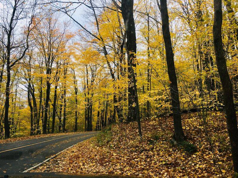
The name practically hands you a season, but the appeal goes beyond that easy joke. October Mountain State Forest near Lee offers a large woodland setting where fall can be enjoyed one bend, stream crossing, and bright stand of trees at a time.
Do not arrive expecting every trail to end at a sweeping lookout. Much of the pleasure comes from being inside the forest, where yellow leaves catch soft light and red branches stand out against darker evergreens. That makes an overcast day a reasonable choice rather than an automatic disappointment.
Because the forest covers a broad area, choosing a specific route matters. Use an official map to identify a trailhead and a manageable outing before you start driving. Roads and trails can serve different uses, so confirm which paths fit the walk you actually want.
A shorter out-and-back can be a smart first visit. You can adjust the distance without committing to an unfamiliar loop, and the return walk often reveals colors you missed while heading out. Still, mark your starting point and carry an offline map instead of trusting memory alone.
Expect wet ground in low spots after rain, and leave shoes that cannot handle mud at home. Pack water, snacks, and an extra layer even when the route sounds modest. With fewer obvious landmarks than an open summit hike, a quiet forest trip rewards steady attention to signs and junctions.
Late morning can provide useful light beneath the canopy, especially when sunshine reaches through thinner branches. Pause beside the trail rather than standing in its center while taking pictures. Check current state notices for access changes and seasonal recreation rules, including guidance related to hunting where permitted.
Wearing bright colors is a sensible fall habit. Give yourself enough daylight to return without rushing, and keep a headlamp in your pack as backup for unexpected delays along the way.
4. World’s End: Harbor Breezes and Hingham Foliage
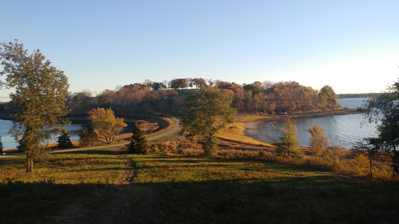
Trade the summit scramble for a harbor breeze. World’s End in Hingham pairs autumn trees with open fields and coastal water, giving you a fall walk that has more breathing room than a tight mountain trail.
The property’s carriage roads make route planning fairly approachable, although hills and walking distance still deserve respect. Pick a loop from the current map that matches your group rather than assuming the entire visit will be flat. Comfortable walking shoes with traction are useful when leaves collect on the paths.
Coastal foliage often follows a different schedule from the higher Berkshires. Watch local conditions instead of copying the date of a mountain trip farther west. Even when some trees have already dropped leaves, the mix of grassland, branches, and harbor views can keep the walk visually interesting.
Wind is the detail that catches unprepared walkers. A sunny parking area can seem warm while an open stretch near the water is chilly. Pack a light windproof layer, and secure loose hats before stopping for photos where the path opens toward the harbor.
Wide views reward a slower pace here. Look for colorful trees framing the water, or use the curve of a carriage road to lead the eye through a photograph. Keep to designated routes and respect meadow closures or other posted rules rather than cutting across open ground for a different angle.
Before heading out, check The Trustees’ current admission, parking, and reservation requirements. Popular fall weekends can require more planning than a casual weekday stroll. Bring your own water and a snack, and leave room in your schedule to enjoy a bench or another permitted resting spot.
For a quieter visit, choose an earlier arrival or a less crowded day when possible. The final stretch may be breezy, so keep that extra layer handy instead of burying it beneath everything else in your bag.
5. Mount Greylock: High-Country Fall in Lanesborough
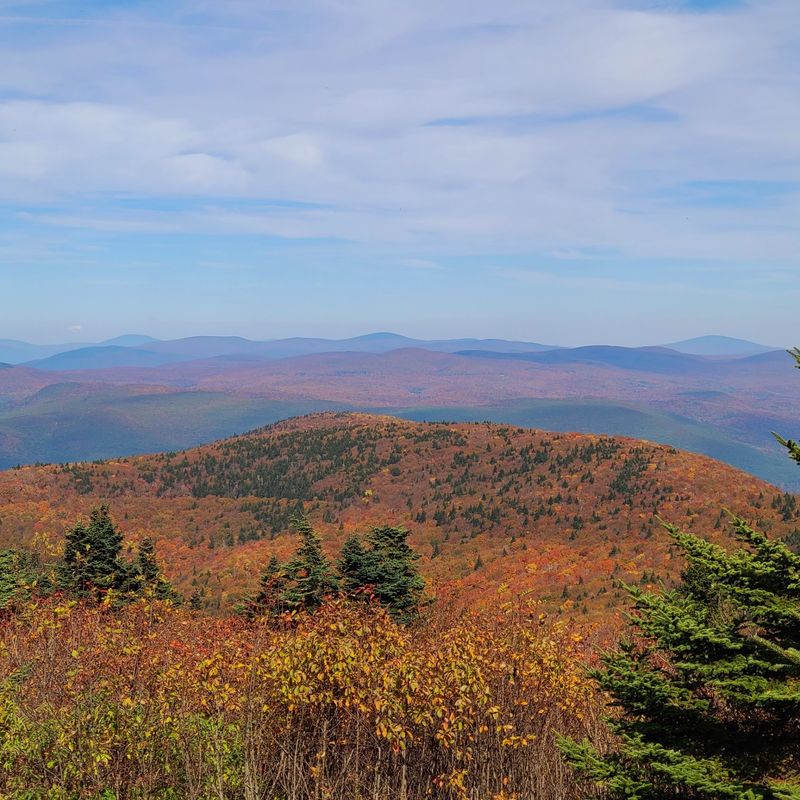
Pack for the summit, not the driveway. Mount Greylock is Massachusetts’ highest peak, and an autumn hike here can move from mild woodland air into wind and cold that make an extra layer suddenly seem very clever.
The reservation is associated with Lanesborough and nearby Berkshire towns, but trailheads are spread across different approaches. Decide where you are starting before setting your navigation. A short summit-area walk and a full climb from lower ground are very different outings, even though both share the same mountain name.
Higher elevations may show fall changes earlier than the valleys below. They can also lose leaves sooner after rough weather, so check recent reports rather than waiting for one statewide peak announcement. The view often includes several stages of autumn at once across the surrounding hills.
Choose mileage and elevation gain that match your group’s experience. Rocky sections, damp leaves, and colder conditions can slow the pace more than expected. Carry enough water and food for the route you selected, along with a headlamp and an offline trail map.
At the summit, look for the Veterans War Memorial Tower and broad views when visibility allows. Fog can hide the distant ridges completely, so treat a clear forecast as helpful, not guaranteed. Any building access or seasonal services should be checked in advance instead of counted on for warmth or supplies.
Road access changes seasonally, and weather can affect travel plans before the usual closing period. Confirm current state information before leaving home, especially if your route depends on reaching an upper parking area. Start with enough daylight to descend at a steady pace, and turn back if conditions worsen.
Gloves and a warm hat take little space but can improve a chilly break. Save summit photos for a secure spot, then put the phone away while stepping down wet or leaf-covered rock.
6. Purgatory Chasm: Sutton’s Rocky Fall Adventure
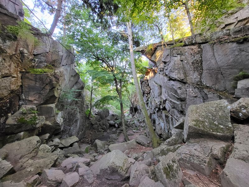
Here, the rocks steal a little attention from the leaves. Purgatory Chasm State Reservation in Sutton offers a dramatic granite passage where autumn branches hang above large boulders, turning a foliage outing into a more hands-on walk.
The chasm route is not an ordinary smooth trail. Expect uneven rock, awkward steps, and places where careful balance matters more than speed. Anyone who prefers steady footing should study the surrounding trail options and choose a route that avoids the hardest terrain.
Dry weather makes a major difference. Wet granite can be slick, and fallen leaves may hide the exact shape of a landing spot. Check current conditions and posted restrictions before entering the chasm, since access can change with weather and seasonal safety concerns.
For families, set expectations before reaching the rocks. Children need close supervision, and jumping between boulders is a poor substitute for careful walking. Keep hands free when possible by carrying water and extra clothing in a small backpack instead of juggling bags or an open drink.
The surrounding woods deserve time too. Their trails offer another way to enjoy fall color without spending the whole visit focused on the next foothold. Use the official map to connect only the paths you intend to walk, and avoid climbing onto formations simply because someone else has done it.
Photographs work best when they show the contrast between gray stone and bright leaves overhead. Stop in a place that does not block the route, then put the camera away before moving again. Shoes with firm grip are essential, while loose soles or casual sandals can make the outing unnecessarily difficult.
Bring a layer for shaded stretches, which may be cooler than nearby open areas. Before departure, review the reservation’s current rules and facilities information. Plan a modest distance first, then extend the walk only if everyone remains comfortable with the terrain.
7. Peaked Mountain: A Quiet Climb Above Monson
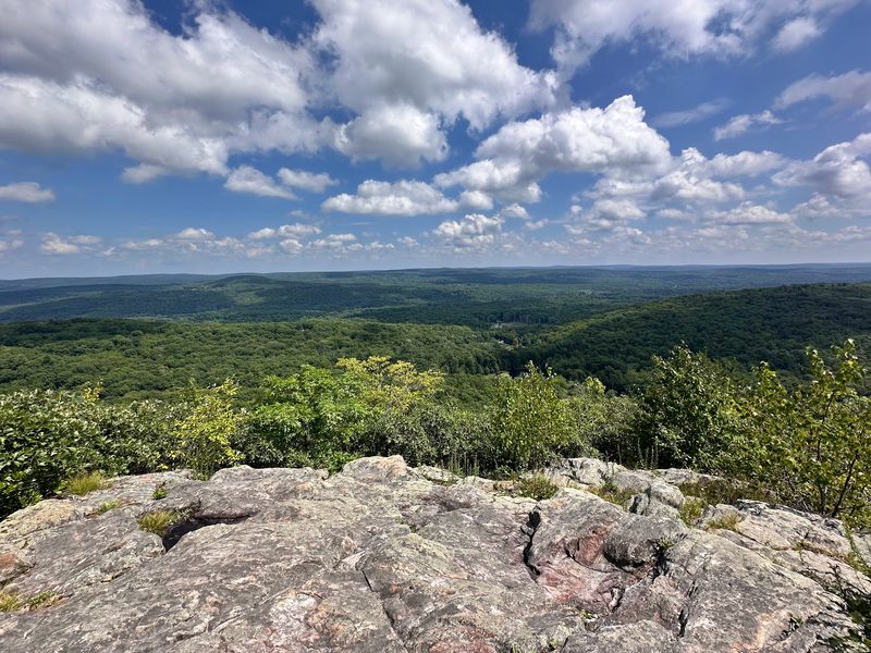
A modest hill can still deliver a generous view. Peaked Mountain in Monson combines a woodland climb with an open outlook, making it a useful choice when you want autumn scenery without planning an entire mountain day.
The reservation includes different walking areas, so check The Trustees’ map before choosing a trailhead. The summit hike and routes around nearby woodland or water do not all offer the same experience. Decide whether your main goal is an overlook, a quieter stroll, or a longer combination.
On the climb, save some attention for the woods rather than rushing straight upward. Leaves at eye level can be just as striking as the distant hills, particularly when sunlight catches a small patch of yellow or red. A slow pace also helps you spot roots beneath the seasonal leaf cover.
Although the outing can be manageable for many walkers, uphill sections still take effort. Wear supportive footwear and bring drinking water instead of treating the mountain as a casual roadside stop. A warm layer is useful for the exposed viewpoint, where cooling down after the climb can happen quickly.
At the top, settle into a safe position before unpacking snacks or taking pictures. Give other hikers room to enjoy the outlook, and keep dogs under the control required by current property rules. The best photograph may come from stepping back from the busiest spot, not edging closer to a drop.
Clear weather helps reveal the landscape beyond Monson, while cloudy skies can make nearby foliage easier to photograph without harsh shadows. Choose the day based on the kind of walk you want rather than waiting endlessly for perfect conditions. Check access notices and parking guidance before setting out.
Carry the route on your phone and keep enough battery for navigation afterward. As afternoon light fades, start down with time to handle slippery leaves slowly and finish without needing to hurry.
8. Mount Sugarloaf: River Bends Near South Deerfield
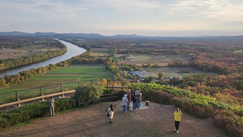
Look down, and the river becomes part of the show. Mount Sugarloaf State Reservation near South Deerfield offers a well-known view of the Connecticut River and nearby farmland, with fall trees adding bright borders to the valley below.
South Sugarloaf is the usual focus for that classic overlook, but the reservation’s map should guide your exact plan. Do not assume every route leads to the same view or has the same difficulty. A relatively short climb can still include a steep stretch that raises your breathing rate.
Choose a clear day if the broad valley scene is your main reason for visiting. Morning or later afternoon light can reveal texture in the fields and wooded slopes, although low sun may also create glare. Keep your schedule loose enough to pause when the light improves.
Trails can be slick under a fresh covering of leaves. Walk carefully on descending sections, and avoid using roadside routes without understanding the current access arrangement. Seasonal vehicle access and pedestrian options may differ, so check official information before building your day around a particular approach.
At the viewpoint, the scenery has several layers. Nearby trees provide color, the river adds a curved line, and distant hills form the background. Instead of photographing only the far horizon, include part of the foreground to make the image easier to read.
Bring water even for a short outing, plus a jacket for a breezy stop above the valley. Busy weekends call for patience around parking and shared viewing areas. Keep children close near steep edges, and step aside before sorting through photos or opening a snack.
If your group wants a longer walk, research additional reservation trails in advance rather than adding an uncertain route at the summit. Finish while there is good light under the trees, where autumn afternoons can become dim well before the open sky does.
9. Blue Hills: Boston-Area Color With Real Climbing
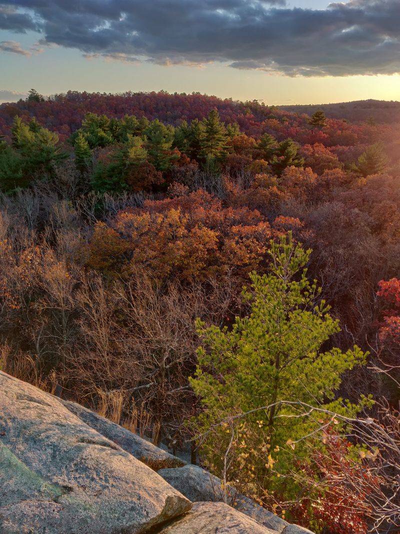
Close to Boston does not mean flat or effortless. Blue Hills Reservation near Milton has rocky climbs, wooded paths, and viewpoints that can turn a simple fall outing into a satisfying workout without a drive to western Massachusetts.
The trail network is extensive, so pick a route rather than wandering from one promising sign to another. Great Blue Hill is a familiar destination, while other areas offer different combinations of woods, ponds, and ridges. Download the official map and note the junctions you need before starting.
Fall color here is best judged locally. Coastal weather and the mix of tree species can keep the season moving at a different pace from inland peaks. Watch recent conditions, then choose a day with enough visibility if seeing the skyline is part of your plan.
Rocky ridge trails deserve a realistic estimate of time. A mile across uneven stone can take longer than a mile on a smooth woodland path, especially with children or tired legs. Start with a route everyone can finish comfortably, and resist adding another hill just because it looks close on the map.
Carry water, a snack, and a light jacket. Exposed spots can be windy, while sheltered stretches may seem warm during the climb. Put your phone away on rough sections, and pause on stable ground when checking navigation or taking a photograph.
Some trailheads attract heavy weekend use, so consult current parking information and arrive with a backup plan that does not involve blocking a road. Follow posted rules around sensitive areas and facilities. If you want a quieter experience, consider a less popular route after checking its difficulty and access.
Autumn light drops quickly beneath the canopy, so leave time for the return rather than spending every bright minute at an overlook. A small headlamp is sensible insurance, even when the city seems only a short distance away.
10. Mount Watatic: An Open Summit Near Ashburnham
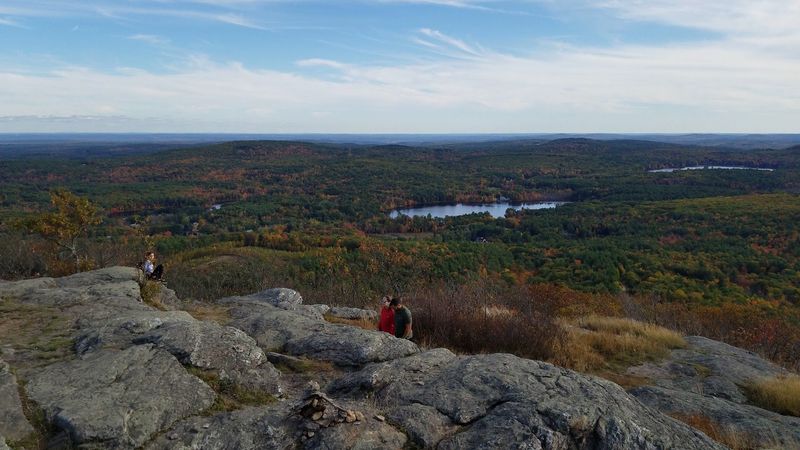
The payoff arrives when the woods give way to open rock. Mount Watatic near Ashburnham offers an exposed summit setting where fall color stretches beyond individual trees into a broad pattern of wooded hills.
That open ground is a good reason to carry another layer. You may warm up during the climb, then cool quickly once wind reaches your damp shirt. A light jacket, warm hat, and snack can make a summit pause much more comfortable.
Use a current trail map to select your approach and confirm the parking location. The mountain sits near the New Hampshire border, and connecting trails can lead beyond the outing you intended. Knowing which markers to follow is easier than correcting a wrong turn late in the day.
The climb includes rocky footing and uphill effort, so choose shoes with reliable traction. After rain, exposed stone and leaf-covered sections need extra care. Trekking poles can help with balance on the descent, especially when legs are tired from the climb.
For foliage timing, check reports from northern central Massachusetts rather than relying on Boston’s trees. A clear forecast helps with distant views, but wind can make lingering uncomfortable even under blue skies. Watch changing conditions and shorten the stop if clouds lower or temperatures drop.
Once you reach open ground, spread out only where it is safe and permitted. Avoid trampling low plants while searching for a cleaner photograph, and keep away from any steep edges. Parking space can be limited, so arrive thoughtfully and never leave a vehicle where it obstructs access.
Bring an offline map, enough water, and a headlamp for backup. Begin descending while there is still strong daylight in the woods. The final steps may be less dramatic than the summit view, but they require just as much attention when loose leaves cover the trail’s rocks and roots.
11. Skinner State Park: Hadley’s Summit House View
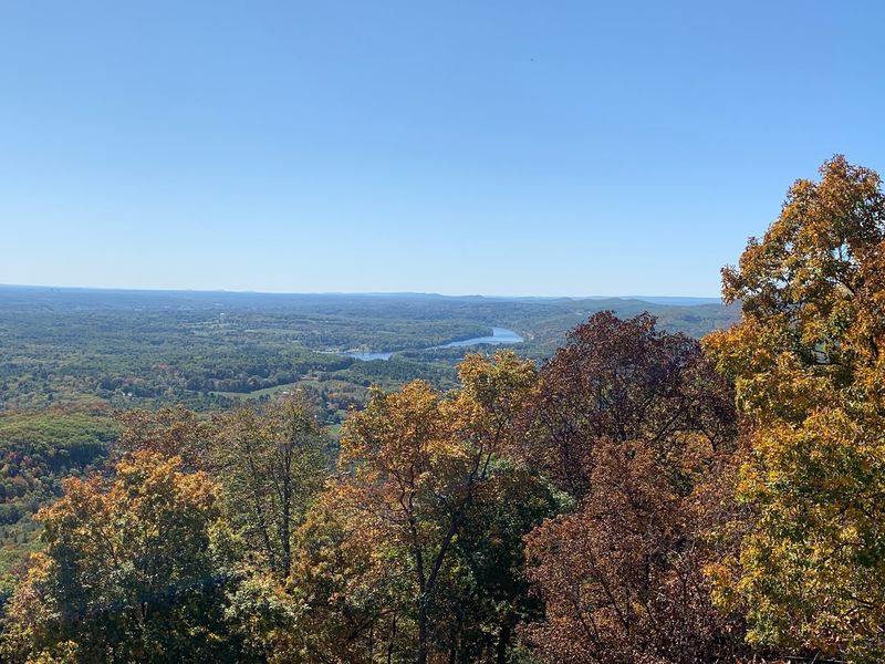
A historic summit building gives this climb a clear destination. At Skinner State Park in Hadley, the Mount Holyoke Summit House stands above the Connecticut River Valley, where autumn woodland meets farmland and the river’s broad curves.
Decide first whether you want a substantial uphill hike or a shorter walk using available upper access. Seasonal road conditions can affect that choice, and building hours are a separate matter. Check the state’s current information instead of assuming the road and Summit House are both open.
The wooded climb provides plenty to notice before the panorama appears. Bright leaves gather around rocky steps, and gaps in the canopy offer changing light as you gain height. Keep your pace steady, since a scenic pause is more pleasant when you are not struggling to catch your breath.
At the summit, take time to read the landscape. The contrast between colorful slopes and open valley land gives the view more shape than a forest-only panorama. Clear air is helpful, while haze can soften the distant details even on a sunny afternoon.
Wear shoes suited to uneven trails and pack a windproof layer for the top. A dry shirt or another warm layer may be useful after a sweaty climb in cool weather. Carry your own water and food rather than relying on seasonal facilities to supply what you need.
Weekend crowds can collect near the main viewing area, so share space and step aside once you have taken your pictures. Keep younger hikers close around steep terrain, and do not cross barriers for a wider angle. Study your return route before leaving the summit, especially if several trail choices meet nearby.
Allow more time for the descent when fallen leaves are damp. Before driving home, check that everyone has warmed up and had water. A valley overlook is a fine reward, but a comfortable return should remain part of the plan.
12. Wachusett Mountain: Princeton’s Wide Autumn Outlook
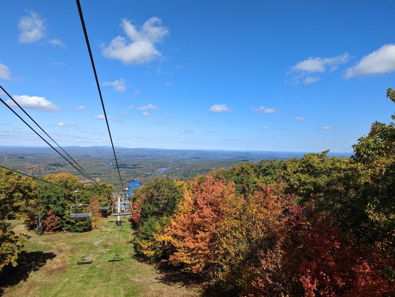
One hill, several ways to spend your energy. Wachusett Mountain State Reservation in Princeton gives you a choice of hiking approaches, with a summit view that makes the surrounding fall forest look much larger than it did from the trailhead.
Pick your route by both distance and steepness. Some approaches demand more climbing than others, and combining trails into a loop requires attention at junctions. Use the official map to match the walk to your group rather than following whichever trail has the most cars nearby.
Summit conditions can differ sharply from the sheltered woods. Wind, low cloud, or a sudden temperature drop may shorten your break, even when the drive felt mild. Pack a warm layer and check the mountain forecast before committing to a leisurely picnic at the top.
Along the trail, fall scenery is not limited to bright overhead leaves. Look for mossy stone, patches of evergreen, and leaf color against dark trunks. Overcast light can be especially useful for forest photographs, while clear weather is better for seeing far beyond the summit.
Keep to marked trails and respect protected natural areas. Cutting corners around switchbacks or stepping off route for pictures can damage plants and worsen erosion. Fallen leaves also hide uneven surfaces, so give the descent more attention than the uphill view might suggest.
Check current summit road access, parking rules, and any seasonal notices before arriving. A drivable road does not mean every hiking route is easy, and seasonal operations can change where you should leave your car. Bring water, snacks, and a charged phone with the map saved offline.
On busy days, move away from crowded photo spots only onto safe, permitted ground. Set a turnaround time before the climb and keep it even if the color is excellent. The last wooded stretch will be darker than the summit, especially late on an autumn afternoon.
13. Middlesex Fells: Stoneham’s Forest-and-Water Escape
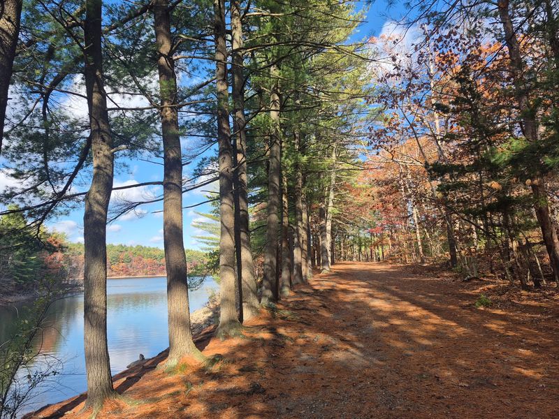
You do not need a distant mountain to get lost in fall color, but you do need a map. Middlesex Fells Reservation near Stoneham has a branching trail network where a casual walk can become a longer outing if you stop watching the junctions.
Choose a specific starting point and route before leaving home. Some trails cross rocky hills, while others offer different woodland or water views. The well-known Skyline Trail is a more demanding option than its nearby setting might suggest, so do not treat every Fells route as a gentle park stroll.
Water adds variety to the autumn scenery. Where public trails provide permitted access, look for reflected leaves and dark evergreens along the shore. Follow signs carefully around reservoirs and restricted areas, since a tempting shoreline does not automatically mean you may walk beside it.
For a calmer first visit, plan a manageable loop with obvious landmarks. Save the map offline and check your position at intersections rather than waiting until you are unsure. Trail colors and names can be more useful than guessing which path looks most worn.
Wear shoes that handle roots and rock, and bring enough water even in cool weather. A shorter route can still involve repeated small climbs that add up by the final mile. Keep headphones low or skip them so you can hear other trail users approaching shared sections.
Autumn weekends may bring crowded parking areas, making an early start useful when your schedule allows. Check current rules for dogs, bicycles, and other activities on your chosen route rather than assuming every trail has the same restrictions. For pictures, wait for a patch of still water or sunlight reaching a colorful branch.
Stand clear of the walking line while you shoot. Set a return time and keep a small headlamp handy, because shaded forest paths lose usable light sooner than nearby streets and open spaces.
14. Bash Bish Falls: Waterfall Color in Mount Washington
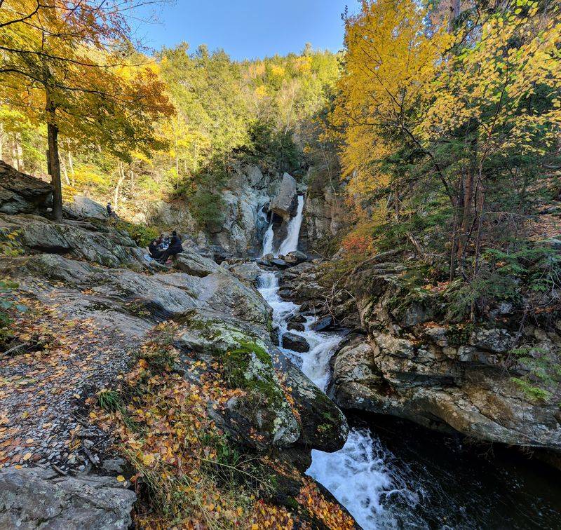
Falling water changes the soundtrack of a foliage hike. At Bash Bish Falls State Park in Mount Washington, the autumn draw is the contrast between a rocky ravine, bright leaves, and the waterfall rather than a broad summit panorama.
Planning matters here because Massachusetts and nearby New York approaches have different parking locations and terrain. Research the route you intend to use, then check current official notices for access restrictions or closures. Do not let your navigation app choose the hike without understanding where it is sending you.
The Massachusetts approach includes steep ground, while the nearby New York approach generally offers a less steep walk. Neither choice removes the need for sensible shoes and close attention. Compare current trail information with your group’s ability before deciding which side suits the day.
Waterfall viewing is not an invitation to enter the water. Follow all posted rules, remain in permitted viewing areas, and stay off slippery rocks near the falls. Wet leaves and spray can make surfaces treacherous, even when the weather elsewhere is dry.
For photographs, include autumn branches around the waterfall instead of zooming in until the season disappears. Cloudy light may help balance bright water and shaded rock. Avoid blocking steps or narrow passages while using your phone, and keep children close throughout the approach and viewing stop.
Bring water and a warm layer because the ravine can be cool. Cell service may be unreliable, so save directions and trail information before entering the area. Allow enough time for the climb back to your chosen parking lot, particularly if the return is uphill.
Respect barriers even when another visitor ignores them; conditions near moving water can change quickly. If access is limited, choose another outing rather than seeking an unofficial route. Finish with a careful return through the woods, where roots and loose leaves deserve the same focus as the waterfall.
15. Mount Holyoke Range: Ridgeline Color Near Amherst
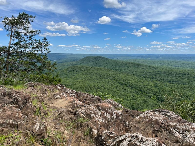
Several small climbs can add up to a surprisingly big day. Mount Holyoke Range State Park near Amherst follows a rugged ridgeline, where fall views appear between stretches of woodland and repeated rises that keep your legs busy.
The Notch Visitor Center area is a useful place to begin planning, but confirm current hours and services before relying on the building. Study the state trail map to choose a specific destination. A short out-and-back toward a viewpoint can be wiser than committing to a long ridge traverse on your first visit.
Do not judge difficulty by distance alone. Rocky footing and repeated elevation changes can slow progress, especially on trails along the range. Leave room in your schedule for careful descents, photo stops, and a break that is not squeezed into the final minutes of daylight.
Autumn color shows up at two scales here. Nearby leaves brighten the trail, while openings reveal wooded slopes and the wider valley. Clear skies favor distant views, but soft cloud cover can make the close-up forest colors easier to capture.
Bring more water than you might expect for a cool day, along with food and a layer for exposed sections. Keep your hands available on rough terrain, and stow the camera before stepping across uneven rock. Trekking poles may help, provided you use them without catching tips between stones.
Plan the return just as carefully as the outward hike. Some routes require retracing your steps, while longer point-to-point walks need transport arranged beforehand. Check seasonal notices and recreation guidance, and wear bright clothing during applicable hunting seasons.
Stay on marked paths rather than cutting across steep slopes for a clearer view. Turn around when your agreed time arrives, even if another overlook sounds tempting. The ridgeline will offer other chances on another day; tired legs on leaf-covered rock are a poor reason to stretch the afternoon beyond your group’s comfort.