A hawk circles above Cape May while, 170 miles north, hikers scramble across a rocky ridge with three states spread beneath them. Between those two scenes lie cedar-dark rivers, canal paths, waterfalls, swimming lakes, and enough trail mileage to wear through a new pair of boots.
New Jersey packs an almost unfair variety of outdoor escapes into its compact borders, and the right town can put you within minutes of the action. These seven communities work especially well as adventure bases because the fun does not end at the trailhead.
You can paddle all morning, grab lunch on a walkable main street, and still squeeze in a sunset ride or an easy waterside stroll. Some destinations suit serious hikers; others favor cyclists, birders, paddlers, or families looking for a gentler outing.
Pack water, bug spray, and shoes that can handle a little mud. The Garden State is about to earn its nickname.
1. Branchville
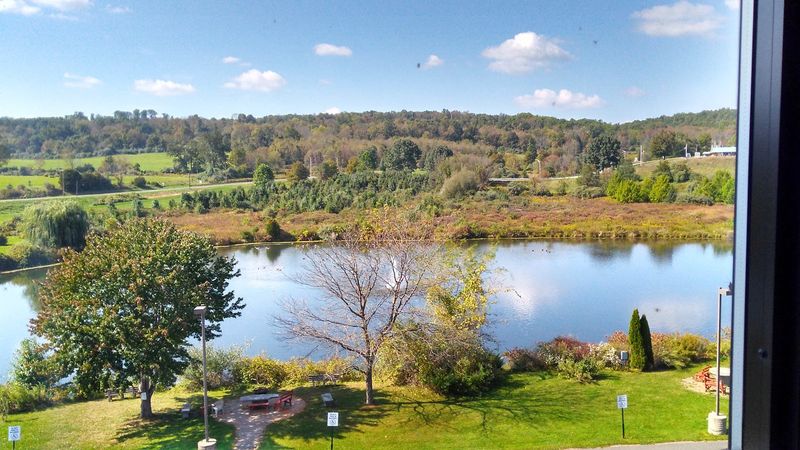
Follow Route 206 into Sussex County, and the scenery quickly shifts from suburban New Jersey to wooded ridges, old farm fields, and roads that seem determined to lead somewhere wild.
Branchville sits beside Stokes State Forest, giving hikers an exceptionally convenient base for exploring more than 60 miles of marked trails through the Kittatinny Mountains.
Sunrise Mountain is the headline outing. The Appalachian Trail crosses its ridge, where an overlook pavilion opens onto broad views of forest, farmland, and distant peaks.
Drivers can reach the summit seasonally, but walking the ridge gives the panorama a more satisfying sense of arrival. For a cooler, shadier adventure, head to Tillman Ravine.
Its mossy rocks, rushing stream, and hemlock canopy feel refreshingly secluded, particularly after rain. The forest also has campsites, cabins, picnic areas, fishing spots, and trails open to mountain bikers and horseback riders.
Stony Lake provides a pleasant place to slow down after a long hike, while the Appalachian Trail invites ambitious visitors to keep going well beyond the day-use areas. Branchville itself is tiny, relaxed, and refreshingly free of fuss.
Stop for diner food, browse the local shops, and stock up before entering the forest, where cell service can be inconsistent. Download a trail map ahead of time and check seasonal road access, especially if Sunrise Mountain or nearby Buttermilk Falls is on the plan.
2. Blairstown
The view from Mount Tammany does not come cheaply. Reaching it requires a steep, rocky climb that gains roughly 1,200 feet in just over a mile, but the payoff is one of New Jersey’s defining vistas: the Delaware River cutting between Mount Tammany and Pennsylvania’s Mount Minsi.
Blairstown makes a smart home base for that climb and the wider Delaware Water Gap region. Experienced hikers can tackle the Red Dot Trail and return on the Blue Trail for a demanding loop.
Those who prefer their scenery without the scramble can walk beside Dunnfield Creek, follow part of the Appalachian Trail, or seek out waterfalls and quieter paths elsewhere in the recreation area. The Delaware also supports paddling, fishing, and riverside picnics along its 40-mile protected corridor.
Come early if Mount Tammany is the priority. Trailhead parking can fill rapidly on fair-weather weekends, and the rocky route demands sturdy footwear, plenty of water, and more time than its mileage suggests.
Conditions around Old Mine Road and some northern park areas may change, so checking alerts before leaving home is a good habit. Back in town, Blairstown trades trail markers for Victorian houses, a stone mill, and a compact Main Street.
The famous Blairstown Diner supplies the pop-culture curiosity—it appeared in the original “Friday the 13th”—but it also serves the kind of straightforward meal that makes sense after a morning on the ridge.
3. Lambertville
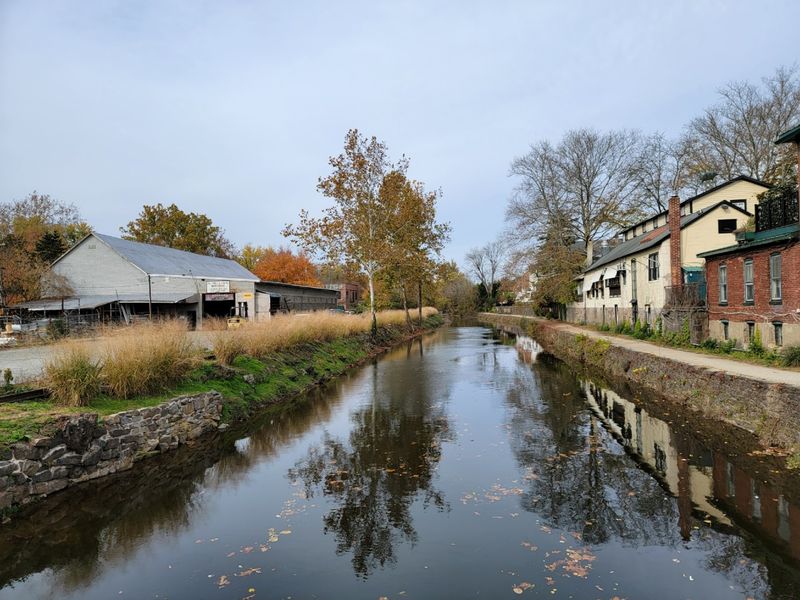
Bicycle tires crunching over fine gravel are part of Lambertville’s soundtrack. The Delaware and Raritan Canal towpath runs directly through town, turning this polished river community into one of New Jersey’s easiest places to combine outdoor time with a leisurely afternoon downtown.
The towpath is mostly flat, which makes it approachable for casual cyclists, walkers, and runners. Point your handlebars north toward Stockton, Bull’s Island, and Frenchtown, or head south for a shorter outing before returning for lunch.
The canal stays close beside the route while glimpses of the Delaware appear through the trees. Watch for herons along the water and give yourself room to pass other trail users on busy weekends.
Paddlers can explore the canal or arrange a Delaware River trip when conditions permit. Rentals are available locally, so an adventure here does not require hauling a garage full of equipment.
If you want a longer ride, use one of the area’s bridges to connect with Pennsylvania’s canal path and create a two-state loop. Lambertville’s appeal becomes clearest when the bike is locked up.
Bridge Street and the surrounding blocks are packed with galleries, antique stores, cafés, and historic rowhouses, all within an easy walk. Parking close to the center gets competitive on sunny weekends, so arrive early or use a public lot slightly outside the busiest blocks.
With roughly 70 miles of canal park to explore, the outing can be as easygoing or ambitious as you like.
4. Frenchtown
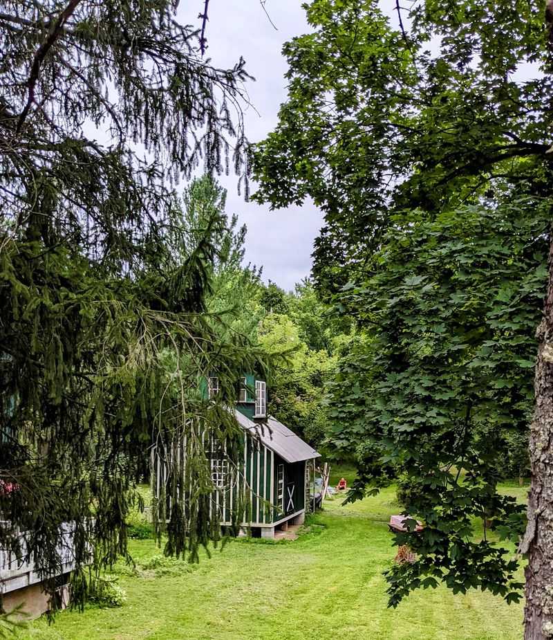
A red steel bridge, a broad river, and brightly painted storefronts give Frenchtown an almost storybook first impression. The town is small enough to cross on foot, yet it sits at the center of a remarkably flexible network of cycling, walking, and paddling routes.
The Delaware and Raritan Canal towpath passes along the river here, offering a level trail south toward Bull’s Island, Stockton, and Lambertville. Cross into Pennsylvania and another canal path waits on the opposite bank, allowing cyclists to build a loop rather than retrace the entire ride.
Bull’s Island makes a particularly useful turnaround point, with picnic space, river access, and a pedestrian bridge designed by the same engineering family associated with the Brooklyn Bridge. Summer brings kayaks, canoes, and tubes to the Delaware.
The river can look calm from shore while still carrying a strong current, so use a reputable outfitter, wear a life jacket, and choose a trip suited to current water levels. Backroads through Hunterdon County provide another option for confident road cyclists, though narrow shoulders demand attention.
Afterward, Race Street and Bridge Street reward lingering. Independent shops, galleries, bakeries, and cafés occupy a collection of historic buildings that feels pleasantly eclectic rather than overly polished.
Grab something sweet, find a bench near the river, and let tired legs recover. On warm weekends, earlier is better for both parking and a quieter stretch of towpath.
5. Hammonton
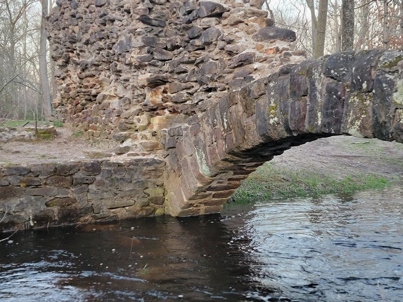
The water in the Pine Barrens is the color of strong tea, stained by tannins released from fallen cedar needles and leaves. Paddle into one of those narrow waterways near Hammonton, and the outside world disappears behind cedar trunks, sandy banks, and sharp bends that keep the next stretch hidden.
Hammonton stands on the western edge of Wharton State Forest, the largest tract in New Jersey’s state park system. Canoeists and kayakers come for the Mullica, Batsto, Wading, and Oswego rivers, where trips range from easy half-day floats to longer journeys requiring careful planning.
Routes can change when fallen trees or low water create hazards, so confirm access before launching rather than trusting an old itinerary. Dry-land explorers have plenty to do as well.
The 9.4-mile Mullica River Trail links the Atsion area with Batsto Village, passing pine forest, wetlands, and a wilderness campground. Shorter trails around Batsto reveal the remains of a community once shaped by ironmaking and glass production.
The village’s mansion, sawmill, general store, and workers’ homes add an unexpected history lesson to a day outdoors. Sand roads are part of the Pine Barrens experience, but not every vehicle—or driver—belongs on them.
Stick to designated parking and marked routes. Then return to downtown Hammonton for Italian food, a brewery stop, or a slice of blueberry pie in the self-proclaimed Blueberry Capital of the World.
6. Cape May
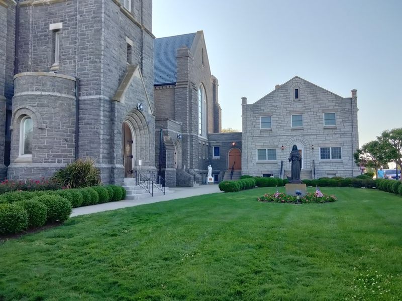
Bring binoculars to the beach. At New Jersey’s southern tip, the usual Shore routine of swimming and sunbathing shares space with migrating hawks, monarch butterflies, shorebirds, and birders who can identify them before most people have finished saying, “What’s that?” Cape May Point State Park is the outdoor anchor.
Its 244 acres contain dunes, ponds, coastal forest, freshwater meadows, and several easy trails. The Monarch Trail forms a manageable loop through varied habitat, while the longer Plover Trail reaches the beach and passes a World War II gun battery.
Fall is the marquee season for hawk migration, but spring songbirds, summer shorebirds, and winter waterfowl keep the area interesting throughout the year. The 157-foot Cape May Lighthouse adds a vertical challenge.
Climb its 199 steps for a sweeping look at the peninsula, then continue by bicycle toward Sunset Beach or back into Cape May. The mostly flat terrain suits relaxed riding, though summer traffic calls for extra care.
Early mornings are ideal for quieter streets and active wildlife. Cape May also makes recovery easy.
Park the bike and walk among Victorian buildings, grab seafood or breakfast, and wander the car-free Washington Street Mall. Beach parking and lighthouse-area spaces become scarce on peak summer days, so start early or explore by bike.
Trail sections sometimes close to protect nesting birds, and visitors should always respect posted barriers.
7. Montague
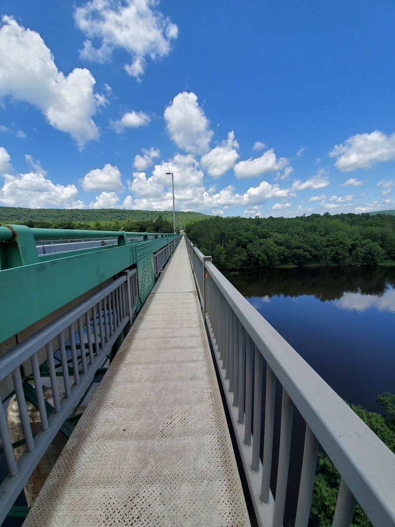
At 1,803 feet above sea level, the roof of New Jersey rises from the forests of Montague. High Point Monument marks the summit, and on a clear day the surrounding overlooks stretch across New Jersey, New York, and Pennsylvania—a three-state view earned with surprisingly little travel.
High Point State Park surrounds the summit with more than 50 miles of trails. The 3.5-mile Monument Trail provides a satisfying loop through forest and along the ridge, while the Appalachian Trail crosses the park for hikers craving rougher terrain or a longer day.
The Cedar Swamp Trail offers something entirely different: a boardwalk route through an unusual Atlantic white cedar bog high in the mountains. Warm weather opens additional possibilities.
Lake Marcia has a designated swimming area, and Steenykill Lake is a quiet spot for paddling and fishing. Autumn paints the ridges in layers of orange and red, while winter turns designated routes into terrain for cross-country skiing, snowshoeing, and other cold-weather recreation.
This is not merely a one-season town. Montague has a rural, far-north character, so plan meals and fuel stops instead of assuming another commercial strip will appear around the bend.
Bring layers, too; summit weather can feel cooler and windier than conditions in the valleys. The monument and some park roads may have seasonal access restrictions, but the trails keep the area compelling even when the drive-up experience is unavailable.