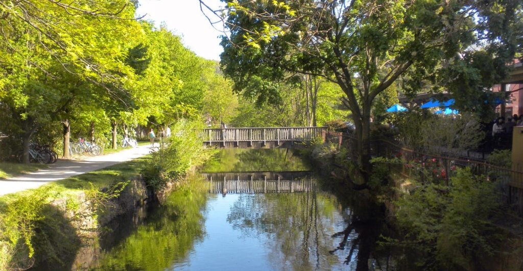
A narrow ribbon of water, a row of sycamores, and the occasional stone lock are enough to make traffic and strip malls feel much farther away than they really are. The Delaware and Raritan Canal trail system runs for roughly 70 miles, but treating it as one enormous outing misses half the fun.
Its personality changes constantly. One stretch follows the broad Delaware River past tiny towns and old mills; another slips behind Princeton beneath graceful bridges.
Farther northeast, the towpath enters farm country, passes historic canal houses, and eventually approaches the Raritan River in New Brunswick. Most of the route is remarkably level, making it approachable for walkers and cyclists who prefer scenery without punishing climbs.
The key is choosing a section that matches the day you want: quiet woods, downtown treats, Revolutionary history, or an easy family ride. These ten stretches each offer enough character to deserve an outing of their own.
1. Frenchtown to Bulls Island
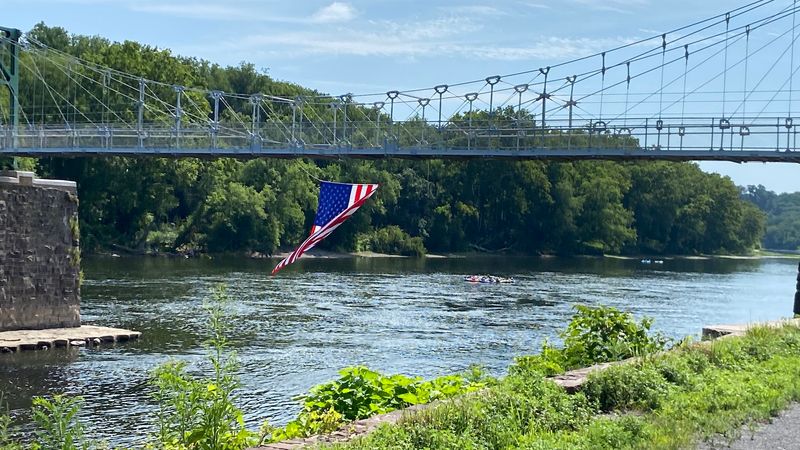
Start with coffee in Frenchtown, then leave the colorful storefronts behind as the trail settles beside the Delaware River. This northern section differs from much of the canal route because it largely follows a former railroad corridor rather than the original towpath.
The result is a broad, level track with long sightlines through woods, occasional glimpses of the river, and fewer reminders of suburban New Jersey. Stone faces rise near parts of the route, while sycamores and maples provide generous shade during warmer months.
The distance to Bulls Island makes this a satisfying bicycle ride, though walkers can simply turn around whenever they have had enough. Bulls Island gives the trip a strong finish, with picnic tables, restrooms, river access, and a natural area where enormous trees make an easy bonus walk worthwhile.
The pedestrian bridge across the Delaware also creates the possibility of extending the outing into Pennsylvania, depending on current access conditions. Autumn is especially handsome here, but fallen leaves can hide small ruts and loose stones, so cyclists should keep an eye on the surface.
Park in Frenchtown if you want to end near restaurants and shops, or begin at Bulls Island for easier access to park facilities. Either way, this stretch feels pleasantly removed without requiring a complicated backcountry plan.
2. Bulls Island to Stockton
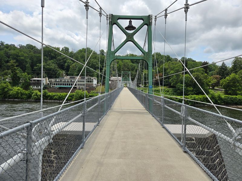
A wooden footbridge, an old mill complex, and a canal squeezed between river and hillside give this section more visual variety than its modest mileage suggests. Leaving Bulls Island, the path runs south through a leafy corridor that often feels cooler than the nearby road.
The Delaware appears through breaks in the trees, while the narrow canal remains close on the opposite side. Before reaching Stockton, the route passes the Prallsville Mills complex, a collection of historic stone and wooden buildings at the mouth of Wickecheoke Creek.
It is the natural place to pause, take photographs, and inspect the remains of the region’s industrial past. From there, Stockton is close enough to make lunch part of the plan rather than an afterthought.
The borough’s compact center has food, drinks, and a market within easy reach of the trail. Bulls Island and Stockton both provide logical turnaround points, so this is particularly convenient for two-car groups arranging a one-way walk.
Cyclists can cover it quickly, but rushing would defeat the appeal; the mill, creek, canal structures, and river views reward frequent stops. Spring brings fresh green along the water, while fall adds color to the wooded slopes.
After heavy rain, expect damp patches and scattered debris beneath the trees. For an easy half-day excursion with history at the midpoint and refreshments at the finish, this segment is hard to improve upon.
3. Stockton to Lambertville
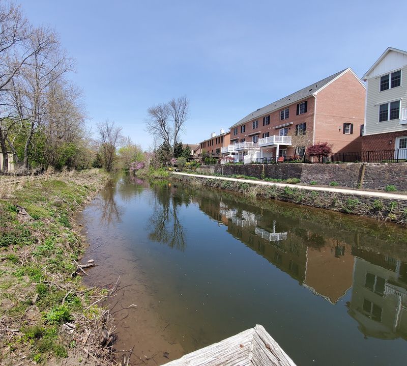
The reward at the end of this ride might be a bakery counter, a riverside lunch, or simply the satisfaction of rolling into one of New Jersey’s best walking towns without searching for another parking space.
South of Stockton, the trail follows the feeder canal through a corridor bordered by the Delaware River and Route 29.
The path remains mostly level, and the manageable distance makes it a smart choice for casual cyclists, older children comfortable on gravel, and walkers who can arrange a ride back. Unlike more isolated northern stretches, this one creates a clear connection between two small downtowns.
Stockton provides a quiet starting point, while Lambertville supplies the livelier finish with galleries, restaurants, antique shops, and benches overlooking the river.
Approaching town, industrial remnants and canal structures begin appearing more frequently, signaling the transition from countryside to historic commercial center.
The crushed-stone surface is generally friendly to hybrid and gravel bikes, although narrow tires can feel less steady after wet weather. Weekend mornings are the sweet spot if you want cooler temperatures and a calmer trail; Lambertville becomes much busier by midday.
Parking may require patience during festivals or peak fall weekends. Consider making the trip an out-and-back, with a generous break in Lambertville before heading north.
The return feels surprisingly different, especially when late-day light reaches across the Delaware and filters through the trees.
4. Lambertville to Washington Crossing
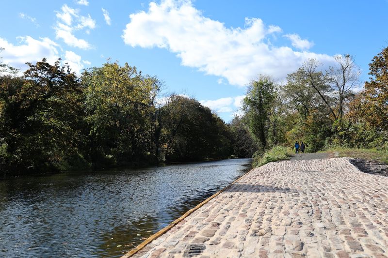
History does not wait until the endpoint on this section. It turns up in the locks, old houses, bridge approaches, and fragments of canal infrastructure scattered beside the path.
Leaving Lambertville, the feeder canal runs south between the Delaware River and wooded bluffs, gradually trading downtown energy for a quieter landscape.
The route passes near Fireman’s Eddy and continues toward Titusville, where Washington Crossing State Park adds Revolutionary War context to an already scenic outing.
This is a longer commitment than the Stockton segment, making it best suited to cyclists or walkers planning a one-way trip with a shuttle. The level grade keeps the effort reasonable, but mileage still counts, especially on a warm afternoon.
River views appear intermittently rather than continuously, which makes each opening through the trees feel earned. At Washington Crossing, visitors can pair the trail with a picnic, a look around the historic district, or a short walk near the famous crossing site.
Restrooms and other facilities are more dependable around the state park than along the quieter middle miles, so plan accordingly. A hybrid, touring, or gravel bike works well on the fine crushed-stone surface.
Bring water, since convenient stops are limited after leaving Lambertville. This section is particularly good in late October, when the canal becomes a dark mirror beneath yellow leaves and the surrounding history feels less like a museum lesson than part of the landscape.
5. Washington Crossing to Trenton
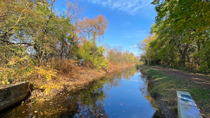
Few trail outings move so naturally from wooded river scenery into the middle of a state capital. The journey begins near fields and historic buildings associated with Washington’s 1776 crossing, then follows the feeder canal south through increasingly developed surroundings.
Near Scudder Falls and Ewing, the towpath still delivers stretches of water, mature trees, and old canal structures, but the urban edge gradually becomes more visible. Cadwalader Park offers a useful pause before the route enters Trenton proper.
Designed by Frederick Law Olmsted’s firm, the park provides broad lawns and winding drives that contrast nicely with the canal’s straight geometry.
Farther south, trail users encounter a more complicated city segment involving crossings, changing surfaces, and places where the historic canal corridor is less obvious.
That complexity is part of what makes this stretch worth exploring separately: it shows how the canal shaped Trenton rather than presenting the waterway only as a rural escape. The Battle Monument provides a fitting landmark near the city portion of the route.
Cyclists should allow extra time for navigation and remain alert around streets and intersections. This is one outing where studying the current route before leaving pays off, since detours or maintenance can alter the preferred path.
Go during daylight, ride with a companion if possible, and treat the trip as an urban history tour with a long green approach.
6. Bakers Basin to Princeton
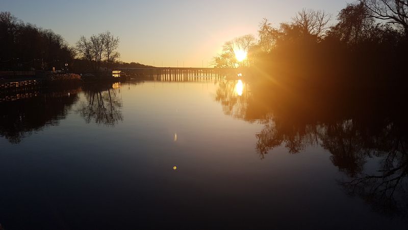
The canal becomes wonderfully calm just beyond the busy roads of Lawrence Township. Starting near Bakers Basin, the towpath heads northeast past water that often lies smooth enough to reflect entire rows of trees.
Port Mercer is the standout historical stop, with its restored bridge tender’s house recalling the days when workers opened swing bridges for passing canal boats. The surrounding hamlet is small, quiet, and unusually photogenic, especially when morning mist hangs over the water.
Continuing toward Princeton, the trail passes beneath bridges and skirts the edge of neighborhoods without losing its sheltered character. Near Alexander Road, the route reaches one of its most useful access points for combining trail time with a visit to downtown Princeton.
The center of town is not directly beside the canal, but it is close enough to add lunch or coffee if you are willing to leave the towpath. This segment works well for both walking and cycling because there are several possible turnaround points.
Families may prefer a shorter trip around Port Mercer, while stronger riders can continue farther toward Kingston. The natural towpath surface can become muddy after sustained rain, and tree roots create occasional bumps.
On dry days, however, the grade is forgiving and the scenery does most of the work. It is an excellent introduction to the main canal: historic, accessible, and peaceful without feeling remote.
7. Princeton to Kingston
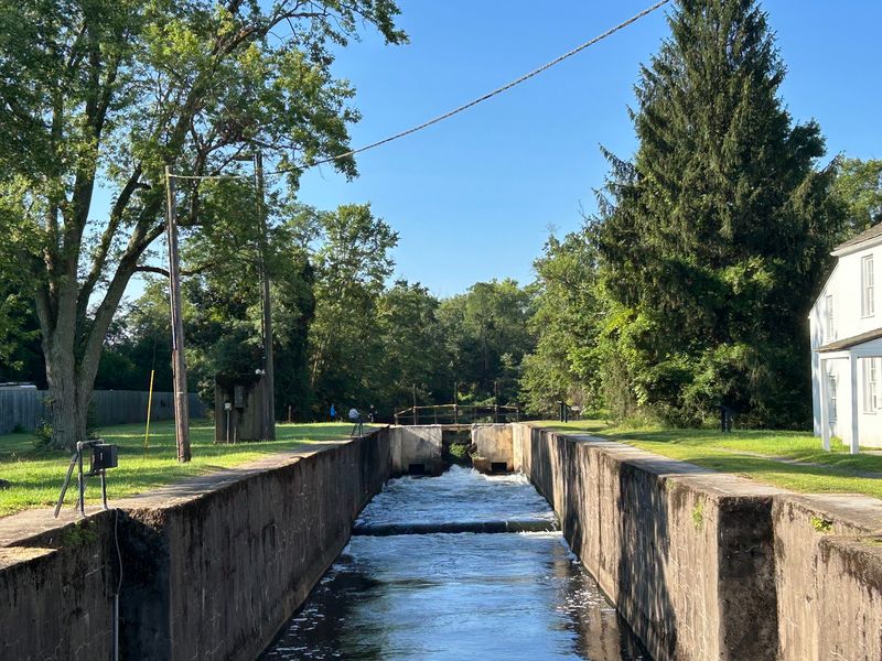
Arched stone bridges steal the show here. Between Princeton and Kingston, the towpath passes beneath several handsome crossings that turn a straightforward canal walk into something resembling an outdoor architecture tour.
Begin near Alexander Road or one of the established Princeton access points and head northeast alongside Carnegie Lake. Water appears on both sides in places, with the narrow canal running beside the broader lake and wetlands spreading beyond it.
Rowers may glide across the lake while turtles occupy half-submerged logs closer to the towpath. Farther along, the route passes the area around Harrison Street and continues toward the historic Kingston canal house and lock.
This section is flat and comfortably sized for a half-day bicycle outing, yet it also breaks neatly into shorter walks. The proximity to Princeton means weekends can be busy with runners, dog walkers, and families, so cyclists should use a bell and slow down around bridges where visibility tightens.
Kingston makes a satisfying endpoint because its canal buildings give the ride a clear sense of arrival rather than an arbitrary turnaround. The nearby village also offers opportunities to extend the day beyond the trail.
Early morning is ideal for still water and fewer users; late afternoon brings attractive light beneath the bridges. After rain, expect softer ground and puddles along shaded portions.
For scenery, engineering, and easy access in one package, this is one of the canal’s most complete short outings.
8. Kingston to Griggstown
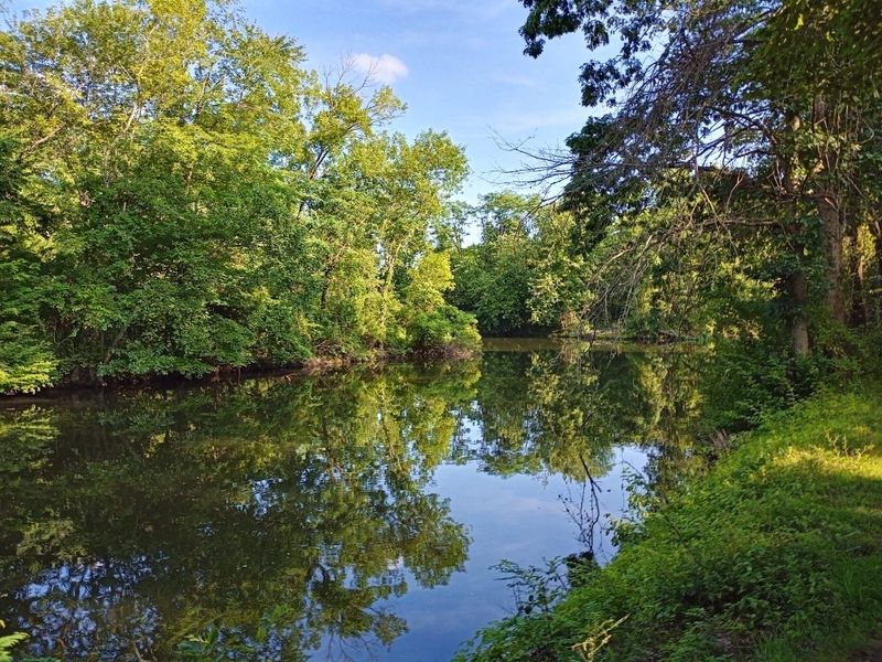
Wide farm fields begin replacing Princeton’s bridges and neighborhoods as the towpath pushes north from Kingston. The change happens gradually, but by the time the route nears Rocky Hill, the landscape feels unmistakably rural.
The Millstone River accompanies the canal through much of this area, creating wetlands that attract herons, kingfishers, turtles, and the occasional bald eagle. Rockingham Historic Site sits near the route and preserves the house where George Washington stayed while Congress met in Princeton in 1783.
Even without adding a formal tour, the surrounding grounds make a worthwhile detour. Farther north, the trail reaches the Griggstown area, known for its bridge tender’s house, canal bridge, mill buildings, and cluster of historic homes.
This is a longer section, so cyclists will get the most comfortable full-length outing, although walkers can start at either end and explore a smaller portion. The towpath is mostly shaded, but exposed sections near fields can feel hot at midday.
Pack water and insect repellent during summer, when wetlands keep mosquitoes well supplied. Griggstown has limited services immediately beside the canal, so do not count on buying snacks at the turnaround.
What it lacks in convenience, it makes up for in continuity: miles of water, woods, and farmland with few interruptions. Spring wildflowers and autumn foliage are strong draws, while winter reveals old walls and canal structures hidden by leaves during the rest of the year.
9. Griggstown to East Millstone
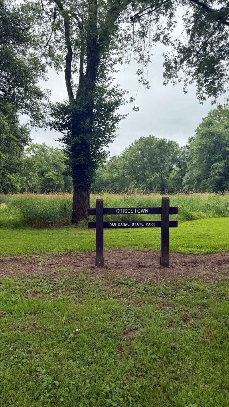
For a lesson in how a canal crosses a river, head north from Griggstown toward the Millstone Aqueduct. This impressive stone structure once carried canal water over the Millstone River, solving an engineering problem that is easy to overlook until you are standing beside it.
The aqueduct gives this segment a memorable centerpiece, but the miles around it have their own appeal. The towpath passes wetlands, wooded banks, old bridge tender locations, and long quiet stretches where the loudest sounds are bicycle tires on packed earth and geese arguing overhead.
Continuing toward East Millstone, the scenery opens and closes as the canal edges past farmland and small residential pockets. The village makes an appealing turnaround, with historic buildings that hint at the canal-era activity once concentrated here.
Because the full stretch covers substantial ground, cyclists should plan most of a day for an out-and-back journey or arrange a pickup at the opposite end. Walkers can focus on the Griggstown-to-aqueduct portion for a more compact excursion.
Surface conditions vary with weather, and low areas may stay soft after rain. There is little shade in a few exposed sections, so summer riders should start early.
This part of the trail rarely feels crowded, even on pleasant weekends. It is the section to choose when you want major canal engineering, abundant birdlife, and the steady rhythm of a route that seems to run straight through central New Jersey’s quieter past.
10. East Millstone to New Brunswick
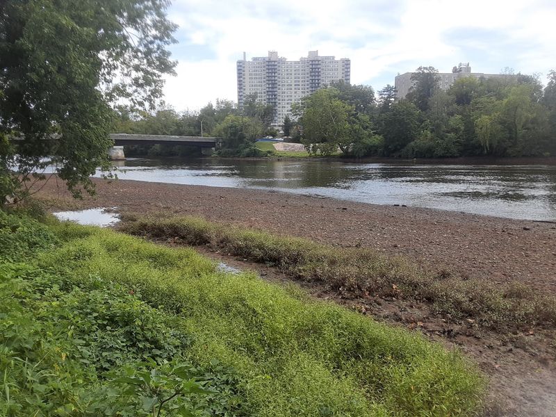
The final approach to New Brunswick reveals the canal as infrastructure rather than decoration. Leaving East Millstone, the towpath travels through a mix of woods, river plain, former industrial territory, and communities built around transportation corridors.
Blackwells Mills provides an early highlight, with a historic bridge tender’s house and one of the canal’s most recognizable crossings.
Farther northeast, the route reaches the Weston Causeway area and continues toward South Bound Brook, where locks and surviving structures make the canal’s working history particularly visible.
The last miles toward Landing Lane and New Brunswick feel increasingly urban, with the Raritan River, railway lines, highways, and city buildings entering the scene. That progression gives this section a narrative arc few other parts of the trail can match.
It begins in a quiet village and ends near one of central New Jersey’s busiest centers. The entire distance is best handled by bicycle, preferably with transportation arranged at the finish.
Trail surfaces can become rougher near the New Brunswick end, and flooding has periodically affected portions of the corridor, so checking current conditions is especially important. Bring repair basics and use a bike suited to packed dirt, gravel, and occasional uneven ground.
If the complete stretch sounds ambitious, Blackwells Mills and South Bound Brook both provide strong shorter options. Finish near New Brunswick and the reward is practical as well as satisfying: restaurants, transit connections, and the unmistakable feeling that you followed the canal to its eastern conclusion.
Share this story